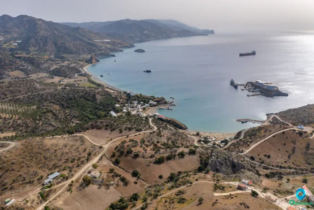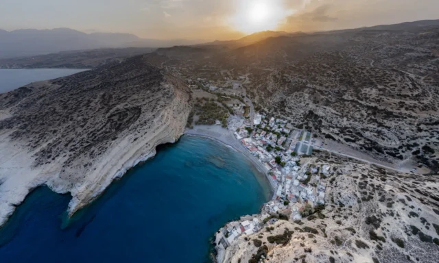
Lithino Cape
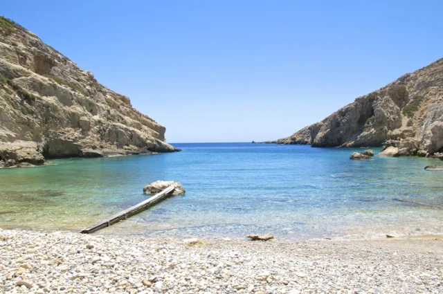
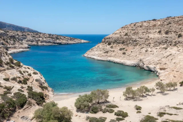
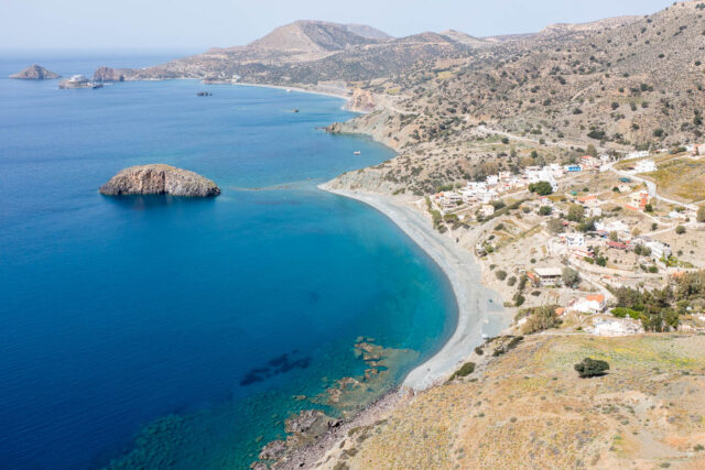
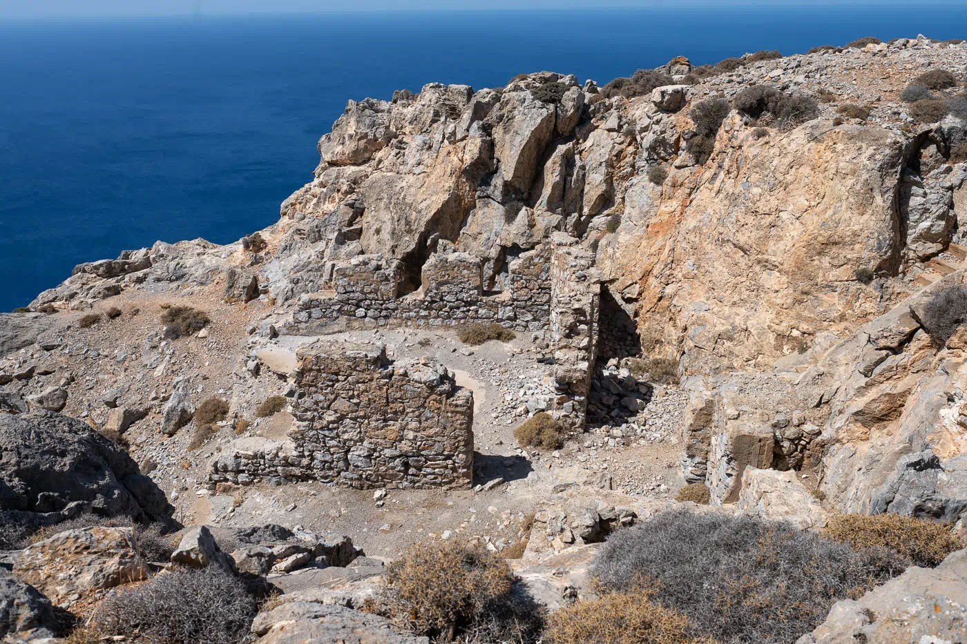
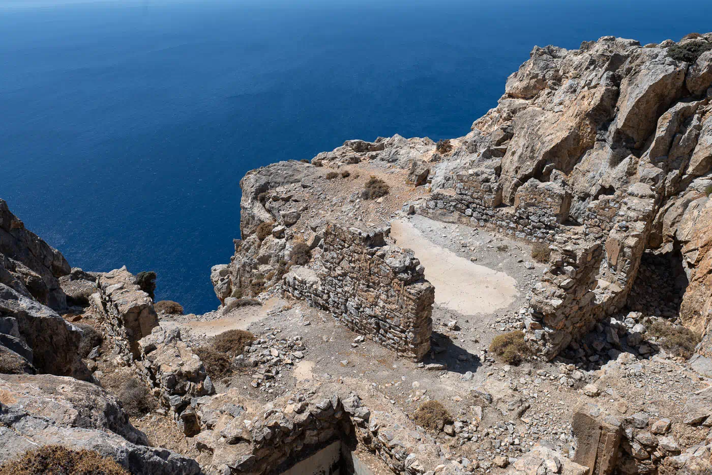
Lithino Cape, the southernmost point of Crete, is located southwest of Heraklion. The name “Lithino,” meaning “stony,” aptly describes the cape’s landscape, which is strewn with rocks and cliffs. It marks the edge of the Messara Plain. The cape’s strategic location, offering a commanding view of the southern coastline, led the Germans to construct fortifications there during World War II. These installations were part of a larger network aimed at defending against a potential invasion from Egypt.
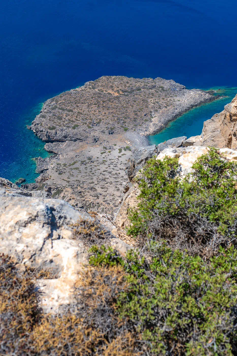
Kefali Peak
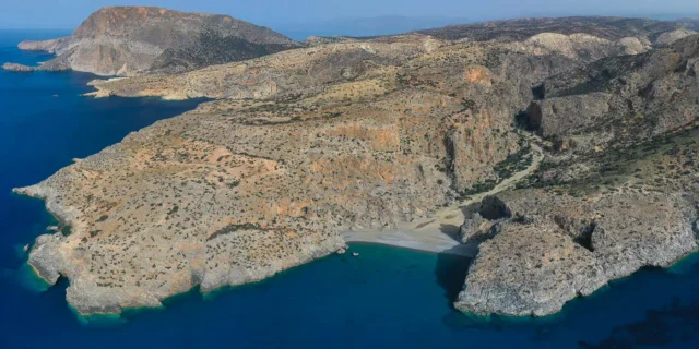
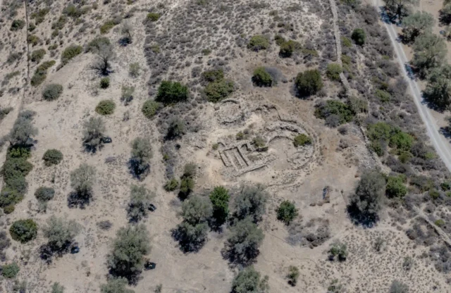
Mount Kefali, situated on Lithino Cape, rises to an elevation of 388 meters. The peak offers breathtaking views that extend to Gavdos and the rugged Asterousia Mountains coastline. The landscape is characterized by near-vertical cliffs that descend dramatically to the sea, creating a sense of awe and highlighting the untamed beauty of the area. The remnants of German pillboxes built during the war can still be found on Kefali, serving as a reminder of its historical significance.
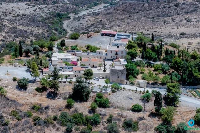
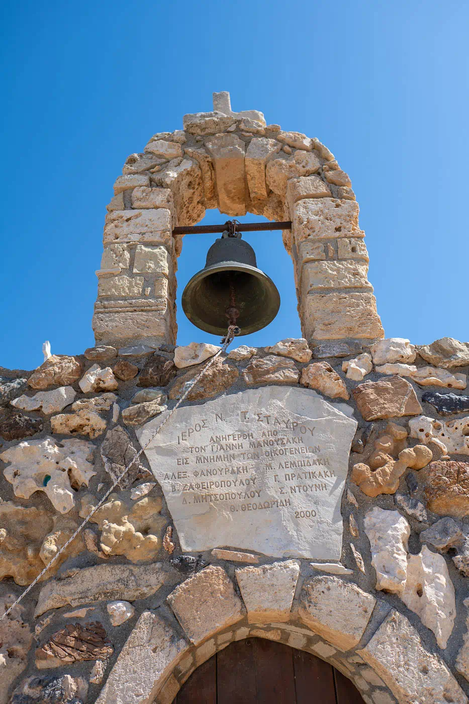
A Place of Worship and War
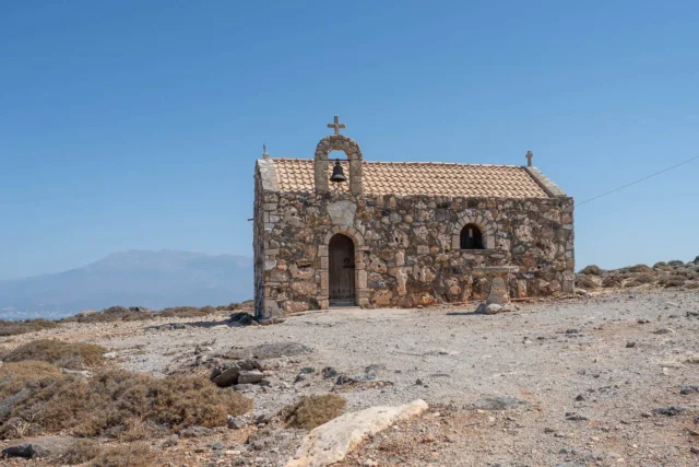
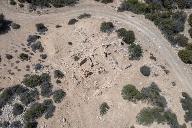
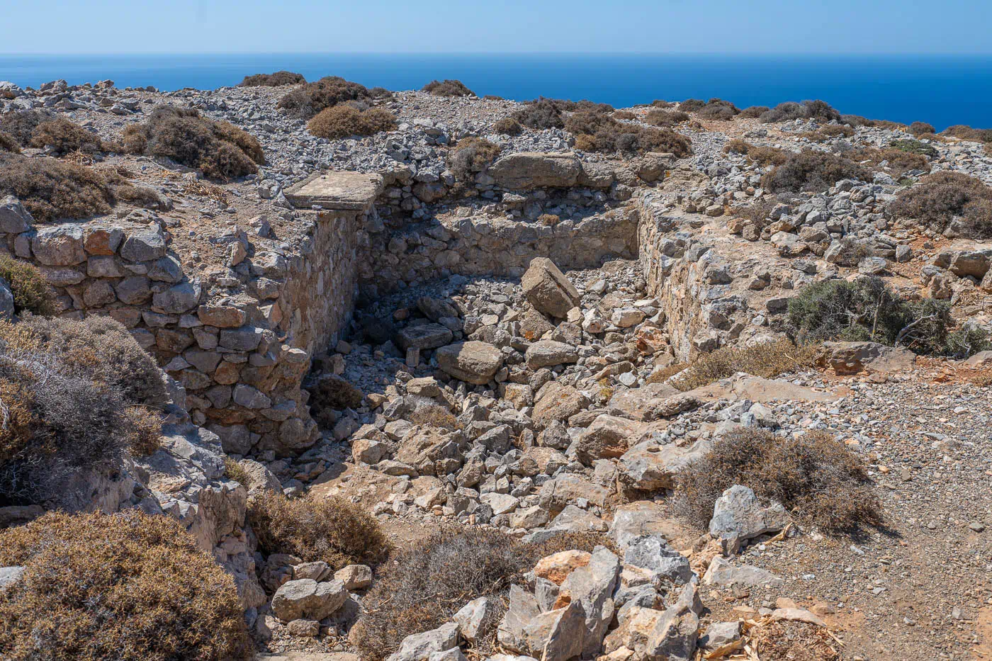
Atop Kefali Peak stands the small stone church of Timios Stavros. This humble structure is a testament to the site’s enduring importance as a place of worship and refuge. However, Kefali Peak also bears the scars of war. The ruins of pillboxes built by the Germans during the Second World War are a stark reminder of the cape’s strategic value. These pillboxes were part of a network of fortifications constructed by the occupying forces to control the southern coastline of Crete.
Additional Information
- Construction Period: German fortifications were constructed during World War II (specifically during the German occupation of Crete).
- Location: Lithino Cape, southern Crete, 80 km southwest of Heraklion.
- Historical Significance: The cape and peak played a strategic role during World War II, serving as a vantage point for monitoring the southern coastline and deterring potential invasions.
- Current Status: The area retains remnants of the German fortifications, including pillboxes and a water tank. The natural beauty of the landscape remains a prominent feature, attracting visitors with its dramatic cliffs and panoramic views.