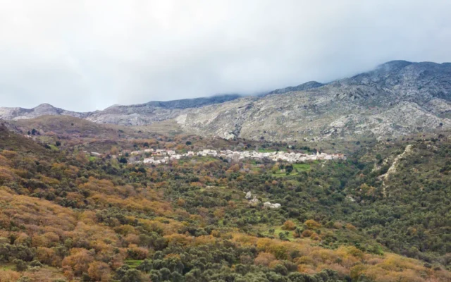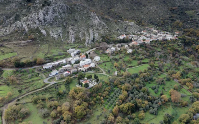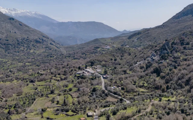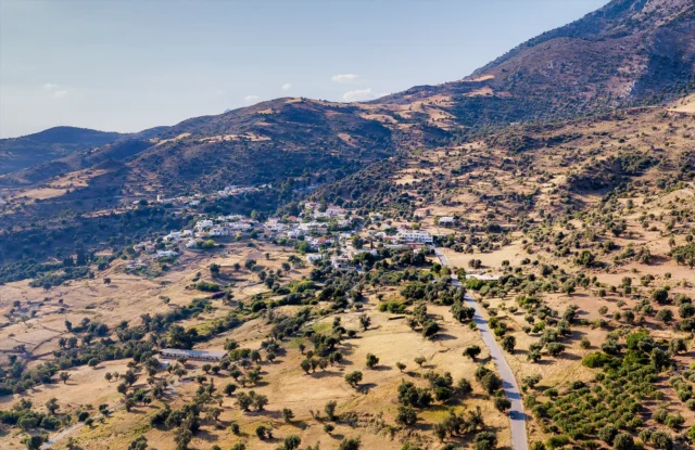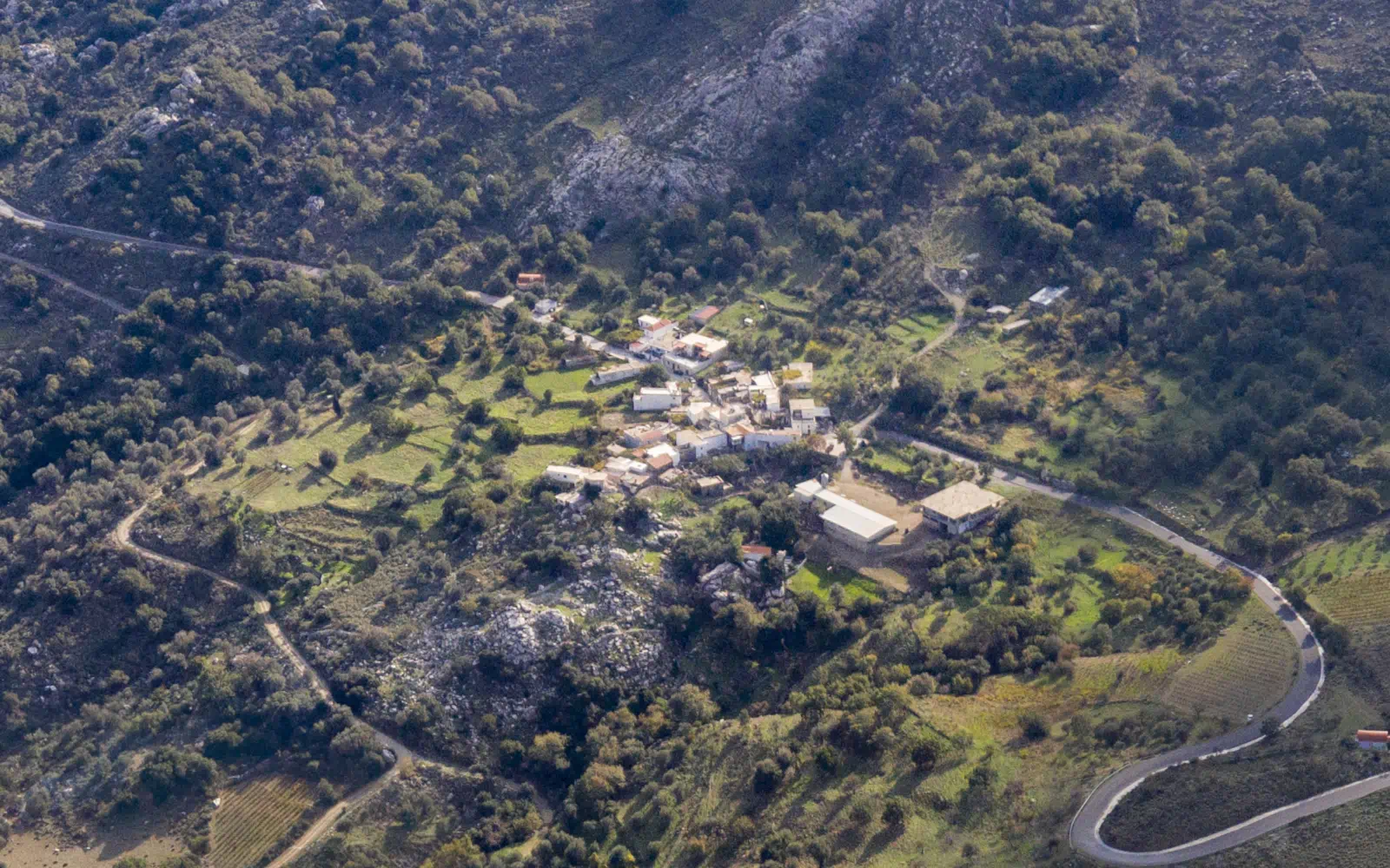
Drygies is a village situated in the Amari Municipality, within the Rethymno regional unit of Crete, Greece. It is part of the Ano Meros Community and has a population of 26 according to the 2011 census. The village is located at an altitude of 580 meters and is 47 kilometers away from Rethymno.
Historical Context
The village is first mentioned by Francesco Barozzi in 1577 as “Dhries.” The 1583 Venetian census by Kastrofylakas records it as “Dries” with 57 inhabitants and 112 owed corvée labor days. The 1834 Egyptian census documented 5 Christian and 2 Muslim families residing in the village.
In the 1881 census, Drygies was part of the Apoudoulos municipality and had 61 inhabitants, all Christian. The 1900 census recorded 92 inhabitants, still within the same municipality. In 1920, it was listed as attached to the rural municipality of Ano Meros. In 1925, the village was incorporated into the Ano Meros community, where it remained until the Kapodistrias administrative reform, when it was attached to the Municipality of Sybritos. Since 2011, it has been part of the Amari Municipality.
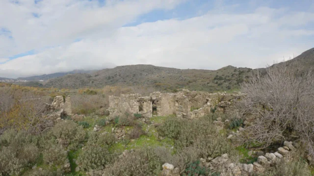
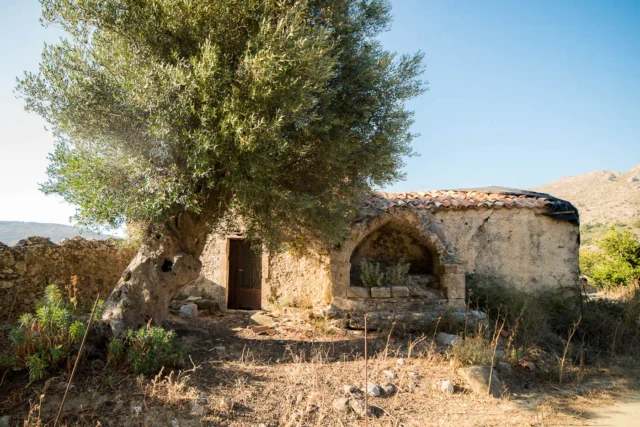
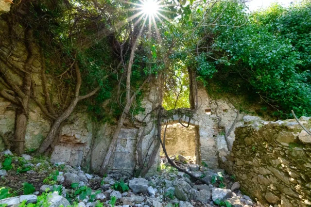
Following the abduction of Lieutenant General Kreipe in 1944, the German occupation forces decided to destroy the villages of Kendros in retaliation. However, the Germans were delayed in encircling Drygies, allowing the villagers, alerted by shepherds, to evacuate in time. Consequently, the Germans only destroyed the village’s buildings.
Landmarks
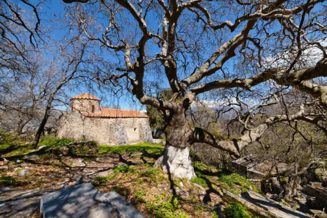
The village church is dedicated to the Annunciation of the Virgin Mary.
Nearby Attractions
- Smiliano Gorge: A picturesque gorge with impressive waterfalls located near the village.
- Platys Potamos: An area of outstanding natural beauty situated in the broader vicinity of the village.
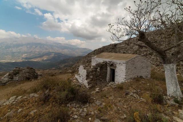
- Scattered Chapels: Several small chapels are dispersed throughout the region surrounding the village.
- Ancient Olive Grove: Between the Smiliano Gorge and the northeastern villages of Kendros (Kardaki, Drygies, Ano Meros) lies an ancient olive grove with numerous wild olive trees featuring massive trunks with unique shapes and formations.
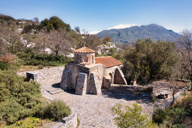
- Byzantine Chapel of Agios Nikolaos: A small, single-domed Byzantine chapel with frescoes in need of restoration is located near the olive grove.
Village Key Points
- Historical References: Mentioned in historical records from 1577 onwards.
- Location: Amari Municipality, Rethymno regional unit, Crete, Greece.
- Dimensions: Small village.
- Historical Significance: Destroyed during WWII as part of German reprisals.
- Population data over the years:
Census Year |
Population |
|---|---|
1900 |
92 |
1920 |
83 |
1928 |
94 |
1940 |
93 |
1951 |
90 |
1961 |
79 |
1971 |
59 |
1981 |
53 |
1991 |
39 |
2001 |
26 |
2011 |
26 |
- Current Status: Small village with a declining population.