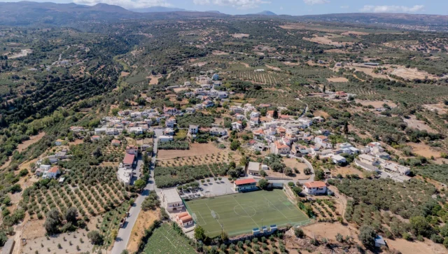
Perama is a town and the seat of the Mylopotamos municipality in the Rethymno regional unit on the island of Crete, Greece. The 2021 census recorded a population of 1,937 residents.
Geography
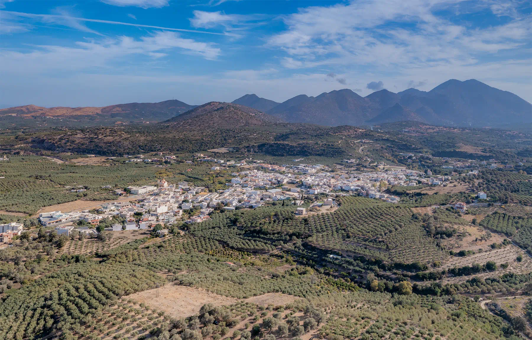
Perama is situated at the 24th kilometer of the old central road connecting Rethymno and Heraklion, within the Kato Mylopotamos region. It lies on the western bank of the Geropotamos river (also known as Aulopotamos or Mylopotamos), east of Mylopotamos, at an altitude of 75 meters. The current steel Bailey bridge, which provides access to Panormo and Melidoni, likely replaced an older river crossing. Even without a bridge, Perama’s location has always served as a natural passage to most villages in Kato Mylopotamos, hence its name, which translates to “crossing” or “passage.” The town covers an area of 4 square kilometers, with 3,600 acres of cultivated land and 400 acres occupied by houses, roads, and other infrastructure.
History
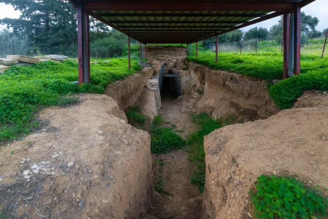
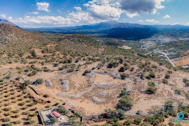
Known as Vasiliko Perama during the Venetian era (1583), the town was burned by the Turks during their conquest of Rethymno in 1646, along with several other villages. Under Ottoman rule, it remained a small settlement and, for a time, served as a base for some of the most brutal Turks who tormented and killed Christians passing through the area. Archaeological excavations near Perama have uncovered remnants of settlements dating from the Proto-Minoan to the Roman periods, suggesting a long history of habitation in the region.
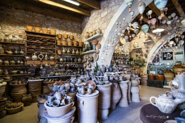
Following the construction of Crete’s first highway in the 1920s, Perama replaced Panormo as the major commercial hub of the area. It evolved into a town with various administrative and service facilities. Today, it houses a courthouse, a police station, a high school, two elementary schools, two kindergartens, a state-run daycare center, a land registry office, a public treasury, a veterinary clinic, branches of national and agricultural banks, a private daycare center, an urban planning office, a health center, dental clinics, and numerous shops. The Union of Agricultural Cooperatives of Mylopotamos is also headquartered in Perama.
Perama was officially recognized as a community on September 23, 1930, encompassing the villages of Angeliana and Choumeri. While its initial inhabitants were primarily families from the village itself, the first resident recorded in the community archives is Anastasios Agas, born in 1880 on the island of Folegandros. Petros Chourdakis served as the first president of the community.
Administrative and Population Data
Perama was officially listed as a settlement in 1925 and became the seat of the Geropοtamos municipality in 1997.
Village Key Points
- Historical References: Known as Vasiliko Perama during the Venetian era (1583). Burned by the Turks in 1646.
- Location: 24th kilometer of the old central road between Rethymno and Heraklion, on the western bank of the Geropotamos river.
- Dimensions: Covers an area of 4 square kilometers.
- Historical Significance: Served as a natural passage to villages in Kato Mylopotamos. Briefly a base for brutal Turks during the Ottoman era. Archaeological evidence suggests settlements dating back to the Proto-Minoan period.
- Population data over the years:
YearPopulation15831931881351900019208219289219402831951410196161419719551981112719911453200115982011154520211937 - Current Status: A town and the seat of the Mylopotamos municipality, serving as a commercial and administrative center for the region.
[tribe_featured_venue id=``9407``]