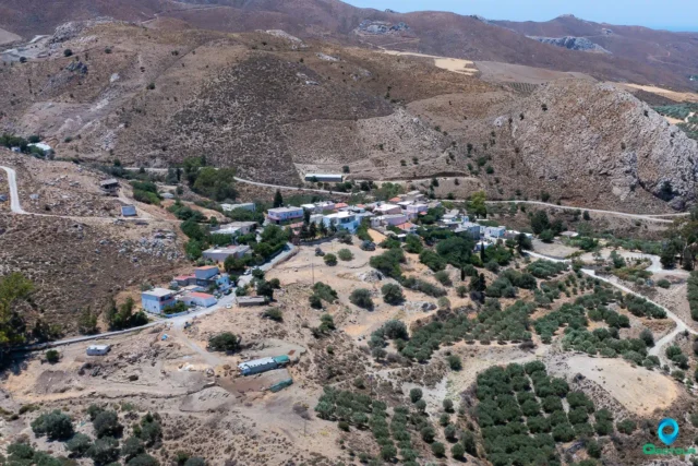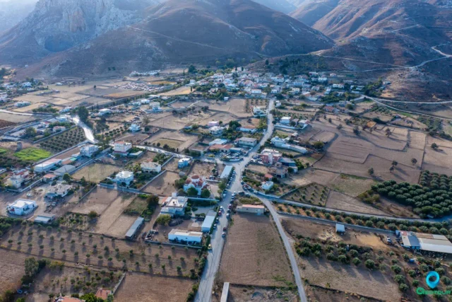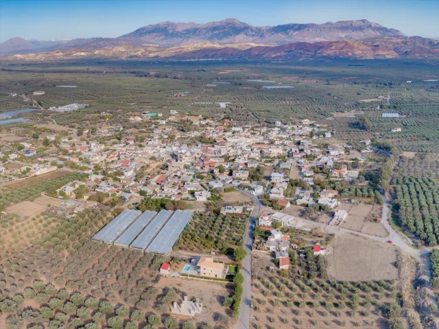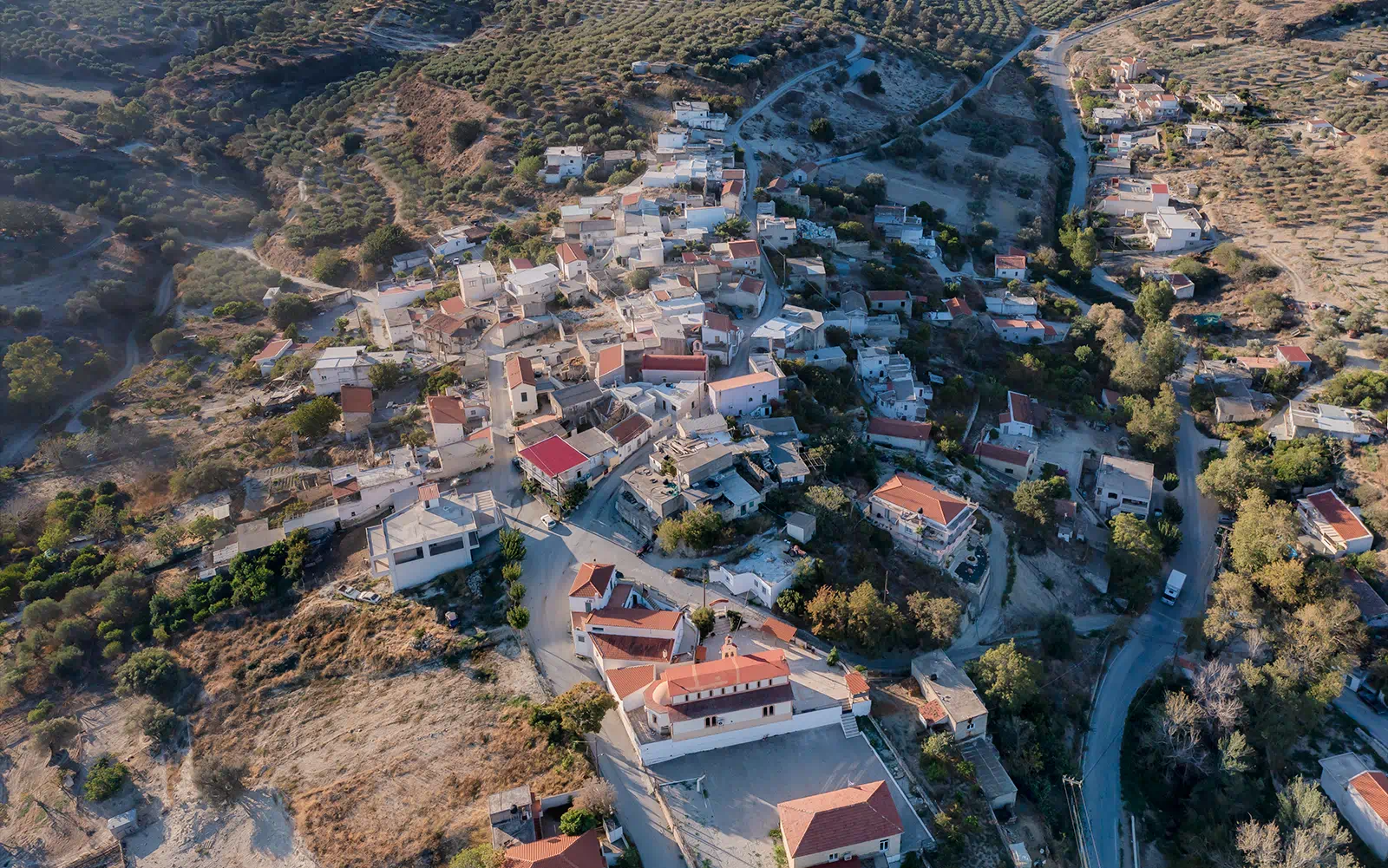
Vasiliki is a village located in the municipality of Gortyna, in the Heraklion regional unit of Crete, Greece. Situated near the Asterousia Mountains at an altitude of 260 meters, it is approximately 56 kilometers from Heraklion. The village is accessible via a branch road from Vasiliki Anogeia. Vasiliki is part of the local community of the same name, which also includes the settlement of Kandila.
Historical References
The village’s history traces back to the Venetian period, when it was referred to as “Vasiglichi” with 406 residents in the census of Kastrofylakas. The nearby settlement of Kandila is mentioned as “Candila et Camaria” with 166 residents in 1583. In the Turkish census of 1834, Vasiliki is recorded as having 5 Turkish and 5 Christian families. By 1881, the population had grown to 123 Christians and 45 Turks.
Location
Located approximately 56 kilometers from Heraklion, the capital of Crete, Vasiliki strikes a balance between accessibility and rural tranquility. While it remains connected to the island’s urban center, it retains its distinct character as a village nestled in the foothills. The village is close to the Agios Savvas Gorge, which winds through the Agios Savvas forest with its olive and carob trees, eventually leading to the sandy Trypiti beach on the Libyan Sea.
Historical Significance
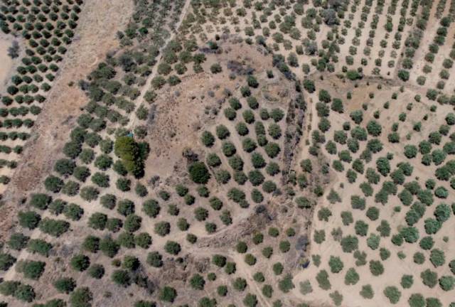
The village and its surroundings boast a rich historical heritage. Archaeological excavations at the site known as “Kefali” have revealed a significant Minoan settlement dating back to 2300-2100 BC. The distinctive pottery found at this site led archaeologists to designate a specific style as the “Vasiliki style,” highlighting the importance of the findings for understanding early Minoan technology and artistic expression.
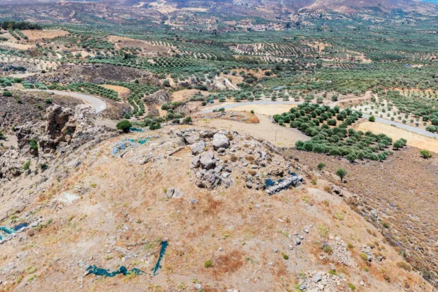
In addition, the ruins of an early Christian church (4th-6th centuries AD) can be found at the location known as “Venetsanos.” This church is believed to have been built on the foundations of an older pagan temple, suggesting a continuity of religious practices in the area across different historical periods.
Population Data Over the Years
Year |
Population |
|---|---|
1981 |
358 |
1991 |
252 |
2011 |
188 |
Current Status
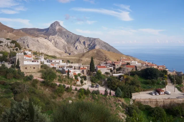
Today, Vasiliki is a small village with a population of 188 inhabitants. It retains its traditional character, with old stone houses and narrow streets. The village is known for its picturesque square with a small pond and its welcoming coffee shops. Vasiliki also offers opportunities for outdoor activities, such as hiking in the Agios Savvas Gorge and swimming at Tripiti beach. The Agios Savvas Forest, rich in olive and carob trees, both cultivated and wild, is another notable feature of the area. The central church in the village is dedicated to the Annunciation of the Virgin Mary. The village celebrates its feast days on September 8th and August 29th. Vasiliki also has a primary school.
Village Key Points
- Historical References: Venetian and Turkish censuses, archaeological findings
- Location: Near the Asterousia Mountains, 56 kilometers from Heraklion
- Dimensions: The village itself is relatively small, but the surrounding area includes natural and archaeological sites of significant size
- Historical Significance: Home to a Minoan settlement with distinctive pottery finds and an early Christian church built on the foundations of a pagan temple
- Current Status: A small village with a population of 188, offering a glimpse into traditional Cretan life and access to natural and historical attractions