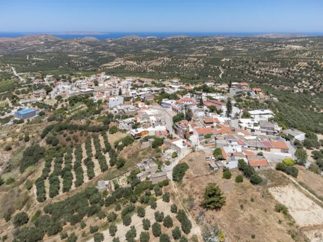
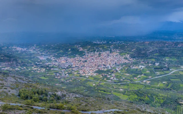
Patsides is a village located in the Heraklion regional unit of Crete, Greece. It is part of the Kato Archanes Community within the Archanes-Asterousia Municipality. According to the 2011 census, the village has a population of 391. It is situated 11 kilometers south of Heraklion at an altitude of 250 meters, along the road to Archanes.
Historical Context
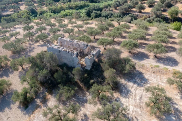
The earliest written reference to Patsides dates back to a 1271 contract mentioning the leasing of vineyards in the village of Pano Spartido, which Stergios Spanakis identifies as Pano Patsides (Upper Patsides). In 1279 contracts, it is referred to as Spartides. Notarial documents from 1333 indicate that Kato Patsides (Lower Patsides) was a patriarchal village belonging to the Latin Patriarchate of Constantinople. Kato Patsides is also mentioned in a 1378 ducal document, and Pano Patsides appears in a 1380 document.
Venetian records mention two settlements: Pacidhes apano (Upper Patsides) and Pacidhes cato (Lower Patsides) in Francesco Barozzi’s 1577 writings. The 1583 Venetian census by Kastrofylakas lists Pazzides apano and Pazzides cato, both with 69 inhabitants. Francesco Basilicata also mentions Pacidhes Ap(an)o and Pacidhes cato in 1630. While the villages aren’t mentioned in the 1671 Ottoman census, they appear in a 1673 contract, possibly as a toponym. The 1834 Egyptian census refers to one settlement, Patsidhi, with 4 Christian and 6 Muslim families.
In the 1881 census, Patsides had 36 Christian and 49 Turkish inhabitants and belonged to the Agioi Paraskevi municipality. In the 1900 census, it remained within the same municipality and had 57 inhabitants. By 1920, it was part of the Skalani community, where it remained until 1948 when it was incorporated into the Kato Archanes community.
Village Key Points
- Historical References: Mentioned in documents from 1271 onwards, including Venetian and Ottoman censuses
- Location: Heraklion regional unit, Crete, Greece, 11 kilometers south of Heraklion
- Historical Significance: Evidence of habitation since at least the 13th century, once part of the Latin Patriarchate of Constantinople
- Population data over the years:
Census Year |
Population |
|---|---|
1900 |
57 |
1920 |
110 |
1928 |
129 |
1940 |
130 |
1951 |
146 |
1961 |
119 |
1971 |
98 |
1981 |
113 |
1991 |
160 |
2001 |
391 |
2011 |
391 |
- Current Status: Village within the Kato Archanes Community, part of the Archanes-Asterousia Municipality