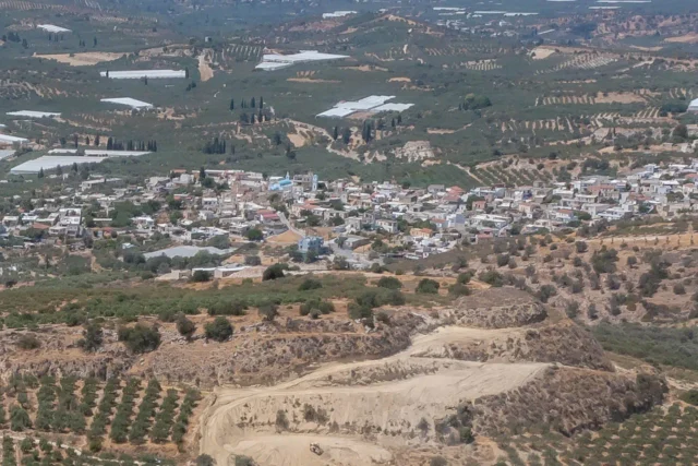
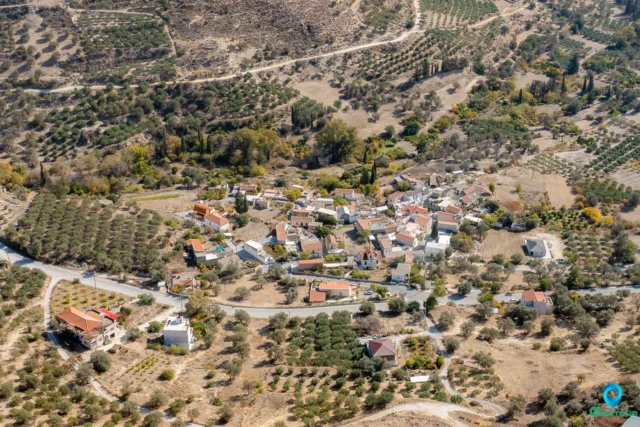
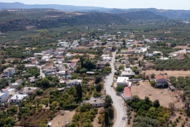
Moires is a modern town experiencing continuous development. Its residents are primarily involved in agriculture, livestock farming, tourism, and trade. Its central location in the fertile plain has contributed to its dynamism. The climate is generally warm, with summer temperatures often exceeding 40°C.
While the town’s modern appearance reflects somewhat disorganized construction, Moires offers opportunities for leisurely strolls through the narrow streets of the old village. Additionally, on Saturdays, thousands of residents from the surrounding villages gather in Moires for the largest bazaar and open-air market in Cret
Historical References
The historical roots of Moires offer intriguing glimpses into the region’s past. One theory suggests that the town was established during the Venetian era by Peloponnesian refugees from Nafplio and Monemvasia. Moires is not mentioned in Venetian censuses or the Turkish census of 1834. The settlement is first recorded in 1881 with 83 Christian and 62 Turkish inhabitants. It was officially recognized in 1925 as the seat of the newly founded community of the same name. In 2010, it was detached from the municipality of Mires and designated as the seat of the municipality of Phaistos.This narrative aligns with the town’s name, derived from the Greek word “μοίρες” (shares), signifying the land allotments granted to these settlers.
Location
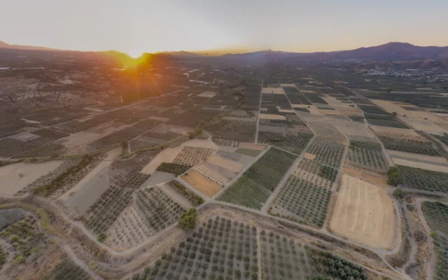
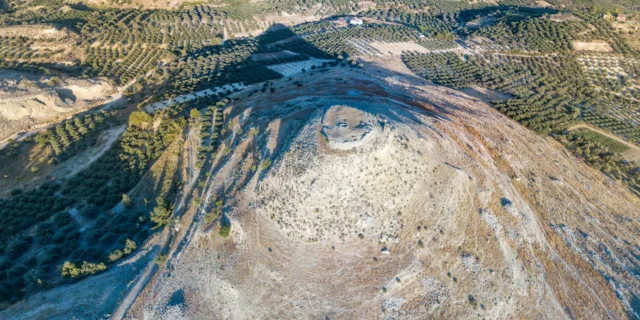
Moires occupies a strategic position in the heart of the fertile Messara plain, a sprawling agricultural region renowned for its productivity. This central location, coupled with its proximity to the Geropotamos River, has undoubtedly contributed to the town’s historical development and current prosperity.
The town’s accessibility, situated approximately 38 kilometers southwest of Heraklion, further enhances its appeal. Moires serves as a convenient hub for exploring the surrounding areas, including the captivating coastal towns and villages, as well as the awe-inspiring archaeological sites that dot the landscape.
Historical Significance
Moires’ historical significance is interwoven with the broader narrative of Crete’s complex and fascinating past. The town’s name, a testament to the land allocation practices of the Venetian era, reflects the island’s history of migration and cultural exchange.
The vibrant Saturday market, a tradition dating back to the Ottoman period, serves as a living link to the town’s historical roots. This bustling marketplace, where locals and visitors gather to trade goods and socialize, embodies the enduring spirit of community and commerce that has shaped Moires over the centuries.
Moreover, the town’s proximity to significant archaeological sites such as Phaistos and Agia Triada underscores its connection to the island’s ancient civilizations. These remnants of Minoan culture offer a tangible link to Crete’s rich and storied past, inviting exploration and contemplation.
Population Data Over the Years
Year |
Population |
Notes |
|---|---|---|
1583 |
||
1881 |
145 |
83 Christians, 62 Muslims |
1900 |
240 |
|
1920 |
295 |
|
1928 |
553 |
|
1940 |
1093 |
|
1951 |
1674 |
|
1961 |
2195 |
|
1971 |
2948 |
|
1981 |
3501 |
|
1991 |
4671 |
|
2001 |
5883 |
|
2011 |
6305 |
|
2021 |
6889 |
Current Status
Today, Moires stands as a testament to the resilience and resourcefulness of its people. The town has successfully navigated the challenges of history, emerging as a thriving hub of activity in southern Crete. Its agricultural sector, bolstered by fertile lands and innovative practices, continues to drive economic growth and provide livelihoods for many residents.
The town’s role as the administrative seat of the Phaistos Municipality further solidifies its importance in the region. Moires boasts a range of amenities, including three preschools, two primary schools (headquarters of the 4th Primary Education Office), one high school, two lyceums (including one vocational school), banks, a Citizens’ Service Centre (KEP), a post office, a health center, a magistrate’s court, a police station, and a radio station.
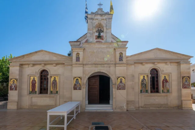
The residents of Moires engage in various occupations, including trade, business, and, most prominently, agriculture. The town is home to several churches: Agios Georgios, Agios Raphael, Agios Nektarios, Agia Paraskevi, and Agios Konstantinos. Additionally, the churches of Agios Georgios and Agios Myron are located in the nearby Kappariana neighborhood.
From Moires, visitors can easily access various attractions, including Roman Gortyna, the Minoan palaces of Phaistos and Agia Triada, Matala, the Faneromeni dam, the villages of Psiloritis, the rugged Asterousia Mountains, and more.
Village Key Points
- Historical References: Established during the Venetian era, potentially by Peloponnesian refugees. First recorded in 1881.
- Location: Central Messara plain, 38 kilometers southwest of Heraklion, near Geropotamos River.
- Historical Significance: Named after land divisions allocated by the Venetians. The town’s Saturday market has roots in the Ottoman era.
- Population data over the years: Significant population growth, from 240 in 1900 to over 6,300 in 2011.
- Current Status: A thriving commercial and administrative center in Messara, known for its agriculture, market, and proximity to historical sites.