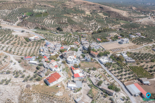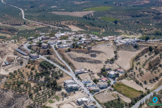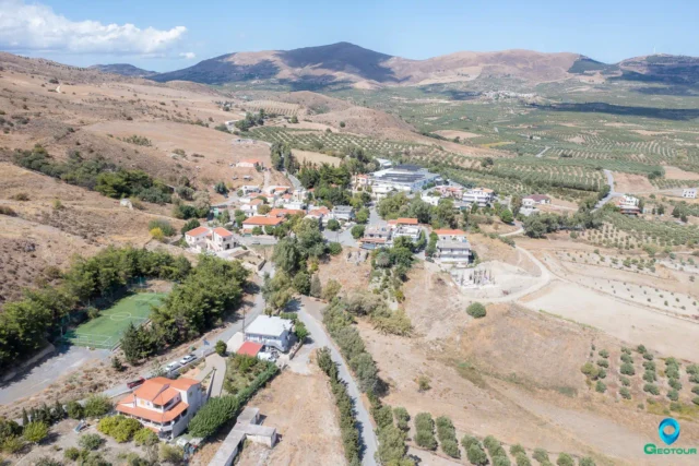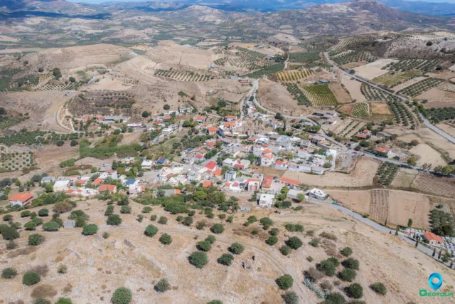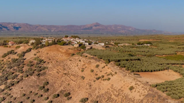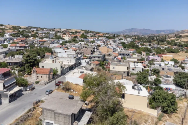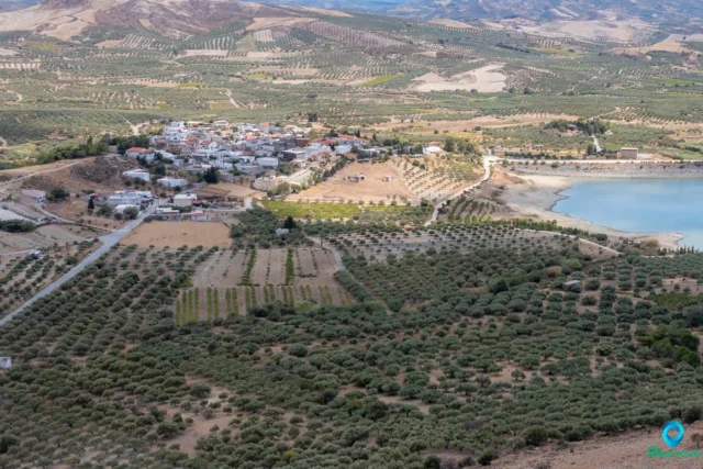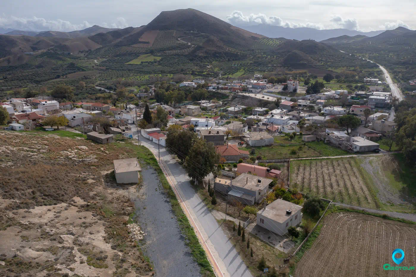
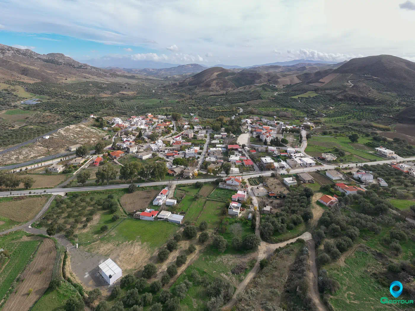
Larani (Λαράνι) is a village located in the Heraklion regional unit on the island of Crete, Greece. It lies within the municipality of Gortyna and is part of the Agia Varvara municipal unit.
Location
Larani sits at an altitude of 440 meters and is 37.5 kilometers from Heraklion, the island’s capital.
History
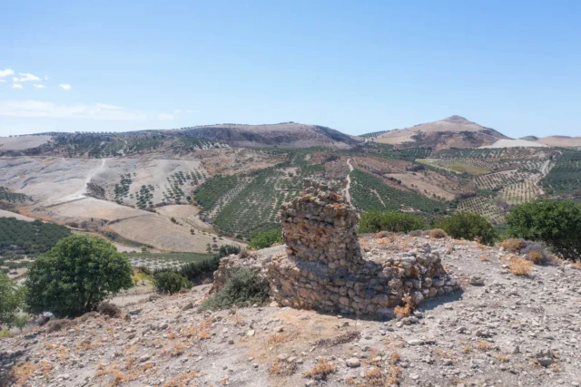
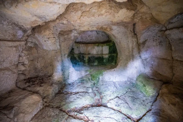
The village’s history dates back to the Venetian period when it comprised two settlements, a characteristic it retains today. The earliest documented mention of Larani appears in a 1301 document. In 1583, it was recorded as ‘Laragni Catto’ with 88 inhabitants and ‘Laragni Apano’ with 58 inhabitants. During the Ottoman rule, it was predominantly a Turkish village. By 1881, it had 304 Turkish residents and fell under the jurisdiction of the Municipality of Megalis Vrisis. In 1920, it became the seat of its own municipality, and eight years later, it was placed under the Community of Agios Thomas. In 1925, it welcomed some refugee families from Eastern Rumelia. From 1940 to 1998, it was an autonomous community in the Monofatsi province of Heraklion. In 1998, under the Kapodistrias Plan, it became a Municipal district of the Municipality of Agia Varvara.
Origin of the Name
The village owes its name to its first settler, who was called Laranis.
Economy
The primary occupation of the residents is agriculture, with the main products being raisins, oil, and fodder crops.
Religious Sites
The village has several churches, including the Church of the Assumption of the Virgin Mary (Koimisis tis Theotokou), which celebrates its feast day on August 15th, and the newer church of Agia Triada (Holy Trinity). There are also the churches of Agia Paraskevi (Saint Paraskevi) and Agios Nikolaos (Saint Nicholas). It is worth noting that the church of Agios Georgios (Saint George) is located next to the Church of the Assumption.
Settlement: Key Points
-
Historical References: Venetian period (Laragni Catto, Laragni Apano)
-
Location: 37.5 km from Heraklion, altitude of 440 meters
-
Historical Significance: Existed as two settlements since Venetian era, Turkish village during Ottoman rule
-
Population Data:
YearPopulationNotes1583146Laragni Catto 88, Apano 581881304Muslims19005119813191991268200124820111912021206 -
Current Status: Village and seat of the community of the same name in the Municipality of Gortyna.
References