About This Location

[bt_bb_section layout="boxed_1200" lazy_load="yes" show_video_on_mobile="" bb_version="4.9.1"][bt_bb_row][bt_bb_column order="0" lazy_load="yes" bb_version="4.9.1" width="1/1" width_xl="1/1" width_lg="1/1" width_md="1/1" width_sm="1/1" width_xs="1/1"][bt_bb_css_image_grid img_base_size="large" lightbox_img_base_size="full" bb_version="4.9.1" images="7277,7275,7276" columns="2" gap="normal" shape="inherit" format="21,11,11" no_lightbox="" responsive="" publish_datetime="" expiry_datetime="" animation="no_animation" el_id="" el_class="" el_style=""][/bt_bb_css_image_grid][bt_bb_text bb_version="4.9.1" ai_prompt_helper="eyJrZXl3b3JkcyI6IiIsInRvbmUiOiIiLCJtb2RlIjoiZ2VuZXJhdGUiLCJsYW5ndWFnZSI6IiIsImxlbmd0aCI6IiJ9"] The Koules of Potamoi Dam, one of the numerous small forts built by the Ottomans in the 19th…

Loading map...

Site Access

  • Hiking required

Weather Forecast

Koules in Potamoi dam near RethymnoKoules in Potamoi dam near RethymnoKoules in Potamoi dam near Rethymno

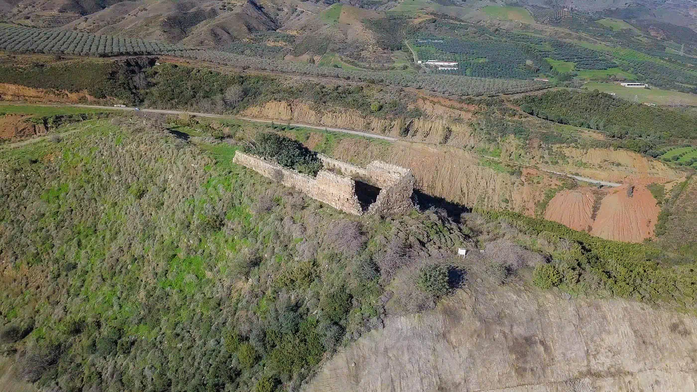
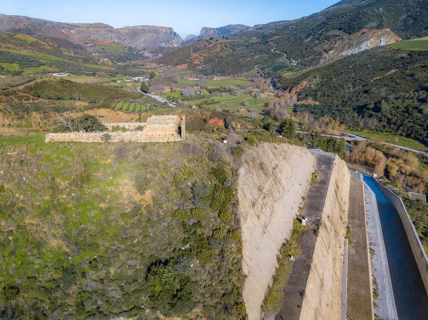
The Koules of Potamoi Dam, one of the numerous small forts built by the Ottomans in the 19th century after 1866 to maintain control over the Cretan hinterland, is located on a hill overlooking the Potamoi Dam reservoir on its western side.

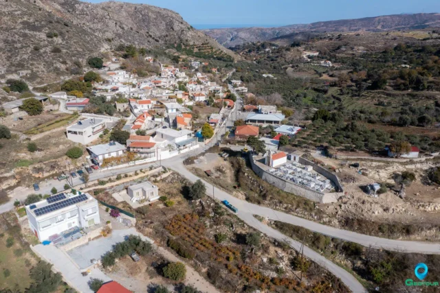
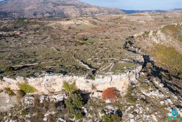
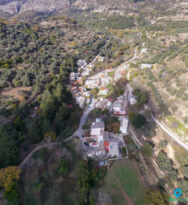
The region it is situated in, north of Patsos in the Amari Valley, served as a crucial passage to the Rethymno prefecture’s interior. The area just above was home to the most ferocious Ottomans, the Ambadiotes. The Ottomans fortified this major passage, which led to the Messara Plain through small offshoots. Within the Potamoi valley, there were Koules in the areas of Prasses, Potamoi, and Patsos.

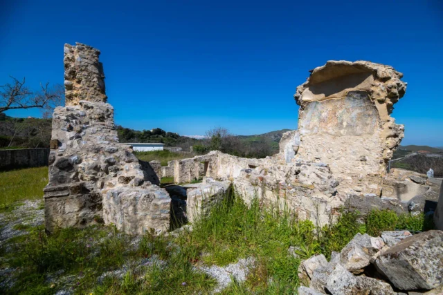
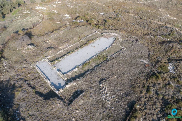
This rectangular fort, measuring 25m x 8m, still overlooks the Potamoi Dam reservoir. Although its exterior walls are partially preserved, the interior has collapsed. The Koules of Potamoi Dam has been officially designated as a preserved monument and is listed in the Permanent List of Declared Archaeological Sites and Monuments.

Key Points

  • Construction Period: 1866-1869
  • Location: West of the Potamoi Dam reservoir, Amari Valley, Rethymno, Crete
  • Dimensions: 25m x 8m
  • Historical Significance: Part of the Ottoman defense network in Crete, controlling a crucial passage to the Messara Plain.
  • Current Status: Partially preserved, listed as a preserved monument.

VR Girl

Geotour Virtual Tour

Drag the mouse to change the field of view of the virtual tour, or use a VR headset to roam to Crete in an alternative way!

You can open the tour in fullscreen by double clicking (or double tap with fingers) on it! Double click again to exit the fullscreen mode.

Nearby Listings

Filter by category (distance from Koules of Potamoi Dam) or add Koules of Potamoi Dam to the Route Planner
All Categories
Villages
Archaeological site
Beach
Environmental POIs
Fortifications
Locations, areas
Point of cultural interest
Religion POIs
Ruins
Museum
Category Icon
2.61 km SE

Voleones, Amari

Category Icon
3.55 km S

Kourkoulou Winery

Category Icon
4.01 km SE

Agios Antonios in Veni hill

Category Icon
4.06 km SE

Pantanassa, Amari

Category Icon
4.16 km S

Panagia in Patsos

Category Icon
4.18 km W

Selli, Rethymno

Category Icon
4.25 km S

Patsos, Amari

Category Icon
5.04 km W

Early Christian Basilika at Onithe

Category Icon
5.68 km W

The Acropolis of Onithe

Category Icon
5.72 km W

The Archaeological Site of Onithe

Category Icon
5.99 km W

Ancient Olive Tree in Goulediana

Category Icon
6.09 km W

Goulediana, Rethymno