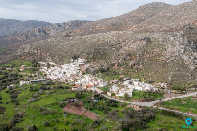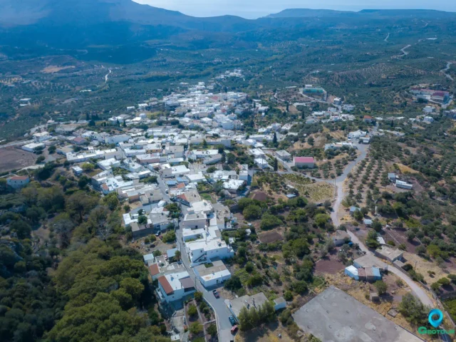
Kellaria is a small village in the region of Lasithi, in the eastern part of the island of Crete. It is located in the municipality of Sitia, at an altitude of 340 meters above sea level. As of 2021, the population of Kellaria was 4.
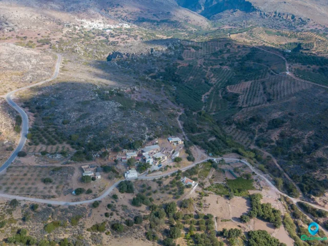
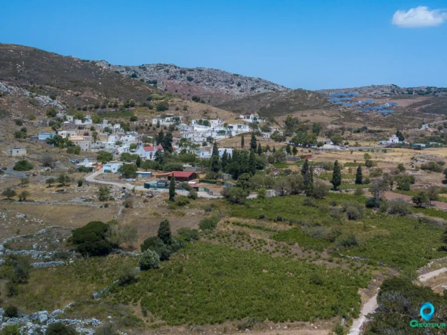
The village is situated on a mountainous terrain, surrounded by olive groves and vineyards. The area is known for its production of olive oil and wine.
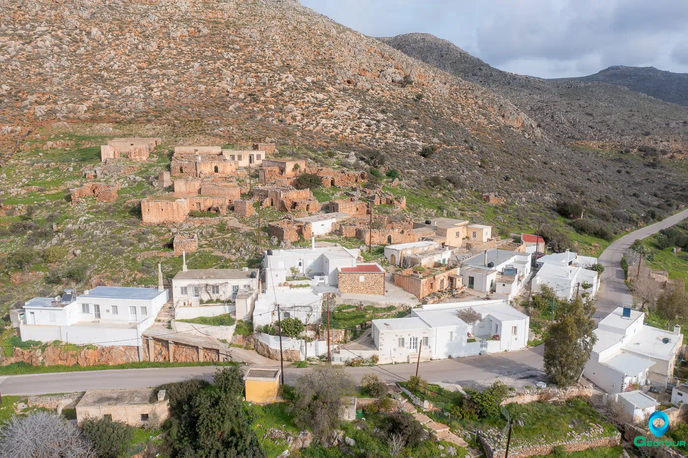
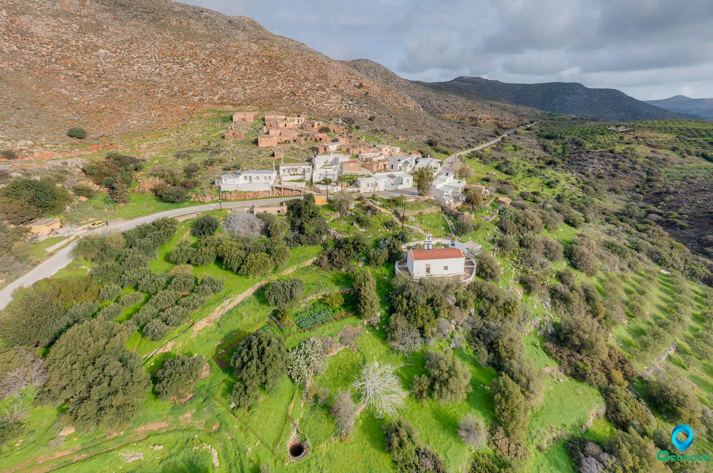
The village is divided into two parts. The lower part is inhabited, while the upper part is abandoned. The traditional character of the village is still evident in the architecture of the houses.
Kellaria has a long history. The village was first mentioned in 1583. In the past, the village was an independent municipality, but it was later incorporated into the municipality of Sitia.
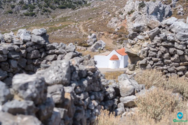
The village has a church, dedicated to Agios Georgios. There is also a cemetery in the village.
In the past, the inhabitants of Kellaria were mainly farmers and shepherds. They cultivated olive trees, grapes, and vegetables. They also raised sheep and goats.
Today, the village is a quiet place, with a few inhabitants. The main source of income for the villagers is agriculture.
The village is located near the archaeological site of Zakros, which was an important Minoan city. The village is also located near the beach of Vai, which is known for its palm forest.
Settlement: Key Points
- Location: Kellaria is situated within the municipality of Sitia, at an elevation of 340 meters.
- Historical Significance: The village once held the status of an independent municipality, but it was eventually integrated into the municipality of Sitia.
- Population Data:
Year |
Population |
Notes |
|---|---|---|
1583 |
– |
|
1881 |
100 |
100 Christians, 0 Muslims |
1900 |
115 |
|
1920 |
55 |
|
1928 |
69 |
|
1940 |
69 |
|
1951 |
59 |
|
1961 |
48 |
|
1971 |
45 |
|
1981 |
34 |
|
1991 |
25 |
|
2001 |
17 |
|
2011 |
10 |
|
2021 |
4 |
References