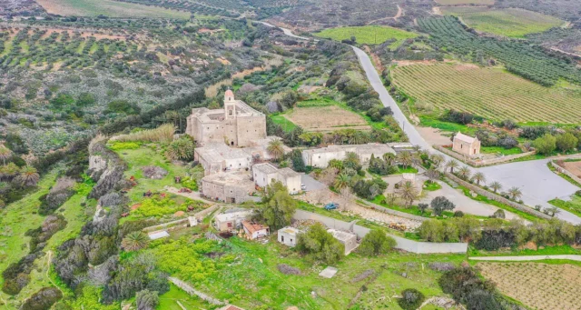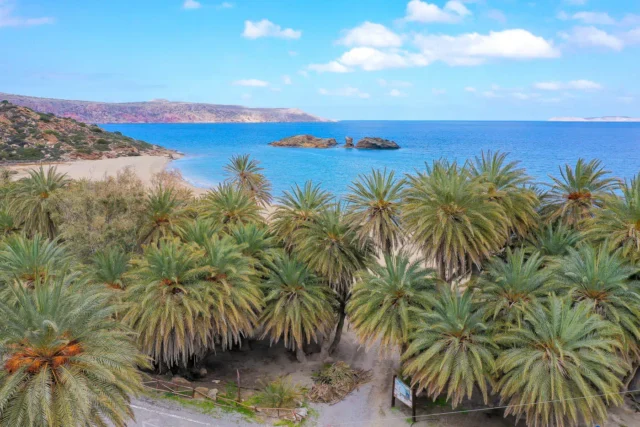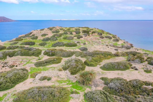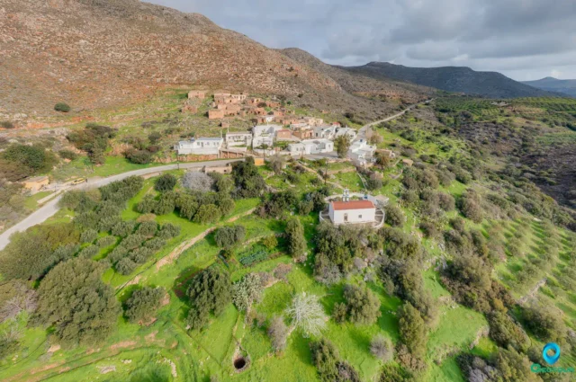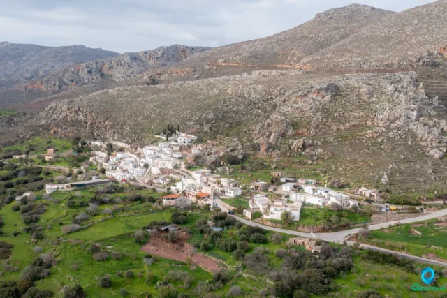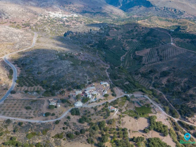
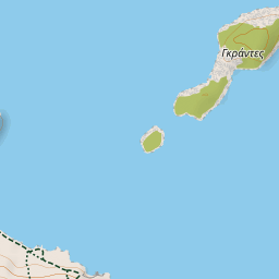
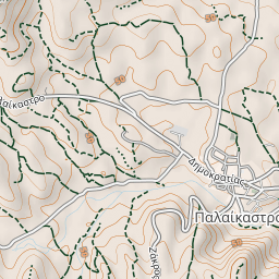
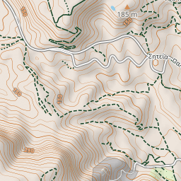


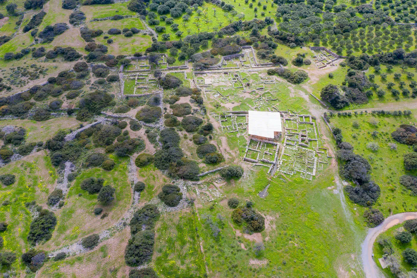
Located two kilometers from the modern village of Palaikastro, the Bronze Age settlement of Palaikastro flourished on Crete’s eastern coast. Its strategic position, with a sheltered harbor and access to a fertile plain, made it an important Minoan center for trade and agriculture. Excavations since the early 20th century have revealed a well-planned town with houses, workshops, and evidence of a vibrant social and economic life.
Early Minoan to Neopalatial Periods: A Thriving Settlement
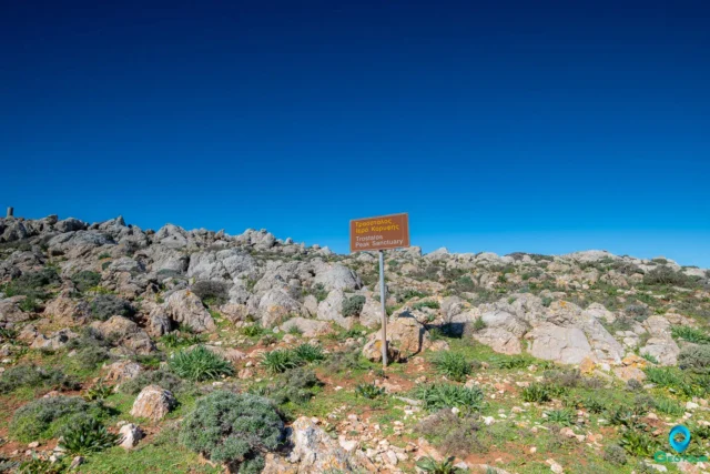
The site of Palaikastro was occupied from at least the Early Minoan II period, with evidence of permanent dwellings and communal ossuaries. During the Protopalatial period (MM IB-MM IIA), the town expanded, and large public buildings began to appear. The peak sanctuary on Petsophas, rich in artifacts and inscriptions, also dates to this period.
The Neopalatial period (MM IIIB-LM IB) saw significant growth and transformation. Following an earthquake at the end of MM IIIA, the town was rebuilt and expanded, with new houses and workshops constructed. Building 1, a large structure with ashlar masonry, possibly served as a shrine or temple.
Postpalatial Period: Resilience and Renewal
Despite widespread destruction in LM IB, Palaikastro was not abandoned. Serviceable buildings were reoccupied, and in LM IIIA2 and LM IIIB, large-scale building projects revitalized the town. However, another earthquake in LM IIIB led to partial reoccupation and eventual abandonment, marking the end of the Minoan settlement at Palaikastro.
Central Planning and Social Organization
The town’s layout, with its grid-like streets and organized blocks of houses, suggests a degree of central planning. Each block typically contained one larger house with distinct features, such as a “Palaikastro Hall” (a room with a sunken central area surrounded by pillars) and a nearby lustral basin. This pattern suggests a possible clan-based social structure.
Economic Activities and Religious Practices
Agriculture and trade formed the backbone of Palaikastro’s economy, supported by a diverse range of crafts. Weaving, metalworking, stone carving, and pottery production thrived in the town. Evidence of cult activity, including figurines, incense burners, and ritual objects, points to a rich religious life. A notable find is an ivory carving of a young male, possibly a precursor to the Diktaian Zeus.
Palaikastro: A Window into Minoan Urban Life
The archaeological site of Palaikastro offers valuable insights into Minoan urban planning, social organization, economic activities, and religious practices. Ongoing excavations continue to uncover new evidence, enriching our understanding of this important Minoan center.
Palaikastro Minoan Settlement: Key Points
- Construction Period: Early Minoan II – Late Minoan IIIB (c. 2600-1200 BC)
- Location: Eastern coast of Crete, Greece, near the modern village of Palaikastro
- Dimensions: Town area over 50,000 sq. meters
- Historical Significance: Major Minoan town with evidence of central planning, trade, and diverse craft activities
- Current Status: Active archaeological site with ongoing excavations
References