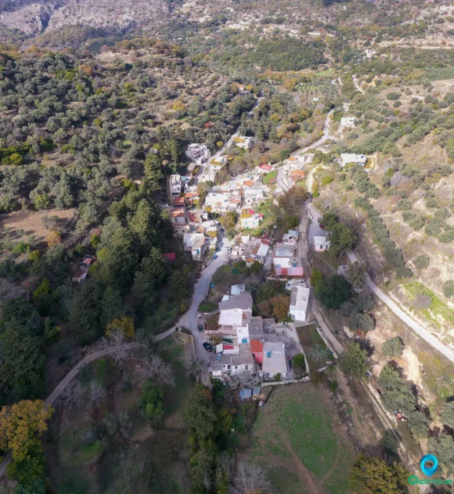
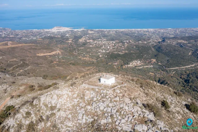
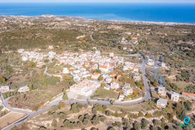
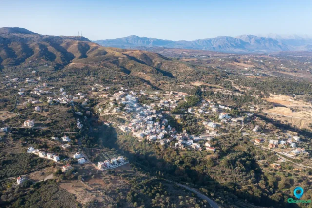
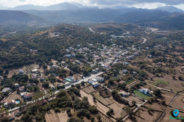
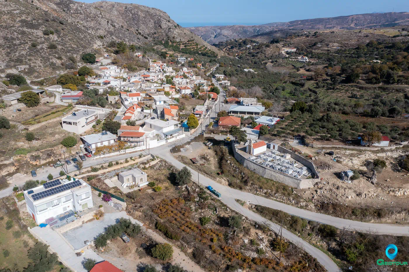
Selli (Σελί) is a village situated in the Rethymno regional unit on the island of Crete, Greece. It is located approximately 17 kilometers southeast of Rethymno town, nestled in the foothills of Mount Vrysinas at an elevation of 500 meters. The village falls under the jurisdiction of the Municipality of Rethymno.
Etymology
The name “Selli” is derived from the Byzantine word “sella,” meaning “seat” or “saddle.” In the Cretan dialect, this term signifies a mountain pass or ridge, which aptly describes the village’s location.
History
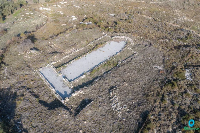
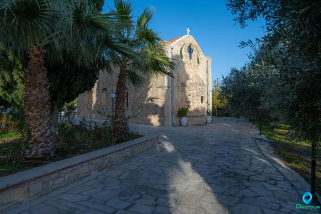
Selli’s history can be traced back to the Venetian period, as evidenced by the construction of the Church of Agios Ioannis Theologos (Saint John the Theologian) in the village cemetery, dating back to 1411. The village is mentioned in Venetian records, such as Barozzi’s 1577 description of the province of Rethymno (Celli et Acheriones), and Kastrofylakas’ 1583 census, which recorded 172 inhabitants.
During the Ottoman occupation, there is limited information available about Selli, although it is known to have been involved in the Cretan revolts against the Turks. Tradition and records of prominent revolutionaries and captains mention the village’s participation in these uprisings.
In the 19th and 20th centuries, Selli was part of different administrative divisions. In 1900, it belonged to the municipality of Vrysinas, and in 1920, it was under the rural municipality of Prasas. By 1928, Selli became the seat of its own community.
Economy
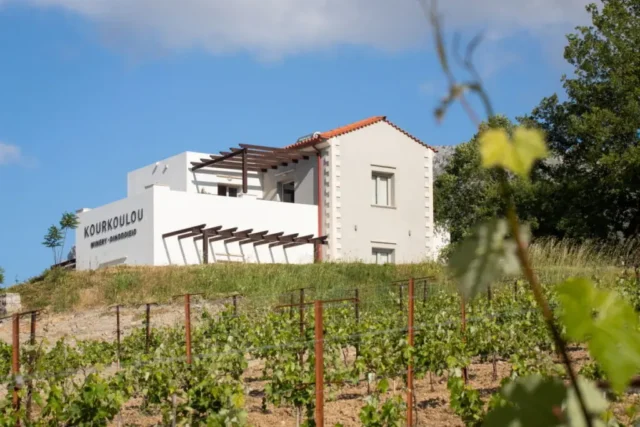
Historically, the inhabitants of Selli have relied on agriculture and livestock farming for their livelihoods. The extensive pastures on the slopes of Mount Vrysinas provide ample grazing land for livestock. The fertile lands surrounding the village are cultivated with cereals, vegetables, fruit trees, vineyards, and, notably, olive groves, which constitute a primary source of income for the area’s farmers.
Demographics
Since the mid-20th century, Selli, like many other villages in Crete, has experienced a decline in population due to migration to urban centers in Greece and abroad. This trend is reflected in the population data over the years.
Year | Population | Notes |
|---|---|---|
1583 | 172 | as Selli |
1881 | 174 | 118 Christians, 56 Muslims |
1900 | 179 | Christians |
1928 | 195 | |
1940 | 170 | |
1951 | 168 | |
1961 | 146 | |
1971 | 131 | |
1981 | 126 | |
1991 | 146 | |
2001 | 159 | |
2011 | 110 | |
2021 | 109 |
Settlement: Key Points
- Historical references: Venetian records (1577, 1583), Ottoman records (1657, 1658)
- Location: 17 kilometers southeast of Rethymno town, on the foothills of Mount Vrysinas
- Historical significance: Likely developed before 1411, participated in Cretan revolts against the Turks
- Population data: See table above
- Current status: A small village with a declining population, primarily engaged in agriculture and livestock farming