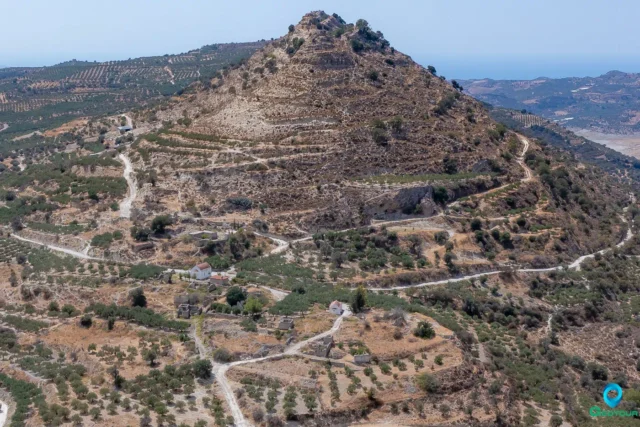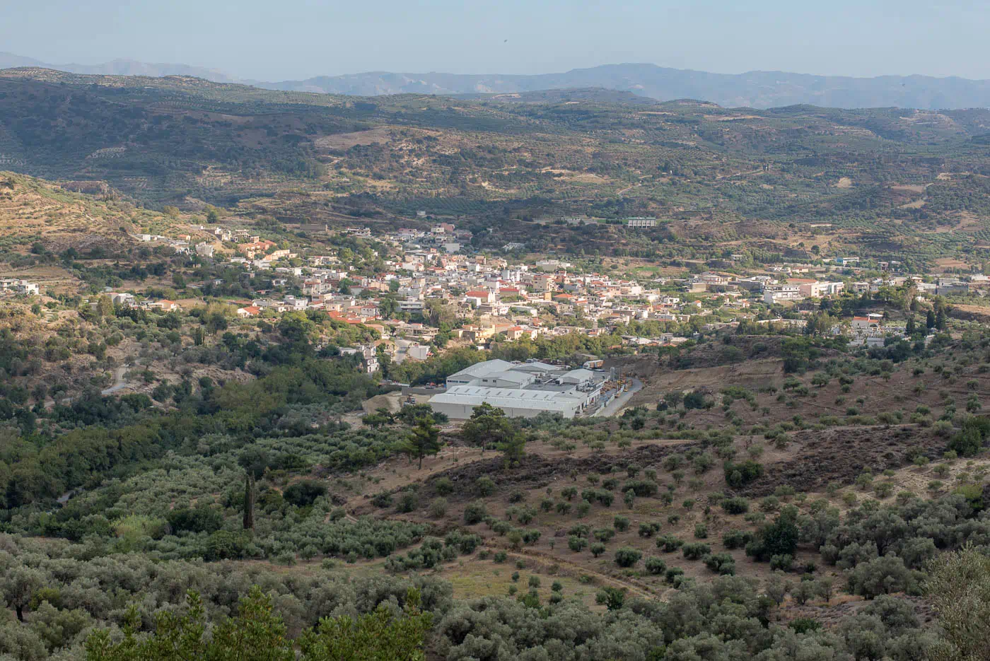
Zaros is a town and the seat of its corresponding community in the Municipality of Phaistos, located in the Heraklion regional unit on the island of Crete, Greece. It sits on the southern slopes of Mount Samari, a branch of Psiloritis, at an altitude of 340 meters. Zaros is 43 kilometers away from Heraklion and 12 kilometers from Moires. The village is well-known for its namesake bottled water, “Zaros.”
Economy and Etymology
The village’s economy relies on the production of olive oil, raisins, citrus fruits, vegetables, carobs, and livestock fodder. The name “Zaros” likely originates from the combination of the plural particle “Za” and the verb “reo” (to flow), meaning “many waters,” a reference to the abundant water sources in the area.
Points of Interest
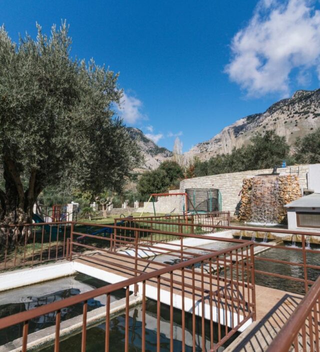
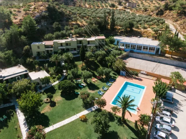
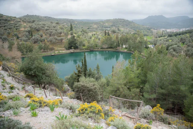
- Lake Votomos: An artificial lake located at the northern exit of the village, surrounded by a lush landscape of plane trees. It is home to a trout farm and serves as a popular recreational area.
- Gorge of Rouvas: A scenic gorge with a rich ecosystem, accessible via a trail starting from the village.
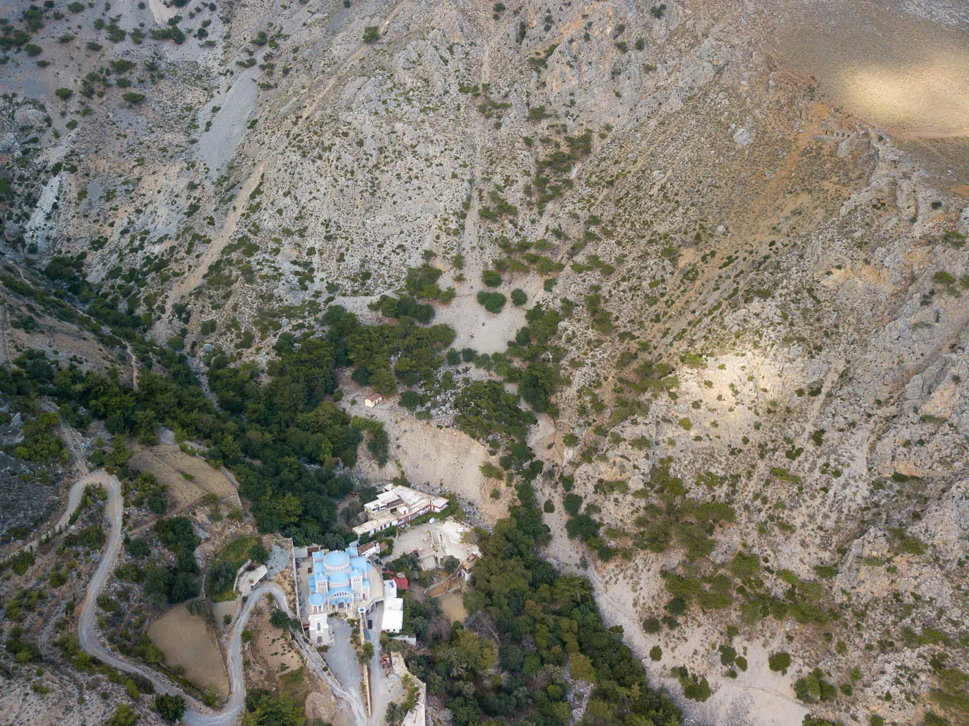
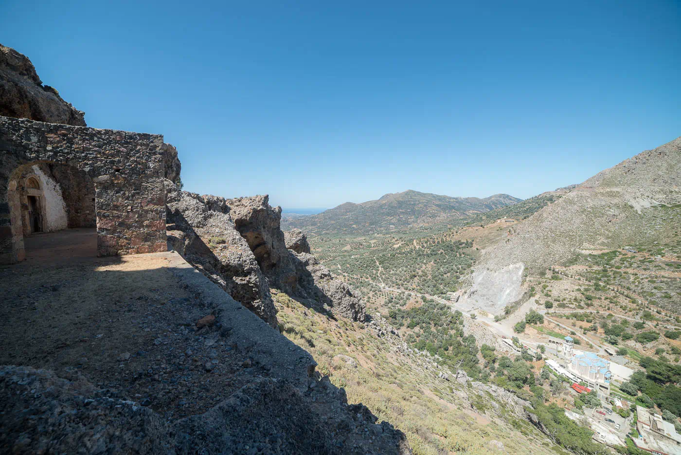
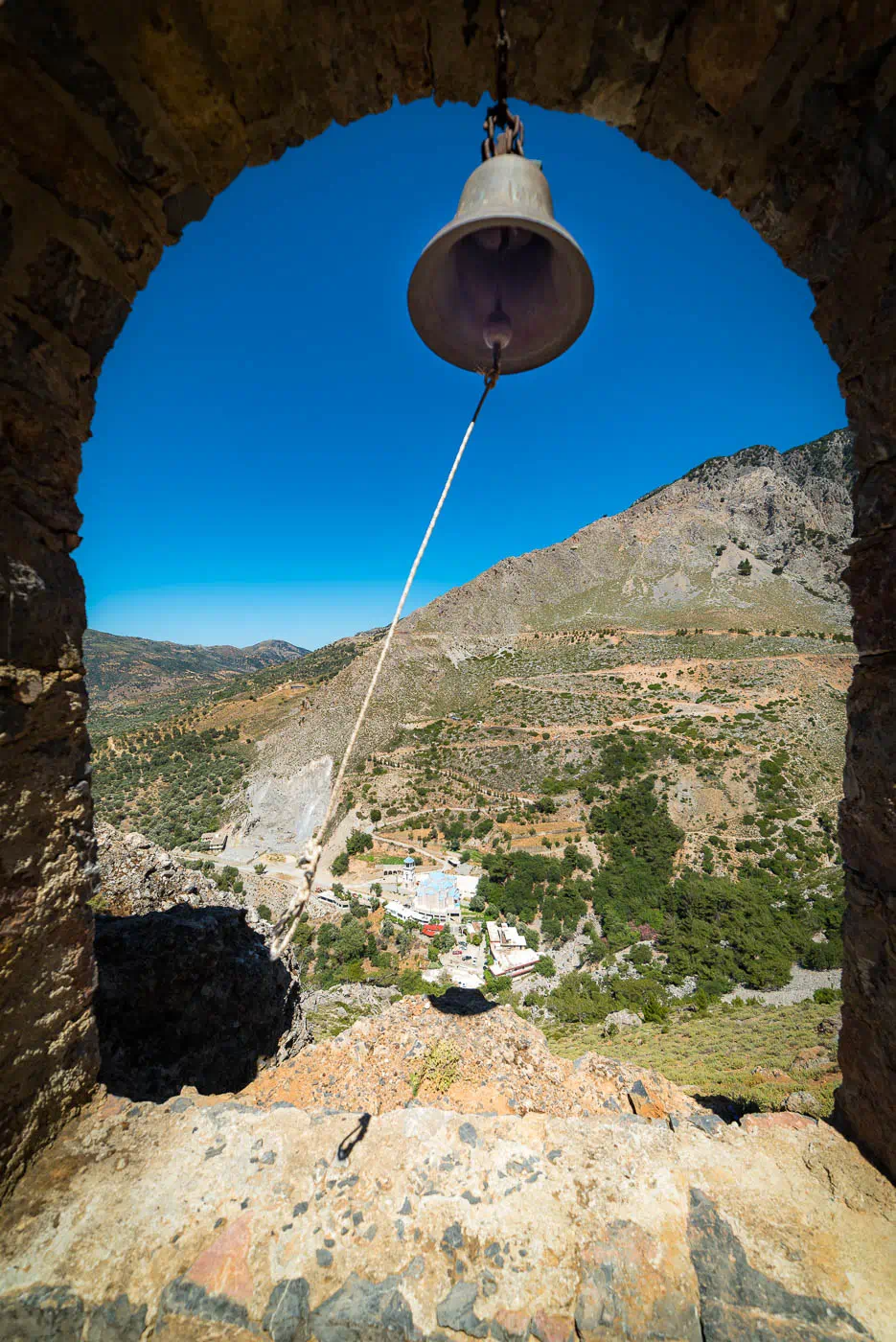
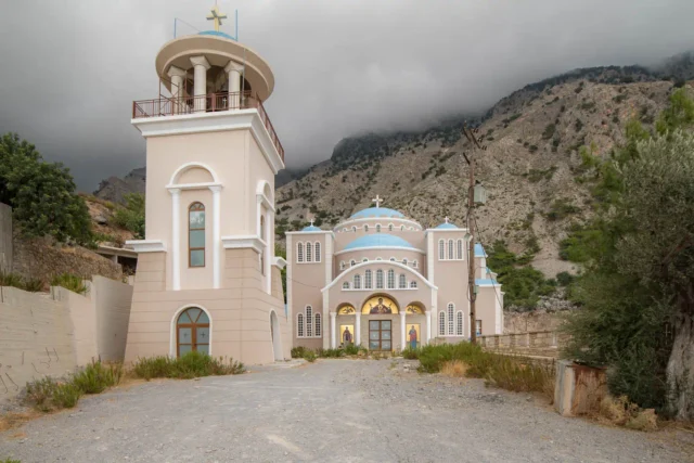
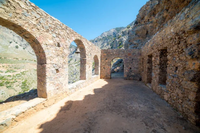
- Monastery of Vrontisi: A historic monastery located near Zaros, offering panoramic views of the Messara plain.
- Saint Nicholas Church: An old church within the village featuring well-preserved frescoes. It currently serves as a monastery for Old Calendarists.
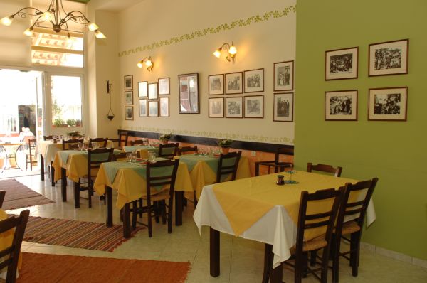
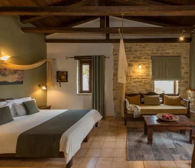
Zaros also offers amenities such as a regional medical center, a Citizens’ Service Center (KEP), a kindergarten, a primary school, a high school, guesthouses, and banks. The local football team, AO Zaros, competes in the first amateur division of the Heraklion Football Association’s local league.
History
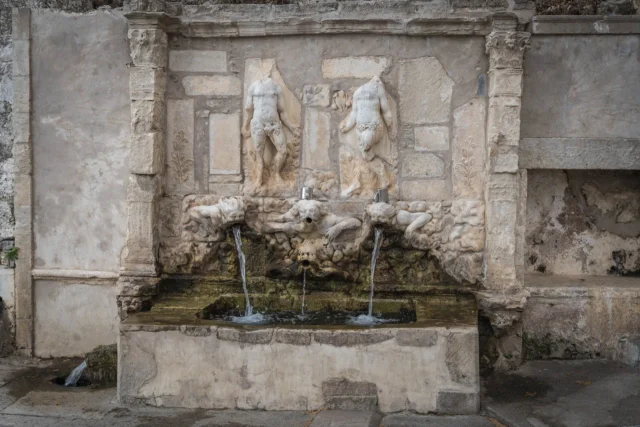
The area has a history of sophisticated water management systems dating back to ancient times. The ancient city of Gortyn was supplied with water from the Sterna spring, located north of Zaros. Remnants of the Roman aqueduct that transported the water can still be seen today.
The first written mention of Zaros appears in the 1583 Kastrofylakas census under the name “Saro,” with 266 inhabitants. The same census also mentions the settlement of Kourtes (Curtes) with 172 inhabitants. During the Ottoman occupation, Kourtes was exclusively inhabited by Turks. In the 20th century, the village operated watermills and fulling mills for processing local woolen fabrics.
Village Key Points
- Historical References: Mentioned in the 1583 Kastrofylakas census
- Location: Southern foothills of Mount Samari, Heraklion regional unit, Crete, Greece
- Dimensions: Town
- Historical Significance: Ancient water management systems, Roman aqueduct remnants
- Population data over the years:
YearPopulationNotes15832661881711608 Christians, 103 Muslims19009731920141819281136194019421388 Ano Zaros, 554 Kato Zaros1951220919612325197121351981226619912239200122152011213920211740 - Current Status: A picturesque town known for its natural beauty, bottled water, and trout farming. It also serves as a local center with various amenities and tourist facilities.