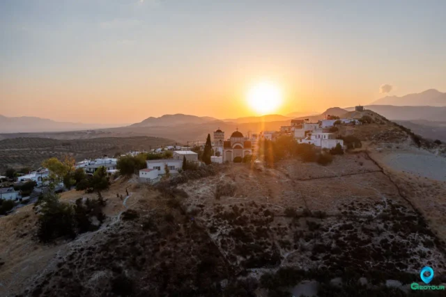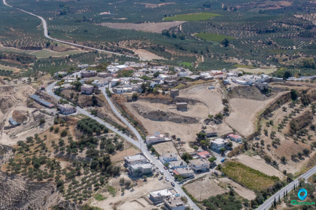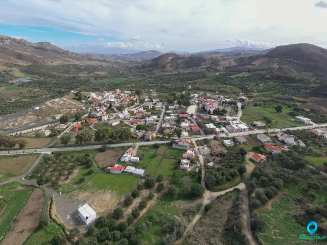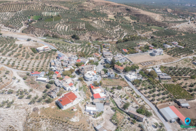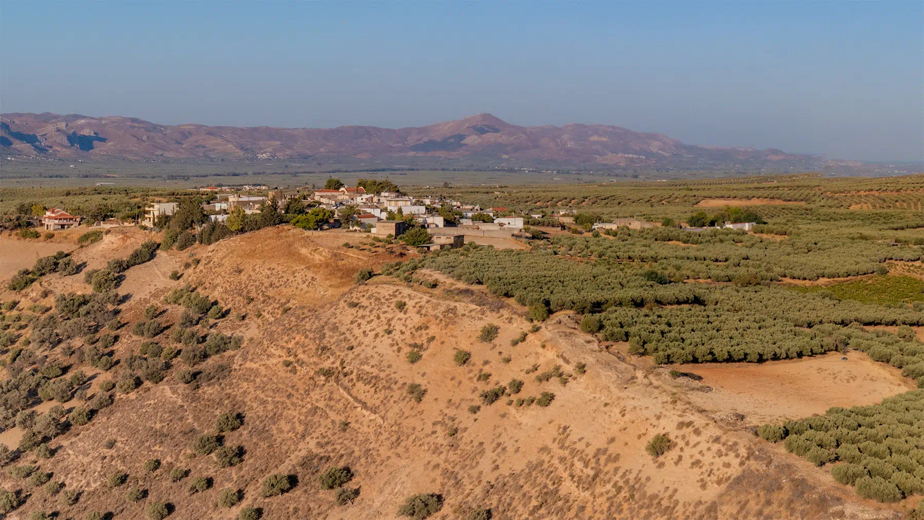
Valis, Crete
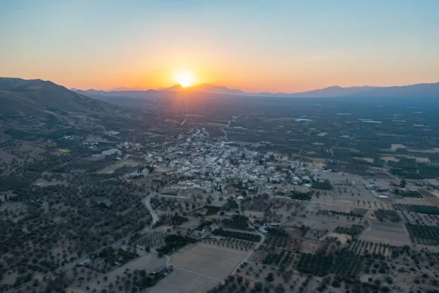
Valis is a mountain settlement in the Gortyna municipality, located in the Heraklion regional unit on Crete island, Greece. It sits on the edge of the fertile Messara plain, at an altitude of approximately 330 meters. The village is known for its agriculture and livestock production, particularly grapes, olive oil, vegetables, and dairy products. A family-owned cheese factory, established in 1952, is recognized for its myzithra cheese. Valis is part of the Gagkales community and features several churches, including Agios Dimitrios, Agios Isidoros the New Martyr, Agios Antonios, and the chapel of Zoodochos Pigi.
Historical Background
The village’s name has changed over time, from the neuter “to Vali” to the current “Valis.” Historical records indicate its existence in Venetian, Ottoman, and Egyptian censuses. During the Ottoman occupation, Valis was solely inhabited by Turks. The modern village started forming between 1896 and 1901 with the arrival of settlers from other Cretan regions. These early inhabitants mainly practiced livestock farming, with some also engaging in agriculture.
World War II and Resistance
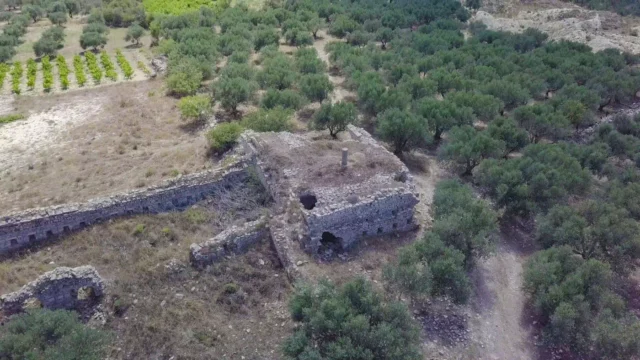
Valis played a vital role during World War II, supplying food and shelter to Allied forces and resistance fighters. The nearby Agi-Lia hill served as a base for resistance groups led by Captain Badouvas. The hilltop also has the remains of an old church, a castle, and other structures of unknown origin.
Discovery of Saint Isidoros’ Relics
In 1956, a villager named Vafos-Dimitris had a recurring dream about a priest instructing him to dig at a certain spot in the old schoolyard. The priest identified himself as “Papa-Tsiteris,” claiming he was killed by Saracens with his two children. Following the dream’s guidance, Vafos-Dimitris discovered a grave with three skeletons: one adult and two children. In honor of the martyr, the villagers built a church dedicated to “Agios Isidoros the New Martyr,” consecrated in 2003. The feast day of Saint Isidoros and his children, Eirini and Georgios, is celebrated on October 18th.
Present Day
Valis, like many Cretan villages, is experiencing a population decline. The village school has closed, and the few remaining children attend school in Gagkales. Most permanent residents are retired, and the absence of a local doctor creates difficulties for the elderly population. The remaining active farmers focus on cultivating olives, melons, grapes, and raising livestock. A cultural association, founded in the 1990s, has implemented various projects to enhance the village, including tree planting, road construction, playground development, and the creation of a war memorial and medical clinic.
Natural Environment
The area around Valis mainly comprises cultivated fields (olive groves and vineyards), with various trees and shrubs like poplars, willows, cypresses, walnut trees, pear trees, plane trees, eucalyptus, gorse, blackberry bushes, myrtle, sage, and Judas trees.
Nearby: Xerokambos
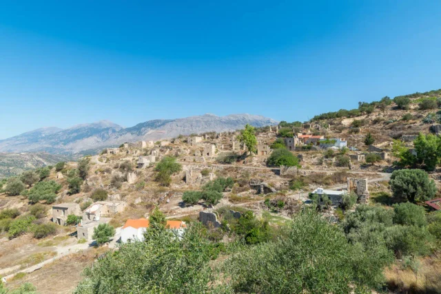
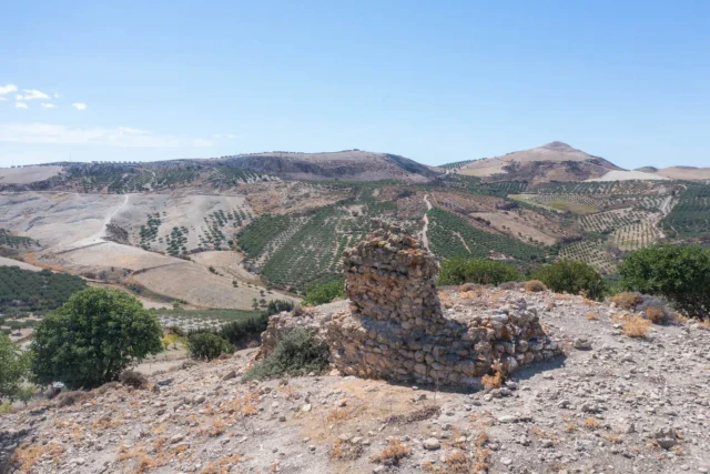
Near Valis is the abandoned village of Xerokambos, demonstrating the rural migration that happened in Crete after World War II. The remaining stone houses showcase traditional Cretan architecture. Northwest of Xerokambos, the hill of Profitis Ilias rises to 491 meters, forming the border between Valis and Megali Vrysi. The hilltop provides views of the Messara plain and was once the location of a Minoan peak sanctuary, now looted by treasure hunters.
Settlement: Key Points
- Historical References: Venetian Census (1583), Ottoman Census (1671), Egyptian Census (1834)
- Location: Messara Plain, Crete, Greece
- Historical Significance: Resistance center during the Nazi occupation
- Population Data: See table below
- Current Status: Active village with declining population
Population
Year |
Population |
|---|---|
1583 |
85 |
1900 |
25 |
1920 |
75 |
2021 |
161 |