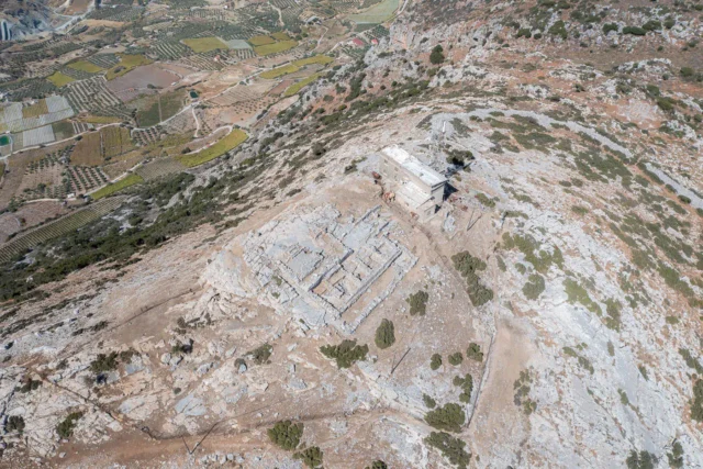
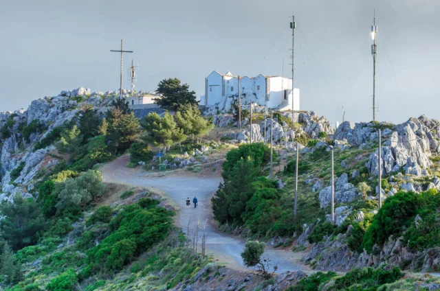
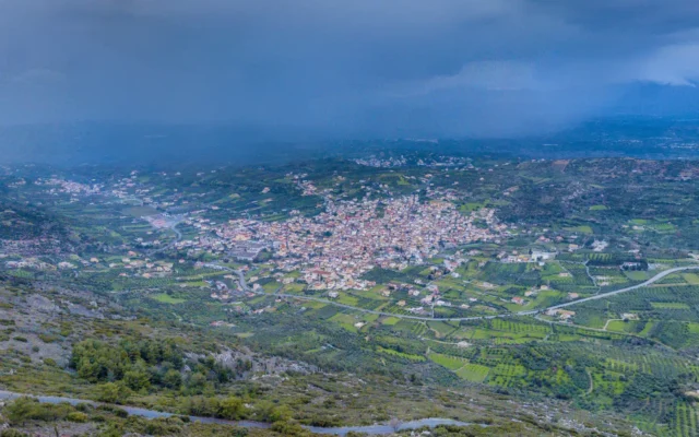
Vasileies (officially: αι Βασιλείαι), also spelled Vasilies, is a village in the Municipality of Heraklion, Heraklion regional unit, Crete, Greece. It is located at an altitude of 300 meters on the northern slopes of Mount Giouchtas, overlooking the Cretan Sea and offering views of Mount Psiloritis.
Vasileies is the seat of a community that also includes the villages of Agios Vlasios and Silamos. The area has traditionally been agricultural, with residents engaged in viticulture (grape cultivation) and olive growing. However, in recent decades, Vasileies has experienced urban development as people from Heraklion city have moved to the area, drawn by its scenic location and proximity to the city.
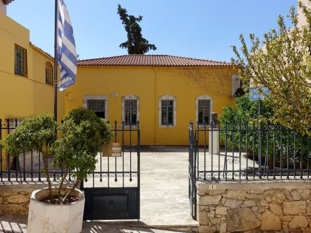
The village has a primary school and a kindergarten. Agios Vlasios also has a kindergarten.
History
The village is mentioned in a 1271 contract under the name “Vaxilee,” where it was leased by the feudal lord Andree de Rucero to Filippus Bellono. In the 1583 census of Castrophylacas, it is recorded as “Vasigliés” with 61 inhabitants. The name also appears in the 1630 census by Basilicata.
The settlements of Agios Vlasios and Silamos are also mentioned in historical records. Agios Vlasios appears as “S. Biaseo” with 221 inhabitants in the 1583 census, and Silamos is listed in the “Catasticum Ecclesiarum et Monasteriorum Comunis” (Register of Churches and Monasteries of the Commune) of 1320 as “Silamo Catto” with 86 inhabitants and “Silamo Apano” with 69 inhabitants.
Origin of the Name
The origin of the name Vasileies is uncertain. One possibility is that it is derived from the Greek word “basileus,” meaning “king” or “ruler.” This could suggest that the village was once a royal estate or that it was founded by someone of importance. Another possibility is that the name is related to the Greek word “vasilikos,” meaning “royal” or “splendid,” perhaps referring to the beauty of the area.
Present Day
Vasileies is a growing community with a mix of agricultural and residential areas. It is increasingly popular as a place to live due to its proximity to Heraklion city and its attractive natural setting.
Village Key Points
- Historical References:
- 1271 contract as “Vaxilee.”
- 1583 census of Castrophylacas as “Vasigliés” with 61 inhabitants.
- 1630 census by Basilicata as “Vasigliés.”
- Location: Municipality of Heraklion, Heraklion regional unit, Crete, Greece. On the northern slopes of Mount Giouchtas.
- Altitude: 300 meters
- Historical Significance: Mentioned in Venetian-era documents.
- Population:
Year |
Population |
|---|---|
1583 |
61 |
1991 |
327 |
2001 |
800 |
2011 |
1662 |
2021 |
1656 |
- Current Status: Active village experiencing urban development, mixed agricultural and residential character.