About This Location

Zakathos, a now-abandoned village in Lasithi, Crete, has a history rooted in pre-Hellenic times. During the Ottoman era, it was a Turkish village, with inhabitants converting to Islam. Later, it functioned as a metochi (farm) associated with Katelionas, as documented in the 1583 census. The village, situated in the Sitanos region, had a Muslim population of 103 in 1881. The abandoned settlement, divided into Upper and Lower Zakathos, is now utilized by residents of Ziros and Zakros. A notable Ottoman-era fountain graces the nearby "Vrysi" spring in Sitanos.

Loading map...

Weather Forecast

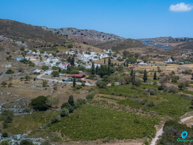
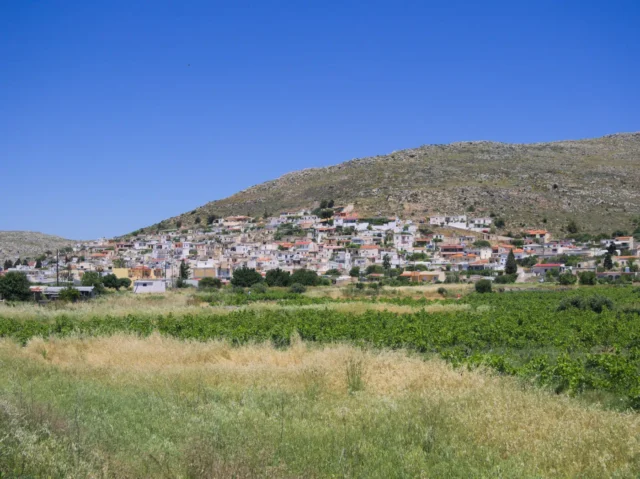
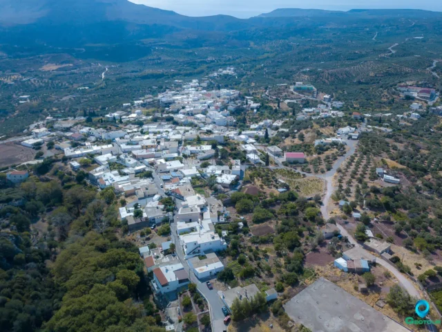
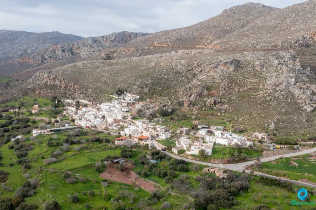
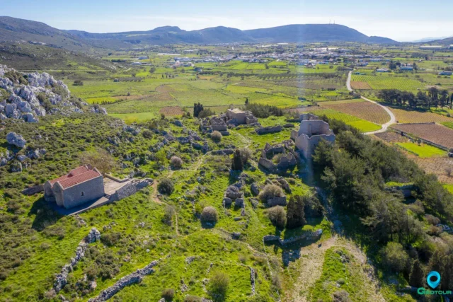
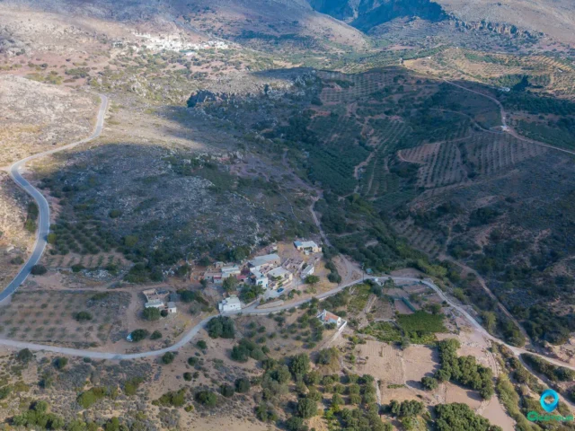
Zakathos is a village in the regional unit of Lasithi on the island of Crete, Greece. The name Zakathos is of pre-Hellenic origin. The village is located in the region of Sitanos. Zakathos was a Turkish village. Tradition says that there was a settlement before the Turkish occupation, but when the Ottomans came, all the inhabitants converted to Islam, even the priest. When the last Muslims left Crete, the village was deserted. The abandoned settlement, which today is used as a metochi (farm) by residents of Ziros and Zakros, is divided into Upper and Lower Zakathos.

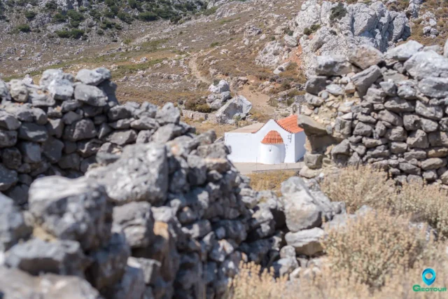
A fountain of exceptional beauty, with Ottoman architecture, is located at the edge of the village of Sitanos, in a place called “Vrysi” (Spring).

According to the 1583 census, Zakathos was a metochi of the village of Katelionas. In 1881, Zakathos had 103 Muslim inhabitants.

Settlement: Key Points

  • Historical References: In 1583, Zakathos was a metochi of the village of Katelionas.
  • Location: Zakathos is located in the region of Sitanos in the regional unit of Lasithi, Crete, Greece.
  • Historical Significance: Zakathos was a Turkish village.
  • Population Data:
Year
Population
Notes
1583
part of Katelionas
1881
103
0 Christians, 103 Muslims
  • Current Status: The village is now abandoned.

Nearby Listings

Filter by category (distance from Zakathos, Siteia) or add Zakathos, Siteia to the Route Planner
All Categories
Villages
Archaeological site
Beach
Environmental POIs
Fortifications
Locations, areas
Point of cultural interest
Religion POIs
Ruins
Museum
Category Icon
1.92 km NW

Sitanos, Siteia

Category Icon
2.04 km E

Skalia, Siteia

Category Icon
3.36 km N

Karydi, Siteia

Category Icon
3.87 km SW

Ziros, Siteia

Category Icon
4.38 km NW

Katsidoni, Siteia

Category Icon
5.14 km E

Zakros, Siteia

Category Icon
5.58 km NE

Adravastoi, Siteia

Category Icon
5.60 km S

Chamaitoulo, Siteia

Category Icon
5.67 km W

Voila abandoned village

Category Icon
5.84 km E

Klisidi, Siteia

Category Icon
6.48 km SW

Chandras, Siteia

Category Icon
6.59 km S

Kalo Chorio, Siteia