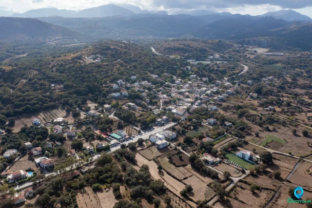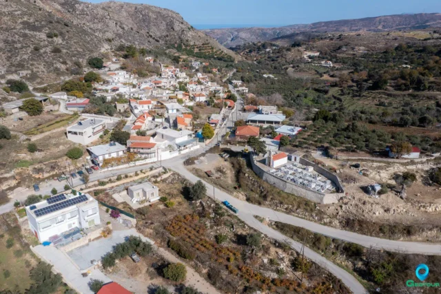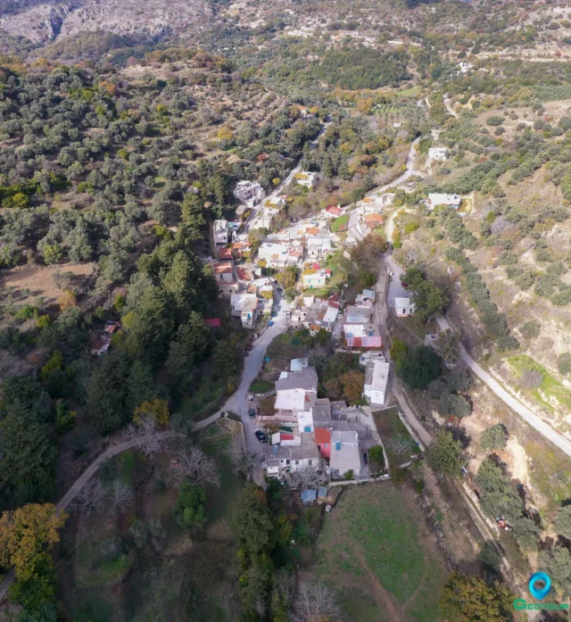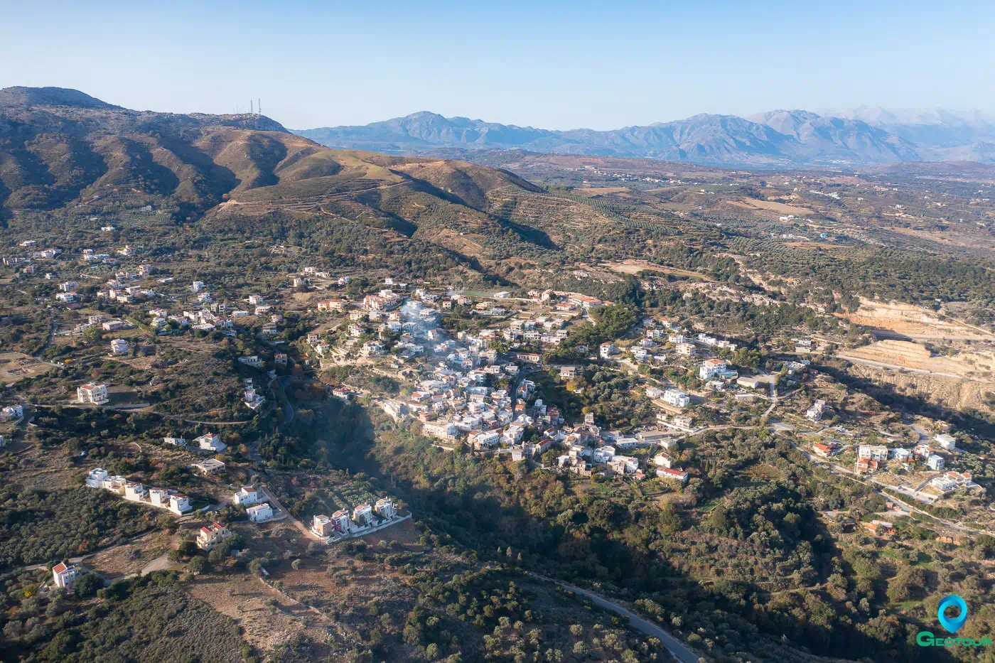
Location and Geography
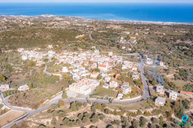
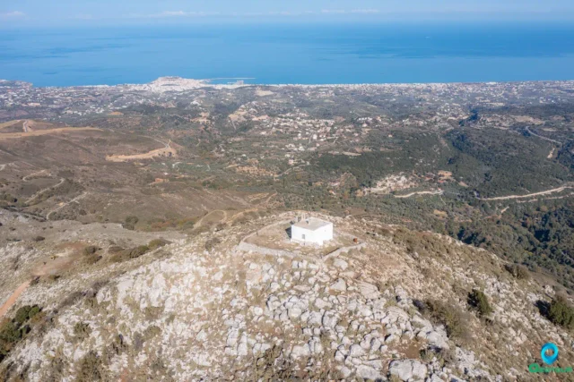
Roussospiti is a village located in the Rethymno regional unit on the island of Crete, Greece. It lies approximately 9 kilometers southeast of Rethymno town at an altitude of 300 meters. The village is situated on the slopes of Mount Vrysinas, overlooking the Cretan Sea. This location provides Roussospiti with panoramic views of the surrounding landscape, earning it the nickname “the balcony of Rethymno”.
Origin of the Name
The name “Roussospiti” is believed to have originated from one of two possible sources. The first version suggests that during the Venetian period, a distinctive “rousso” (red) house was built in the village, giving it its unique name. The second version proposes that a Russian woman constructed a house in the village, and the name “Roussospiti” (Russian’s house) stemmed from this event.
History
Roussospiti was founded around the 12th century during the Venetian rule of Crete. Evidence of this period can be seen in the Venetian architectural features present in the village, such as arches, doorways, and fountains.
The village was later under Ottoman rule, during which time it was mainly inhabited by Ottoman Agas (landlords) and a small number of Christians.
Roussospiti played a role in the Cretan revolts against the Ottomans. In 1822, a battle took place in the nearby area of “Petalo”, where the Ottomans defeated the Cretan rebels and captured the French philhellene, Valestra. During the 1866 revolt, another battle occurred in the region, led by Papa-Maroulianos and Diogenis Moschovitis. The village was burned down by the Ottomans in both 1866 and 1896, forcing the inhabitants to abandon their homes temporarily.
Landmarks and Monuments
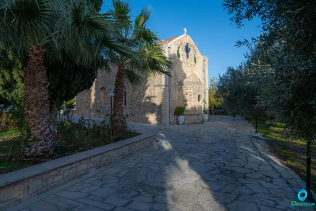
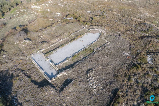
- Church of the Entrance of the Theotokos: This small single-aisled church dates back to the early 14th century. It features well-preserved frescoes, including a notable depiction of the Crucifixion. The church also houses remnants of a monument or tomb.
- Venetian Fountain: This 17th-century fountain is considered a notable landmark in Roussospiti. It features a semi-circular niche with pairs of small columns and a lion-head spout.
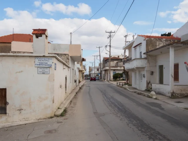
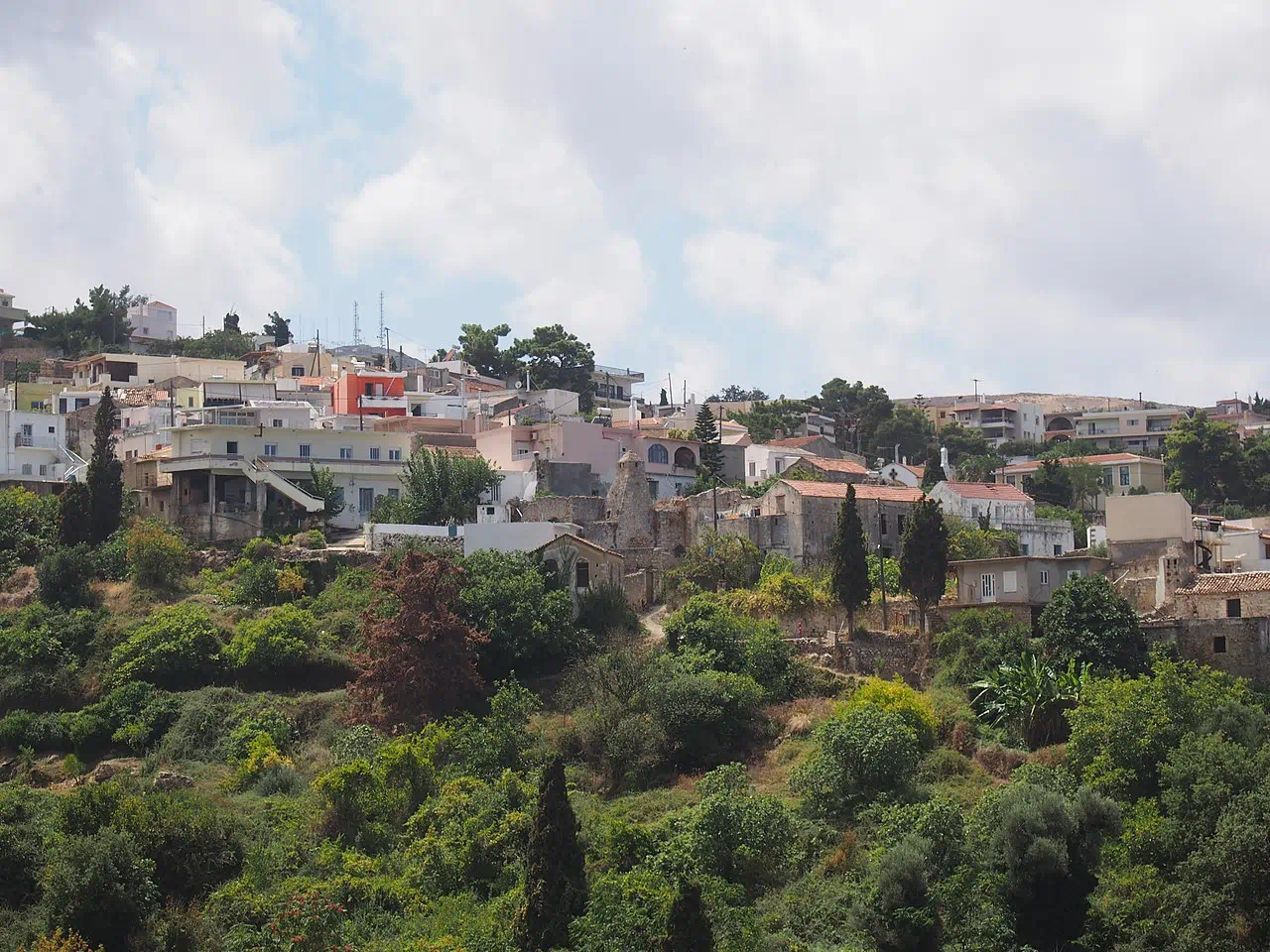
- Traditional Houses: Roussospiti retains several Venetian-era houses, showcasing the village’s historical architecture. One notable example is a three-story house next to the Church of the Entrance of the Theotokos, featuring a vaulted ground-floor passage.
- Cave of Lygeri: Located south of the village, this cave is named after a legendary woman. According to one version of the story, Lygeri was a brave woman who was captured by the Ottomans and sold into slavery. The cave served as a hiding place for villagers during times of conflict.
Daily Life and Ethnography
Roussospiti comprises the old village and a newer expansion area. The old village includes the neighborhoods of Pano Rouga, Kato Rouga, and Mesochori, built up to the edge of the gorge. The newer area consists of neighborhoods like Koprana, Nekrotafeiou, and Chalikia.
The village holds festivals (panigiria) to celebrate religious occasions such as the feast of Agia Paraskevi (July 26th) and the Holy Spirit (a movable feast).
Population
Year |
Population |
Notes |
|---|---|---|
1583 |
157 |
|
1881 |
240 |
184 Christians, 56 Muslims |
1900 |
221 |
177 Christians, 44 Muslims |
1913 |
372 |
|
1920 |
400 |
|
1928 |
358 |
|
1940 |
358 |
|
1951 |
353 |
|
1961 |
272 |
|
1971 |
195 |
|
1981 |
174 |
|
1991 |
257 |
|
2001 |
374 |
|
2011 |
569 |
|
2021 |
536 |
Settlement: Key Points
- Historical References: First mentioned in 1577.
- Location: 9 kilometers southeast of Rethymno town, on the slopes of Mount Vrysinas.
- Historical Significance: Founded during Venetian rule, with visible Venetian architecture. Played a part in Cretan revolts against Ottoman rule.
- Population Data: See table above.
- Current Status: A village with a growing population, retaining its traditional character while developing newer residential areas.
References