A Village at the Edge of Crete
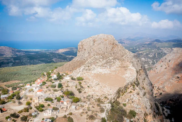
Rodopos is a village located on the Rodopos Peninsula in the Platanias municipality of the Chania regional unit, Crete. It sits at an altitude of 237 meters and is known for its traditional architecture, scenic landscape, and proximity to remote beaches and historical sites.
Historical Overview
The Rodopos Peninsula has a history dating back to ancient times, with evidence of Minoan settlements in the area. The village of Rodopos likely developed during the Venetian period, as indicated by the Venetian architectural influences in its buildings. During the Ottoman era, Rodopos was a mixed village with both Christian and Muslim residents.
In the 1834 census, 99 families were recorded in Rodopos, of which 96 were Christian and 3 were Muslim. The village has remained relatively small throughout its history, with a population of 505 in 1991.
Population Data
Year |
Population |
|---|---|
1991 |
505 |
2001 |
424 |
2011 |
337 |
2021 |
322 |
Points of Interest
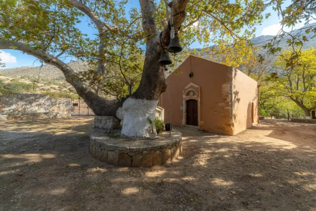
- Traditional Architecture: The houses in Rodopos exhibit traditional Cretan architecture with Venetian influences. A notable example is the “Venetian Mansion.”
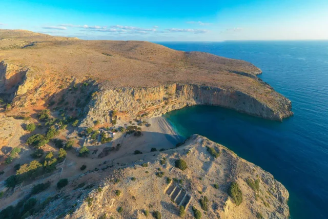
- Diktynna Beach: A secluded beach with pebbles and deep blue waters, located at the exit of the Fountas Gorge. It is accessible by a 23-kilometer dirt road from Rodopos.
- Monastery of Agios Ioannis Gionis: A monastery dedicated to Saint John the Hermit, reachable by a shorter road from Rodopos.
- Natura 2000 Site: The northern part of the Rodopos Peninsula is a protected Natura 2000 site, known for its biodiversity and natural beauty.
- Village Amenities: The village has a two-room primary school, a kindergarten, a tavern, cafes, grocery stores, a bakery, and a cultural association.
Village Key Points
- Historical References: The village likely developed during the Venetian period.
- Location: Chania regional unit, Crete, Greece. On the Rodopos Peninsula, 32 km from Chania town.
- Altitude: 237 meters above sea level.
- Historical Significance: The area has a long history, with evidence of settlements from the Minoan period.
- Current Status: A quiet village with a traditional character and access to remote beaches and natural areas.