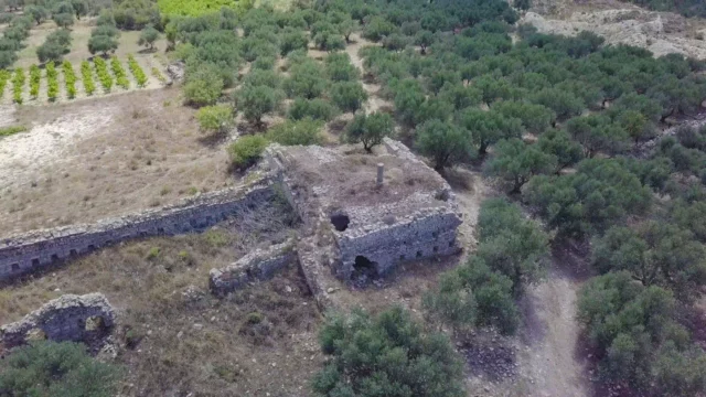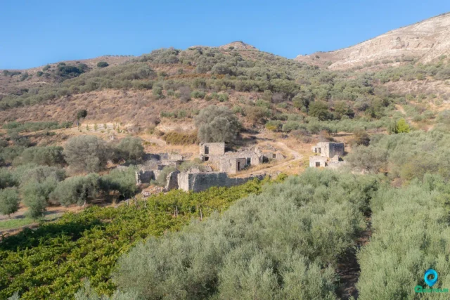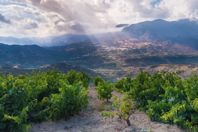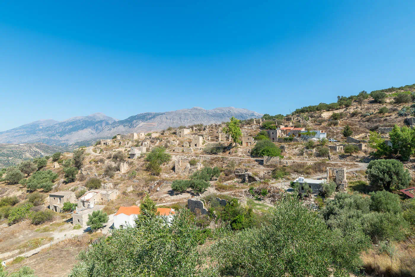
Raptis is an abandoned settlement located southeast of Gergeri, near the Heraklion-Moires provincial road in Crete, Greece. It is situated in a picturesque location east of the Lithaios River, overlooking the Messara plain. A notable feature above the settlement is the “koules,” a Turkish military observation post.
The village has been uninhabited since the early 1960s. According to accounts from former residents, the village was built either by the Venetians or the Turks. However, a 1414 document indicates that Raptis was a Venetian village, jointly owned by Nikolaos Dandulo and Andreas Kalikas.
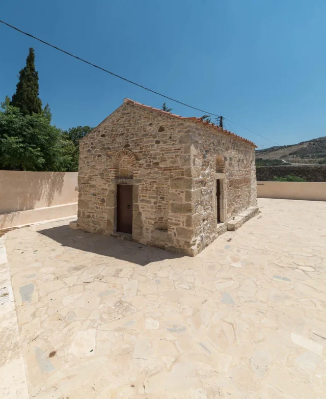
The village’s architecture reflects a traditional way of life, with houses constructed using local natural materials like fieldstones. Time seems to have stood still in Raptis for the past 60 years, with the settlement remaining largely untouched. In this sense, the village serves as a link to a bygone era.
Possible Restoration and Future Use
There have been suggestions that restoring the buildings to accommodate visitors, combined with offering traditional Cretan cuisine, could revitalize this abandoned settlement.
Historical Context
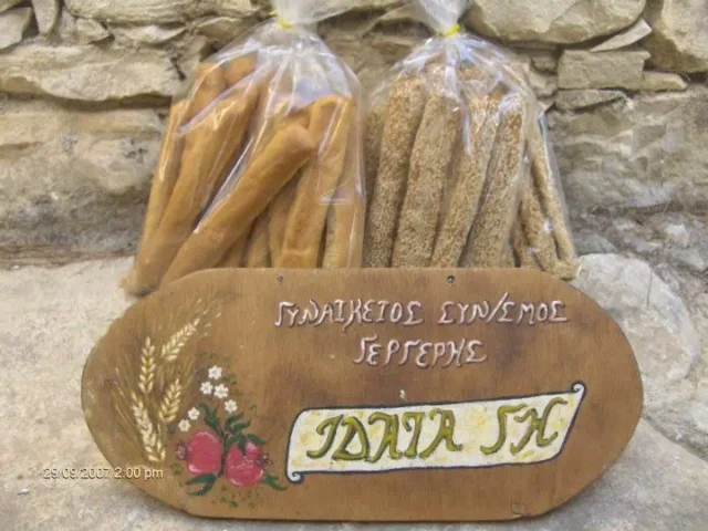
While the exact origins of Raptis remain somewhat unclear, the 1414 document provides evidence of its existence during the Venetian period in Crete (1204-1669). The “koules” above the village points to its strategic significance during the Ottoman period (1669-1898), serving as an observation point for military purposes. During its peak, Raptis was a prosperous village, exporting grain and cheese as far as Italy. However, the village was abandoned in the 1960s, and the reasons for this mass departure remain unknown.
Key Points
- Location: Southeast of Gergeri, near the Heraklion-Moires provincial road, Crete, Greece.
- Historical Significance: Existed during Venetian and Ottoman periods, potentially a prosperous village involved in trade.
- Current Status: Abandoned since the 1960s, buildings remain largely intact.