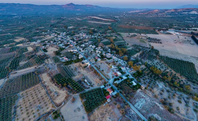
Plora is a village and the seat of the homonymous community of the Municipality of Gortyna in the Regional Unit of Heraklion, Crete. It belonged to the Province of Kainourgiou. It is located on the northern foothills of Asterousia at an altitude of 180 meters, 53 kilometers towards Lenta.
History
The name is probably the same as the ancient city of Pyloros, the ruins of which are west of the village. In 1583 it is mentioned with 167 inhabitants.
Economy
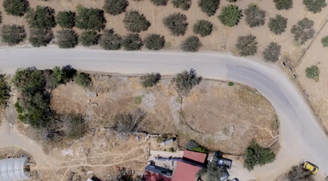
The inhabitants are engaged in agriculture and mainly in olive growing. There are huge olive trees in the village area and the oil is the basic product. After the construction of an irrigation dam on the Plorianos River, the cultivation of citrus fruits was secured.
Religion
In Plora there are the temples of Despotis Christos and the Annunciation. There are also the chapels of Agios Antonios, Agios Georgios o Kalamiaris, old frescoed and Agios Panteleimon.
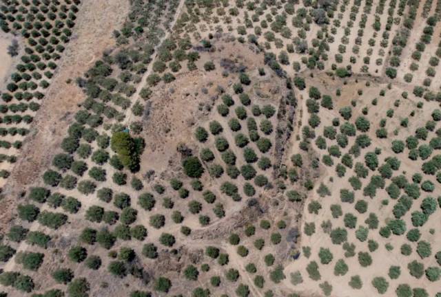
Ancient Quarries
According to the late naturalist Stergios Spanakis, (Pendlebury, Journeys, BSA, XXIII 88) ancient Pyloros is located in Plora and the stones from the quarry at the location “Voukolia” were used to build the palace of Phaistos. The “Voukolia” are located on the northwestern foothills of Asterousia, between the villages of Plora and Apesokari at an altitude of 180 meters. It is one of the largest ancient quarries in Crete and covers a significant area. There are three mining operations in the area. It is an extensive mining area with traces of carvings with timeless use.
Settlement: Key Points
- Historical References: The name of the village is probably the same as the ancient city of Pyloros, the ruins of which are west of the village.
- Location: Located on the northern foothills of Asterousia at an altitude of 180 meters.
- Historical Significance: The first reference to Plora is in 1583, where it is recorded that it was inhabited by 167 people. The stones from the quarry at the location “Voukolia” were used to build the palace of Phaistos.
- Population Data:
Year |
Population |
Notes |
|---|---|---|
1583 |
167 |
|
1881 |
230 |
219 Christians, 11 Muslims |
1900 |
311 |
|
1920 |
342 |
|
1928 |
369 |
|
1940 |
415 |
|
1951 |
411 |
|
1961 |
424 |
|
1971 |
382 |
|
1981 |
341 |
|
1991 |
271 |
|
2001 |
271 |
|
2011 |
217 |
|
2021 |
194 |
- Current Status: Plora is a village in the Municipality of Gortyna, with most of its inhabitants engaged in agriculture and mainly olive growing.
References