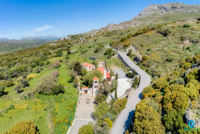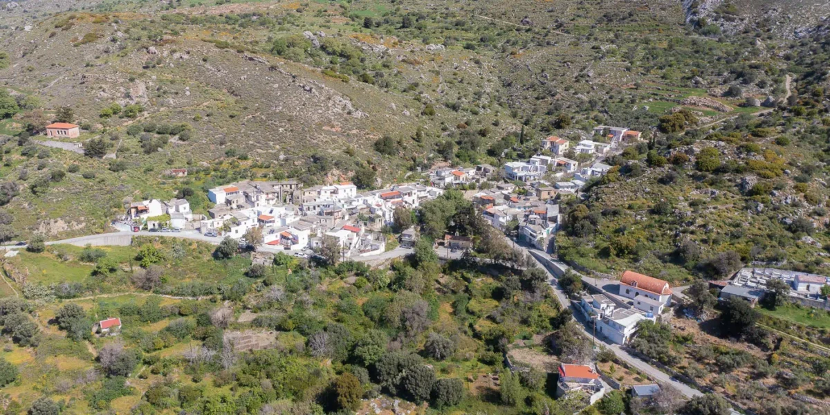
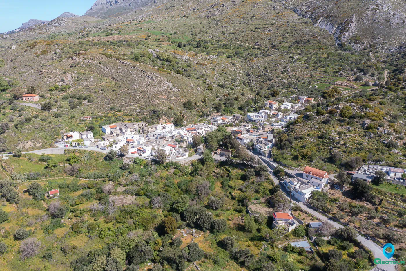
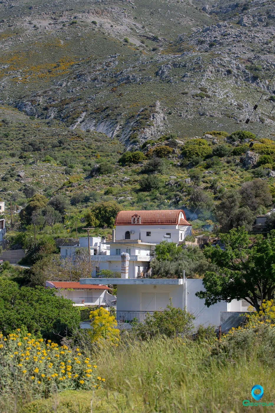
Platanes is a settlement within the Community of Kentrochori in the Municipality of Agios Vasileiou, part of the Regional Unit of Rethymno in Crete. It is situated on the southern foothills of Mount Kentros, also known as Kedros, at an altitude of 537 meters. The settlement is located 38 kilometers from the city of Rethymno.
The name of the village is believed to be derived from the plane tree (platanos), which is abundant in many areas of Crete.
Historical Information
Platanes is documented in all known censuses from the late Venetian period in Crete (16th and 17th centuries). It was recorded in the Barozzi census of 1577 and by Kastofylakas in 1583 and 1659, the latter of which noted it had 30 houses, signifying families.
Under the “Kapodistrias” plan for the administrative division of Greece, Platanes was part of the Local District of Kentrochori, within the former Municipality of Lampi in the prefecture of Rethymno, until 2010.
It has been noted that the village has produced a significant number of professionals in various sciences, particularly in different medical specialties, a high ratio relative to its population.
Points of Interest
Church of the Holy Cross
Located within the village, the Church of the Holy Cross (Timios Stavros) dates to approximately the 13th century AD. Its exterior architecture is indicative of the Venetian era. The eastern part of the church contains frescoes, though they are not in good condition, while the western section appears to be a later addition. The iconostasis features icons created by Konstantinos Parthenakis. A large portion of it is covered by older icons of the Pantokrator and the Zoodochos Pigi (Life-giving Spring), which have been conserved and are kept on-site. For many centuries, this was the parish church of the settlement. The current parish church is that of Agios Nektarios, constructed in recent decades.
Apano Platanes
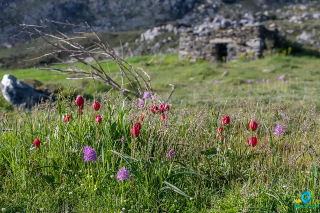
To the north of the village, at an approximate altitude of 850 meters, is a location known as Apano Platanes. Reached by a hike of about 1.5 hours, this area is a recess shaped like a gorge with no northern exit.
Mount Kentros is part of the Europe-wide Natura 2000 network and is known for its numerous water sources. An old tradition, first recorded in writing by Marinos Tzane Bounialis in his work THE CRETAN WAR 1645-1669, states:
“Kentros, which had a hundred springs around it,
happened to be called Paradise,
and the Agarene (Turk) stepped on it and the places are his,
the mountains and all the villages, for his amusement….”
During winter and spring, the mountain’s abundant water flows down its slopes, forming natural waterfalls. This phenomenon is observable in many spots at Apano Platanes. The area also contains remnants of Crete’s former forest landscape, including very large kermes oak trees (prinaria) with trunk circumferences that can reach up to 6 meters.
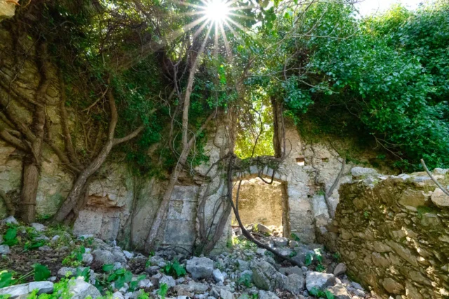
Cave of Digenis
At an altitude of 750 meters on Mount Kentros, northeast of Platanes, is the Cave of Digenis. The cave measures 45 x 18 x 15 meters. According to legend, this was the home of Digenis Akritas. There are indications that the cave was used as a place of worship during the Minoan era. Over the centuries, it also served as a shelter for residents of the surrounding areas during enemy raids, such as during World War II.
Richtra of Digenis
On the steep southern side of Mount Kentros, in the Rechtes area, lies the Platanes gorge, one of the most rugged in Crete. The gorge carries a large volume of water, especially during the winter and spring months. The water originates from above the first major waterfall, constituting one of the largest sources for the Akoumianos River and for Crete in general.
A path starts from the village of Platanes and, after about an hour’s ascent, reaches the base of the main waterfall, known as “Richtra of Digenis.” In the Cretan dialect, rechta, rechtara, or richtara means waterfall. The name is linked to the legendary hero Digenis Akritas, who is associated with other toponyms and legends in the region.
The waterfall has a total drop of about 70 meters, forming two main steps of approximately 35 meters each. Access without technical equipment is possible only to the lower, more impressive step. The water, which originates a few meters above, continues its course downwards, creating about 15 more smaller waterfalls that are accessible by walking.
Settlement: Key Points
- Location: Southern foothills of Mount Kentros, Municipality of Agios Vasileiou, Rethymno regional unit.
- Historical Significance: Documented in Venetian censuses of the 16th and 17th centuries (Barozzi 1577, Kastofylakas 1583).
- Current Status: A settlement within the Community of Kentrochori.
- Population Data:
Year |
Population |
Notes |
1583 |
62 |
|
1881 |
88 |
Christians |
1900 |
112 |
|
1920 |
136 |
|
1928 |
164 |
|
1940 |
190 |
|
1951 |
202 |
|
1961 |
181 |
|
1971 |
153 |
|
1981 |
111 |
|
1991 |
91 |
|
2001 |
84 |
|
2011 |
112 |
|
2021 |
42 |