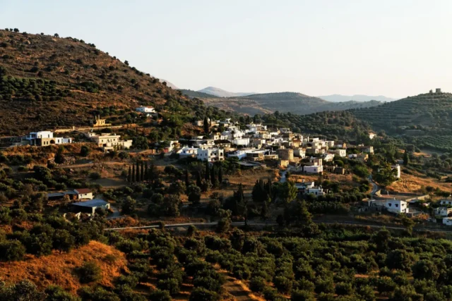
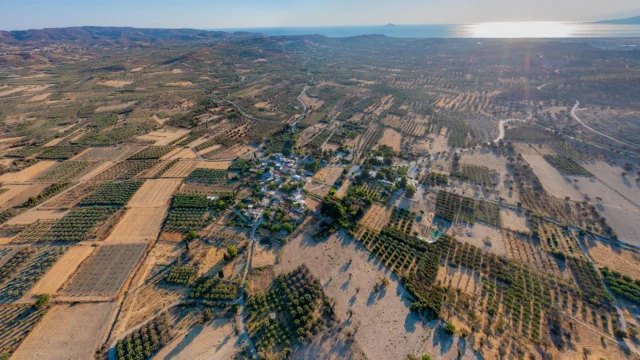
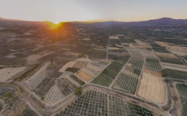
Petrokefali is a village and the seat of the eponymous community in the Municipality of Phaistos in the Heraklion Regional Unit of Crete. It is located at the 59.3rd kilometer of the road to Matala. The inhabitants of the village are mainly engaged in olive growing and the cultivation of citrus fruits and early vegetables. In the past, the area was also known for rice cultivation. The village has an artesian well for irrigation and the inhabitants use wells for their water supply.
In Petrokefali, the Cultural Association of Ladies and the Adult Education Center are active, while a kindergarten and a primary school also operate.
Historical Overview
The village is mentioned in the Venetian censuses with the same name it has today. In the Kastrofylakas, it is recorded as Petrochieffali with 199 inhabitants.
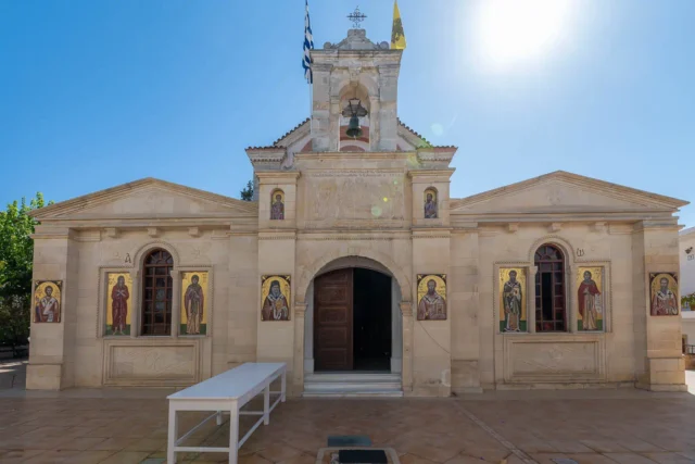
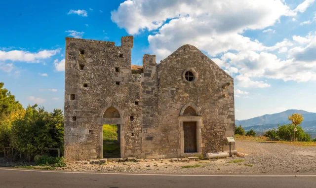
In the settlement is the two-aisled church of the Holy Spirit and the Annunciation (Agio Pnevma and Evangelismos), also the church of the Virgin Mary (Theotokos) and Agios Eleftherios (Saint Eleftherios). The feasts of these churches are important events for the region, with traditional Cretan festivals that combine religious devotion with local color.
The Community of Petrokefali was established in 1925 and belongs to the Municipality of Phaistos in the Heraklion Regional Unit of Crete.
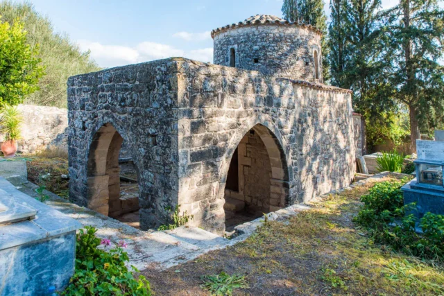
Flambanochori – The Abandoned Village
South of Petrokefali lies the abandoned village of Flambanochori. The main reason for its abandonment was probably the devastating plague in 1592 that ravaged the region. This plague, also known as the “Black Death,” was a highly contagious and deadly disease caused by the bacterium Yersinia pestis.
Xopateras – The Cretan Rebel and Local Hero
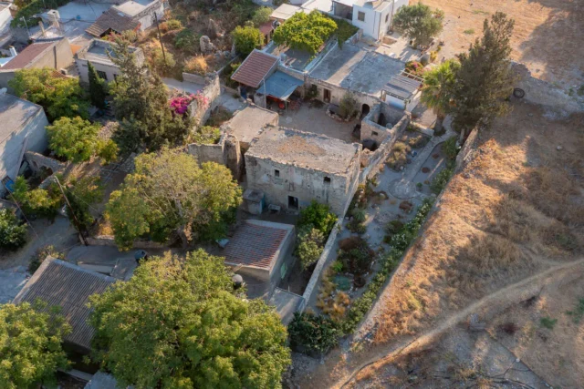
In Petrokefali was the ancestral home of Xopateras’ father and grandfather. It’s depicted as a place where Xopateras spent a significant part of his life, fostering relationships and collaborating with those who yearned for liberation from Ottoman oppression. In Petrokefali was also a house, inherited from Xopateras’ grandmother, which served as his dwelling during his visits and later became a shelter for his orphaned children. Xopateras, whose real name was Giannis Markakis, was known for his bravery and unwavering commitment to the cause of freedom. He led numerous raids and attacks against Ottoman forces, earning him the respect and admiration of his fellow Cretans. His story serves as a reminder of the sacrifices made by countless individuals in the fight for Cretan independence.
Village Key Points
- Historical References: Petrokefali is mentioned in Venetian censuses with its current name. In the Kastrofylakas (K 103), it is recorded as Petrochieffali with 199 inhabitants. The village also has historical connections to the Cretan Revolution against the Ottomans, particularly through figures like Michael Kourmoulis and Xopateras.
- Location: Petrokefali is situated in the Municipality of Phaistos in the Heraklion Regional Unit of Crete, at the 59.3rd kilometer of the road to Matala.
- Population Data Over the Years:
YearPopulationNotes1583199Petrochieffali1881377342 Christians, 35 Muslims190047019205301928555194059419516931961670197153719816261991668200173320117902021813
- Current Status: Petrokefali is an active village with a focus on agriculture, particularly olive growing and the cultivation of citrus fruits and early vegetables. The village also has a Cultural Association of Ladies and an Adult Education Center, and there is a kindergarten and a primary school.