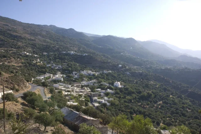
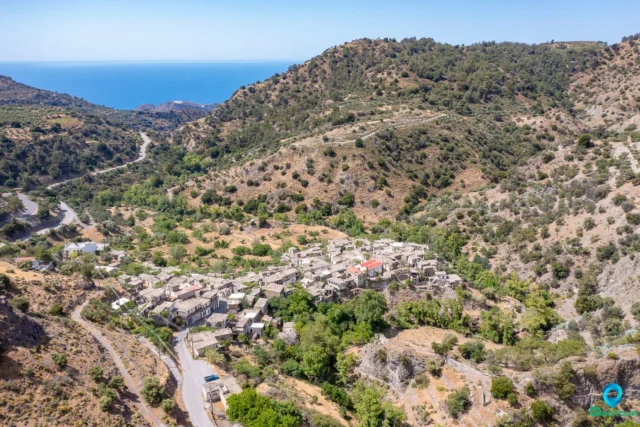
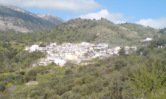
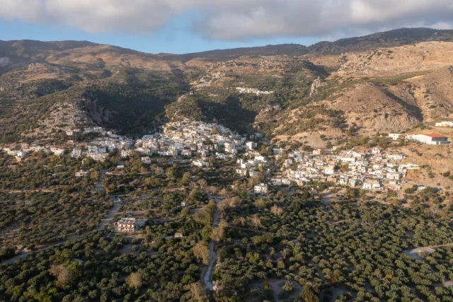
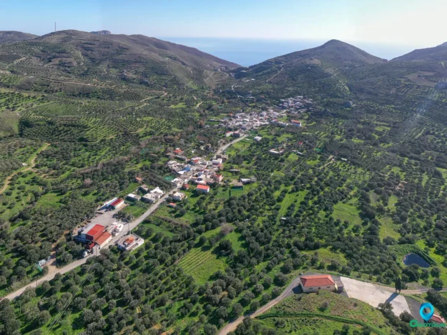
Pefkos (Πεύκος) is a village and the seat of its own community within the municipality of Viannos, located in the Heraklion regional unit of Crete. It is situated on the southern foothills of Mount Psari Madara, part of the Dikti mountain range, at an altitude of approximately 740 meters. The village is about 10 kilometers east of Ano Viannos.
History
The name of the village, Pefkos, is a phytonym, meaning it is derived from a plant name, specifically from the large pine tree (Greek: πεύκο, pefko) that once existed in the upper part of the settlement. Historical records show the village was mentioned in the 1583 census by Castrofilaca as Pefco, with a population of 220 residents.
During the Nazi Occupation, Pefkos suffered significantly. German forces who had stayed overnight in the village on September 14, 1943, gathered the residents and executed 13 men. A similar event is reported to have occurred on September 12, 1943, when German soldiers retreating from the Battle of Symi killed four men and set fire to some houses. The village was completely burned on September 14, 1943. On September 30, the Germans ordered the evacuation of several villages, including Pefkos, and on October 14, special demolition teams used dynamite and fire to destroy the remaining structures, declaring the area a “dead zone.”
Churches and Landmarks
Pefkos is home to several religious monuments. The oldest church is dedicated to Agia Anna (Saint Anne). Other churches include Agios Georgios (Saint George) and Agios Dimitrios (Saint Demetrius). Additionally, there are small chapels, such as Agios Nikolaos (Saint Nicholas) on the southeastern edge of the village and Agios Theodoros (Saint Theodore) about two kilometers away towards Kalani. According to local tradition, inhabitants once found “agiokonstantinata,” an old type of coin, at the site of the Agios Theodoros chapel. The village also has a regional medical clinic.
Economy
The local economy of Pefkos is primarily agricultural. Residents are engaged in olive cultivation, the production of vegetables, livestock farming, and beekeeping.
Settlement: Key Points
- Historical References: First mentioned in the 1583 census by Castrofilaca as “Pefco” with 220 inhabitants.
- Location: Situated on the southern foothills of Mount Psari Madara, part of the Dikti mountain range.
- Historical Significance: Suffered heavily during the Nazi Occupation, with multiple executions and the complete burning of the village in September 1943.
- Current Status: Part of the Viannos municipality in the Heraklion regional unit.
- Population Data:
Year | Population | Notes |
1583 | 220 | Pefco |
1881 | 365 | |
1900 | 411 | |
1920 | 412 | |
1928 | 458 | as Pefkoi |
1940 | 533 | |
1951 | 460 | |
1961 | 436 | |
1971 | 341 | |
1981 | 241 | |
1991 | 250 | |
2001 | 212 | |
2011 | 316 | ? |
2021 | 183 |
References
- Wikipedia
- Γεώργιος Χρηστάκης, συνεργασία Κ.Γ.Στεφανάκη «Επαρχία Βιάννου 1940-1945»
- Γεώργιος Ε. Δημητριανάκης «Ο Μύρτος & τα γύρω χωριά»