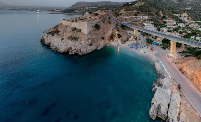
Located on a limestone cliff overlooking Palaiokastro beach, the Palaiokastro Fortress is a significant historical site. Built by the Venetians between 1573 and 1595, it protected the Bay of Heraklion.
Strategic Location
The fortress’s location, along with the Koules Fortress, provided complete protection for the bay, which was important for trade and defense. The Palaiokastro Fortress had three levels that followed the shape of the land, giving it a strong defensive position. Its entrance, cut into the rock, made it even more secure.
Design
The fortress’s three levels each had a purpose. The lowest level held the powder magazines, built into the slope for protection. Next to these was a water cistern that collected rainwater to use in case of fire. The second level held the barracks for the soldiers, and the top level had a chapel.
Venetian History
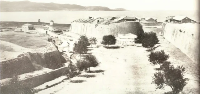
The symbol of the Venetian Republic, the winged lion of St. Mark, can be seen on the fortress walls. A 1618 drawing by Francesco Basilicata shows what the fortress looked like in its prime. On the beach below, there is a restored Venetian lime kiln that was used to make building materials for the fortress.
Ottoman Rule
The fortress was taken by the Ottomans during the Cretan War (1645-1669). In the early 1900s, G. Gerola mapped and photographed the fortress, recording its condition.
Current State
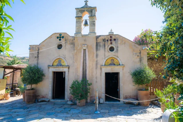
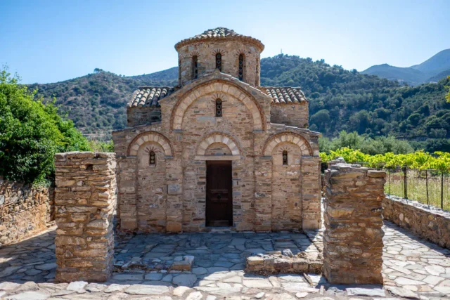
Today, the Palaiokastro Fortress is partly ruined but still stands strong. A small church dedicated to St. Mark has been built among the ruins. The Municipality of Malevizi, the 13th Ephorate of Byzantine Antiquities, and the Palaiokastro Cultural Association are working to preserve and restore the fortress.
Fortifications: Key Points
- Construction Period: 1573-1595
- Location: Palaiokastro Beach, near Heraklion, Crete
- Dimensions: Three-level fortress adapted to the sloping terrain
- Historical Significance: Venetian fortress protecting Heraklion Bay, later captured by the Ottomans
- Current Status: Partially ruined, undergoing restoration efforts