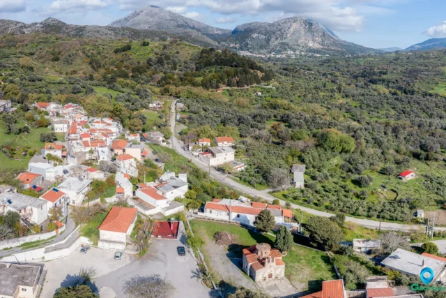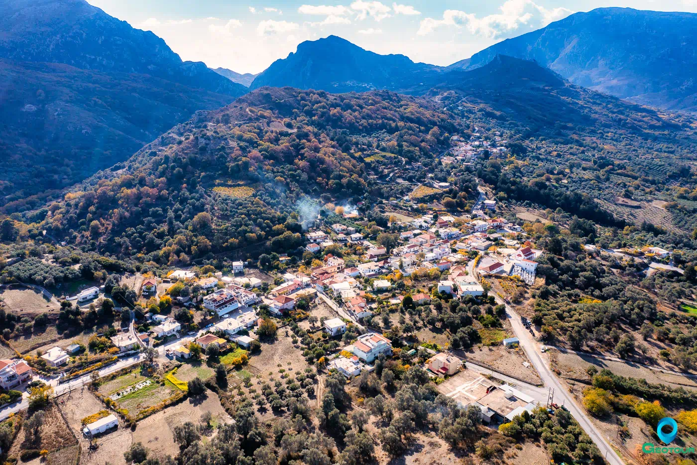
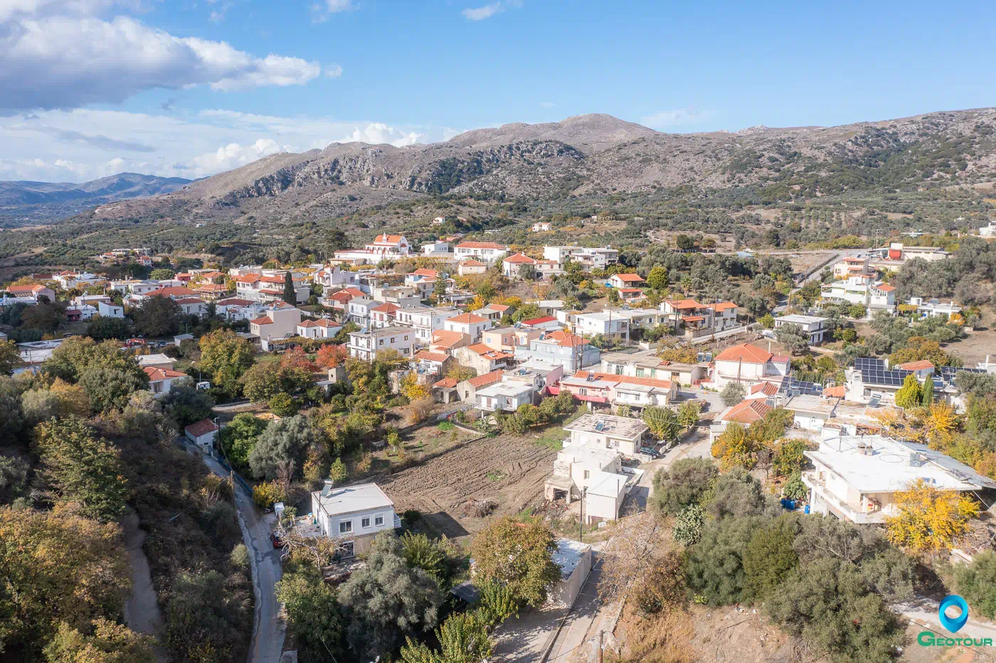
Myxorrouma is a village located in the Rethymno regional unit on the island of Crete, Greece. It lies within the municipal unit of Lambi, in the municipality of Agios Vasileios. The village is situated at an altitude of 300 meters. Stergios Spanakis, a researcher of Cretan toponyms, suggests that the name Myxorrouma is derived from the Greek words “mixis” (meaning “mixing”) and “rouma” (meaning “stream” in the Cretan dialect). This etymology reflects the village’s location at the confluence of streams.
Historical References
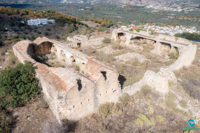
- Minoan Era: Evidence of a Minoan-era settlement has been discovered at the Kosteli site near Myxorrouma.
- Venetian Period: Myxorrouma is mentioned in Venetian documents as early as 1577. The Venetian census of 1583 records the village as having 64 inhabitants.
- Ottoman Period: The Ottoman census of 1659 documents the presence of 8 houses in Myxorrouma.
- Modern History: In 1925, Myxorrouma became the seat of a community that existed until the administrative reforms of the Kapodistrias plan. The village then became part of the Lambi municipality.
Points of Interest
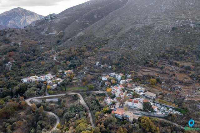
- Traditional Architecture: Myxorrouma’s unique urban layout features houses built close together, with only a single peripheral road encircling the village.
- Old Schoolhouse: The old primary school building in Myxorrouma has been designated as a historical monument. Constructed in the early 20th century, it represents the architectural style of school buildings in Crete during that period.
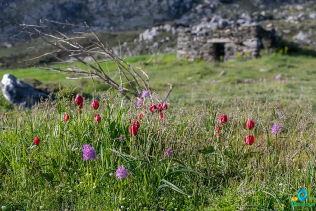
- Natural Landscape: A verdant valley with year-round flowing water is located near the village.
Population Data
Year |
Population |
Notes |
|---|---|---|
1583 |
64 |
Mixoruma |
1881 |
126 |
Christians |
1900 |
146 |
|
1920 |
207 |
|
1971 |
216 |
|
1981 |
225 |
|
1991 |
231 |
|
2001 |
260 |
|
2011 |
210 |
|
2021 |
188 |
References