Moroni is a village and the seat of the homonymous community in the Municipality of Phaistos, in the Heraklion regional unit of Crete, Greece. It belonged to the province of Kainourgiou in the prefecture of Heraklion. It is located 53 kilometers from the city of Heraklion.
Historical References
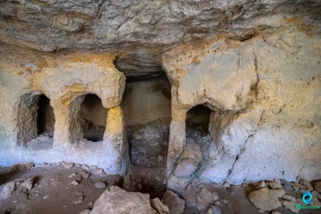
The village’s name, derived from the Byzantine surname Moronis, suggests a connection to the Byzantine era, a period of significant cultural and political development in Crete. This link to the Byzantine past is further reinforced by the presence of historical churches and monuments in and around the village.
During the Venetian period, Moroni was known as “Moroni Catto” and “Moroni Apano,” indicating the existence of two distinct settlements within the village. The Venetian census of 1583 recorded a combined population of 169 inhabitants for these two settlements, providing a glimpse into the village’s demographic landscape during that era.
However, the Ottoman conquest of Crete in the 17th century brought significant changes to Moroni. The village became exclusively inhabited by Turks, as evidenced by the Ottoman census of 1881, which recorded a population of 287 Turks. This demographic shift reflects the broader impact of Ottoman rule on Crete, which saw the displacement and conversion of many Christian communities.
The 20th century witnessed further transformations in Moroni, as the island of Crete transitioned from Ottoman rule to its incorporation into the Greek state. The village’s population gradually diversified, and its economy shifted towards agriculture and livestock farming.
Location and Dimensions
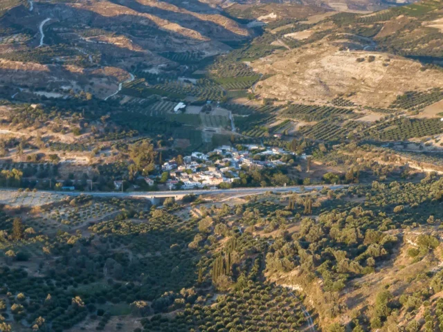
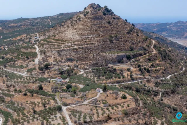
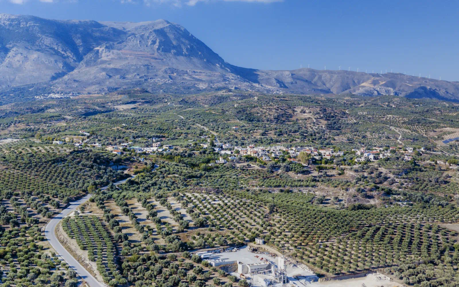
Its elevation of 350 meters above sea level provides a comfortable climate with mild winters and warm summers, ideal for agricultural activities. The village’s location, approximately 53 kilometers southwest of Heraklion, places it within easy reach of the island’s capital and other major towns, facilitating access to essential services and cultural attractions.
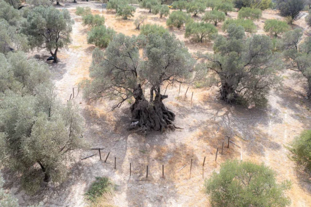
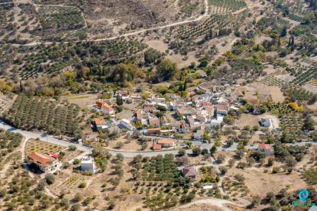
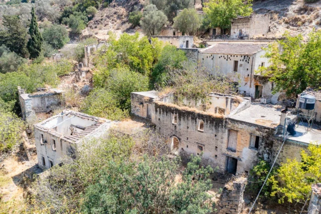
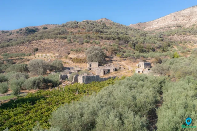
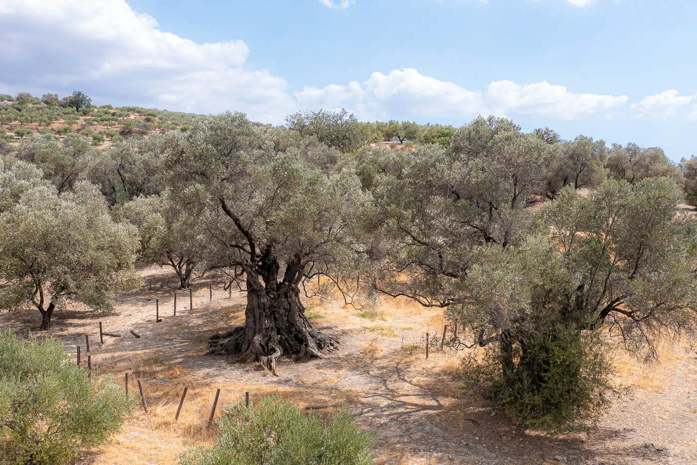
The surrounding landscape is a tapestry of olive groves, vineyards, and rolling hills, creating a picturesque backdrop for the village. Moroni itself is characterized by its traditional stone houses, narrow streets, and a central square that serves as a gathering place for the community. The village’s compact size and harmonious architecture contribute to its intimate and welcoming atmosphere.
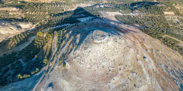
Moroni’s location also offers proximity to significant historical and natural landmarks. The nearby archaeological site of Phaistos, one of the most important Minoan palaces in Crete, provides a window into the island’s ancient past. The imposing Mount Psiloritis, visible from the village, adds to the scenic beauty and offers opportunities for hiking and outdoor exploration.
Population data over the years
The population of Moroni and its surrounding settlements has experienced significant fluctuations over the centuries. During the Venetian era, the village was divided into two distinct settlements, Moroni Catto and Moroni Apano, with a combined population of 169 in 1583. However, under Ottoman rule, the village became exclusively inhabited by Turks, with 30 families recorded in 1834 and a population of 287 in 1881. Following the integration of Crete into Greece, the village’s population diversified and grew, reaching a peak in the mid-20th century. However, in recent decades, like many rural areas in Crete, Moroni has experienced a decline in population. While the 2001 census recorded a population of 212 for Moroni itself, the 2011 census showed a slight increase to 256. The fluctuations in the populations of the associated settlements, some of which are now abandoned, further highlight the dynamic demographic changes that have shaped the region over time.
- 2001: 212 inhabitants
- 2011: 256 inhabitants
Current Status
Today, Moroni stands as a testament to its rich and layered history. The village, with its population of 256 inhabitants as of the 2011 census, continues to thrive as an agricultural community, primarily focused on olive growing and vineyard cultivation. The production of high-quality olive oil remains a cornerstone of the local economy, contributing to the village’s identity and its connection to the land.
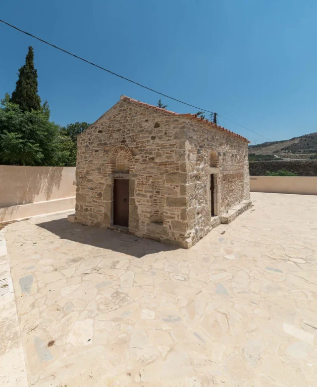
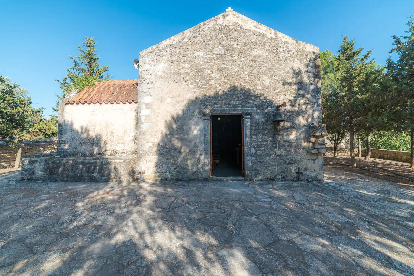
The presence of a kindergarten and a primary school in Moroni reflects the community’s commitment to education and the well-being of its young residents. The village also boasts two churches, Agia Aikaterini and Agios Georgios, which serve as centers of religious and cultural activity, fostering a sense of community and belonging.
While agriculture remains the primary economic activity, Moroni is also experiencing a gradual increase in tourism due to its proximity to the archaeological site of Phaistos and its scenic location in the foothills of the Messara plain. The village’s traditional architecture, historical landmarks, and natural beauty offer visitors a glimpse into the authentic charm of rural Crete.
Village Key Points
- Location: Moroni is situated in the northern foothills of the Messara plain, 53 kilometers from Heraklion.
- Historical Significance: The village’s history dates back to the Byzantine era, and it was inhabited solely by Turks during the Ottoman period.
- Population data over the years: The population was 212 in 2001 and increased to 256 in 2011.
- Current Status: The main occupations of the residents are olive growing and the cultivation of vineyards. The village has a kindergarten and a primary school, and features the churches of Agia Aikaterini and Agios Georgios.