Metaxochori, Lasithi
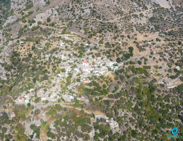
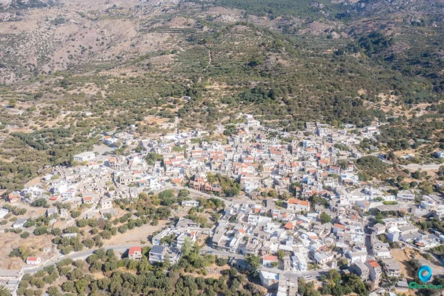
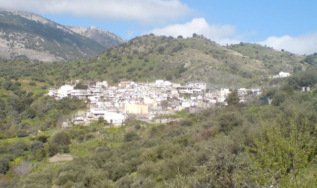
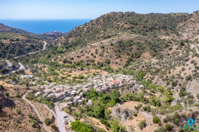
Metaxochori (Μεταξοχώρι), known as Parsas (Παρσάς) until 1955, is a village and the seat of a community within the Municipality of Ierapetra in the Lasithi regional unit. The settlement is situated on the eastern slopes of the Dikti mountain range at an altitude of 560 meters. It is located approximately 30 kilometers from the town of Ierapetra.
History
The village has a long history, with its first mention in the Venetian census of 1583 by Kastrofylakas, where it was recorded as Parissea with 138 inhabitants. In 1630, Francesco Basilicata also referred to it as Parissea. The Ottoman census of 1671 listed the village as Parsa. In the Egyptian census of 1834, it was recorded as having 29 Christian families. By 1881, the population had grown to 210 Christian residents, and the village was administratively part of the municipality of Mournies.
In 1920, Parsas became the seat of its own municipality in the province of Ierapetra. It was briefly merged into the community of Christos in 1928 but was re-established as an independent community after 1951.
The name of the village was changed in 1955 to Metaxochori to honor Patriarch Meletios Metaxakis, a significant religious figure who was born there.
Meletios Metaxakis
Meletios Metaxakis (born Emmanouil Metaxakis, 1871–1935) was a prominent figure in the Orthodox Church. During his career, he served as Metropolitan of Kition, Archbishop of Athens and All Greece, Ecumenical Patriarch of Constantinople (as Meletios IV), and Patriarch of Alexandria and All Africa (as Meletios II). A bust in his honor is located in the central square of Ierapetra.
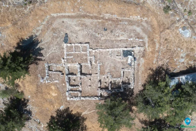
On June 23, 2023, a project began for the complete restoration of the old house of Patriarch Meletios Metaxakis in the village. The project, with a total budget of €133,000, is being implemented by the Municipality of Ierapetra. The goal is to complete the restoration to preserve the historical memory of his legacy.
The Village Today
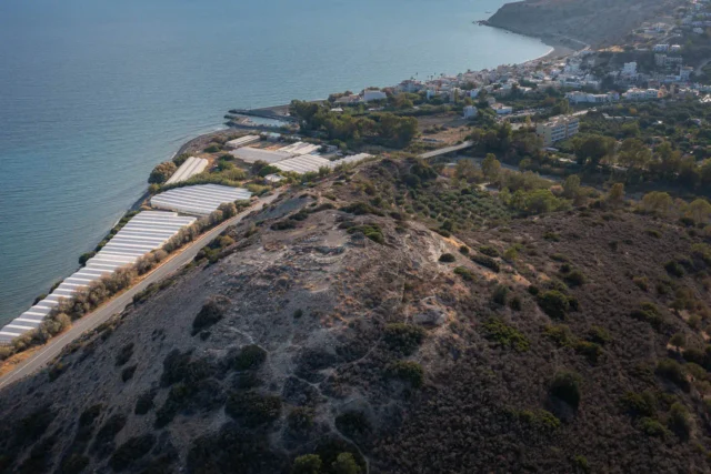
Metaxochori is a small village with few permanent residents. Many of its inhabitants have relocated to the coastal lowlands of Ierapetra, such as Stomio, Ammoudares, and Xirokampos, to engage in agriculture, particularly greenhouse cultivation.
The village has basic infrastructure, including a paved road, a renovated school building, and a war memorial. It is known for its natural environment, traditional Cretan houses, and quiet atmosphere. There are several caves in the vicinity, including the “Klisidi” cave, which contains old findings, and the “Neraidogoula” cave. The latter is known for a phenomenon where, on occasion during August, it releases large quantities of water that flow into the “Psoriaris river.”
Settlement: Key Points
- Location: Situated on the eastern slopes of the Dikti mountains at an altitude of 560 meters, in the Lasithi regional unit.
- Historical Name: The village was known as Parsas until 1955. Earlier Venetian records list it as Parissea.
- Historical Significance: The birthplace of Meletios Metaxakis (1871-1935), who served as Archbishop of Athens, Ecumenical Patriarch, and Patriarch of Alexandria. His former house is currently under restoration.
- Current Status: A small village with a very low number of permanent residents. It serves as a local community within the Municipality of Ierapetra.
- Population Data: The population has seen a significant decline over the last several decades.
Year | Population | Notes |
1583 | 138 | as Parissea |
1881 | 210 | as Parsas, Christians |
1900 | 167 | as Parsas |
1920 | 199 | as Parsas |
1928 | 214 | as Parsas |
1940 | 281 | as Parsas |
1951 | 250 | as Parsas |
1961 | 179 | |
1971 | 98 | |
1981 | 56 | |
1991 | 79 | |
2001 | 55 | |
2011 | 12 | |
2021 | 5 |