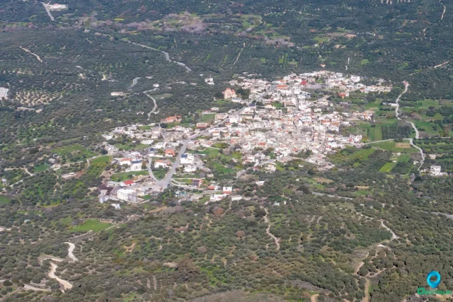
Martha is a village and seat of the namesake community of the Viannos Municipality in the Heraklion Regional Unit on the island of Crete, Greece. It is part of the Pediada province.
Geography
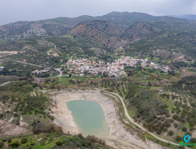
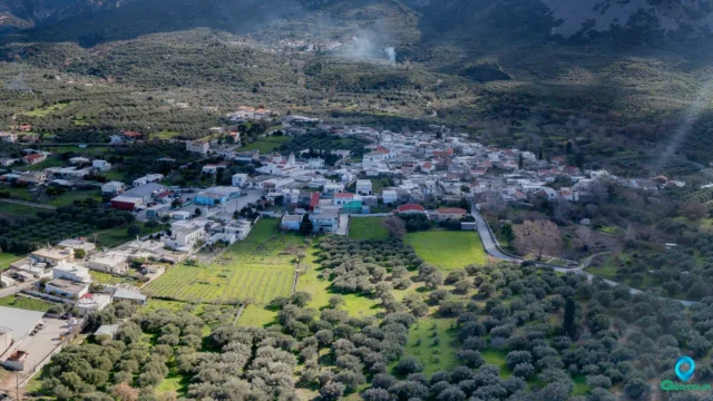
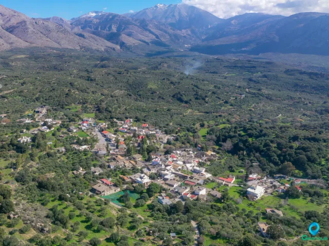
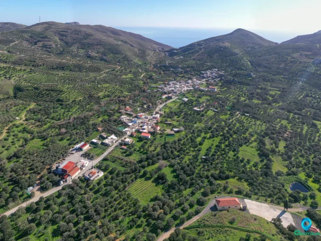
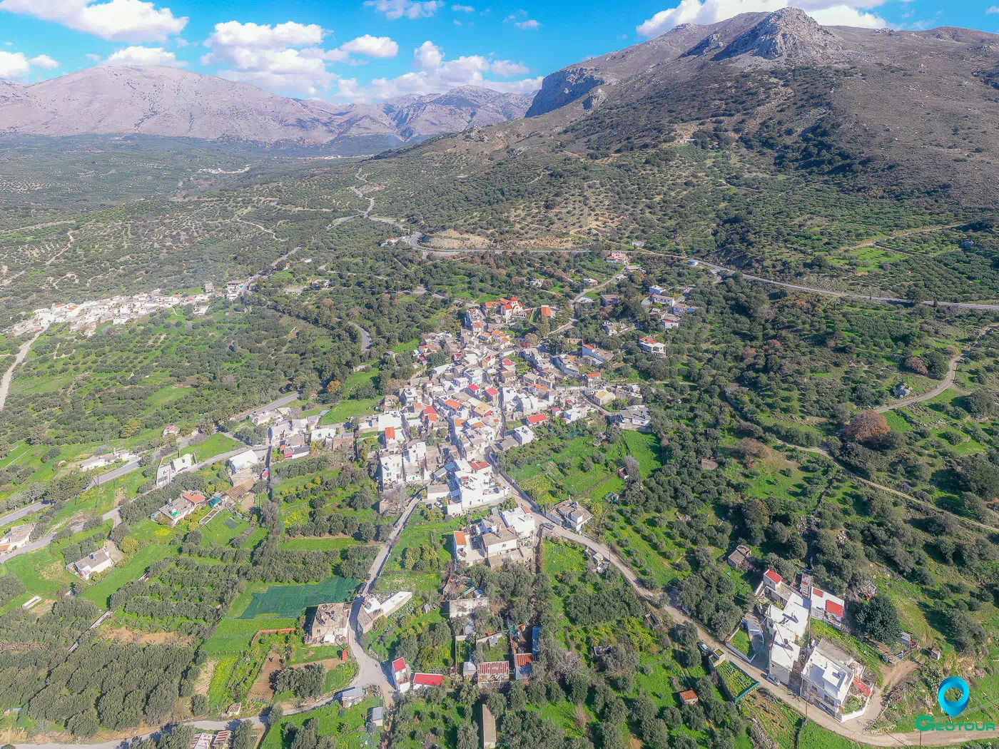
Martha is situated at the foot of the southwestern slope of Mount Koupa, which is part of the Dikti mountain range. It lies 5 kilometers after the village of Embaros and 54 kilometers from Heraklion. The village is nestled amidst rolling hills and olive groves, offering picturesque views of the surrounding countryside. The area is characterized by its fertile land, which is conducive to agricultural activities.
The Village
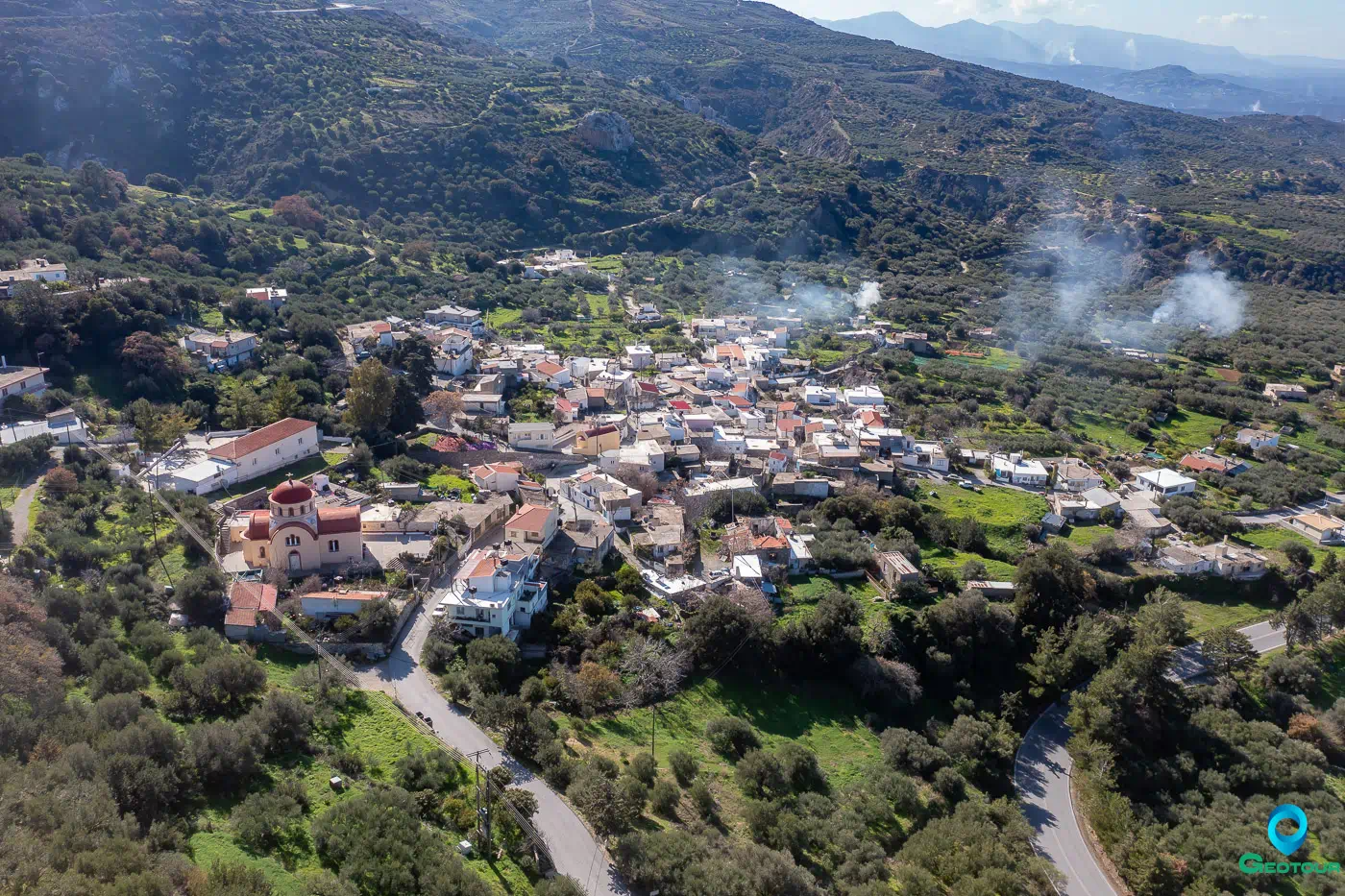
The village of Martha is divided into two neighborhoods: Pano Martha (Upper Martha) or Mikri (Small) or Evagelismou (Annunciation) and Kato Martha (Lower Martha) or Megali (Large) or Agios Ioannis o Theologos (Saint John the Theologian). The central church of the village is dedicated to Agios Nektarios. There is also the chapel of Agios Ioannis o Tsikaloudis, built-in 1902, and the church of Panagia (Virgin Mary) (Evangelismos), in Pano Martha, where the cemetery is located.
History
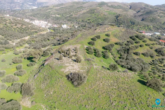
While the village is not mentioned in Venetian censuses, this does not necessarily imply that it did not exist in earlier times. One theory suggests that the village’s name derives from a nun of the Monastery of the Annunciation of the Theotokos that existed in the area. Another version speaks of a noblewoman named Martha, whose mansion was located near the monastery. Today, ruins of this mansion1 still remain.
Economy
The inhabitants of Martha are primarily engaged in the production of olive oil, cereals, and livestock products. The village has an agricultural cooperative and an active cultural association.
Settlement: Key Points
- Located 54 km from Heraklion, Crete, Greece.
- Divided into two neighborhoods: Pano Martha and Kato Martha.
- The central church is dedicated to Agios Nektarios.
- The village has an agricultural cooperative and a cultural association.
- The name “Martha” is believed to be derived from either a nun or a noblewoman.
Population Data
Year |
Population |
Notes |
|---|---|---|
1583 |
– |
|
1881 |
171 |
159 Christians, 12 Muslims |
1900 |
177 |
|
1928 |
504 |
|
1940 |
380 |
|
1951 |
417 |
|
1961 |
454 |
|
1971 |
426 |
|
1981 |
374 |
|
1991 |
347 |
|
2001 |
293 |
|
2011 |
178 |
|
2021 |
132 |
References