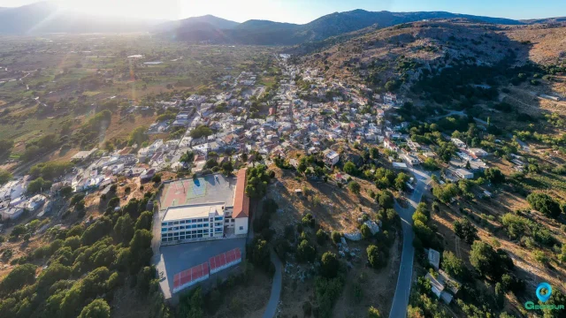
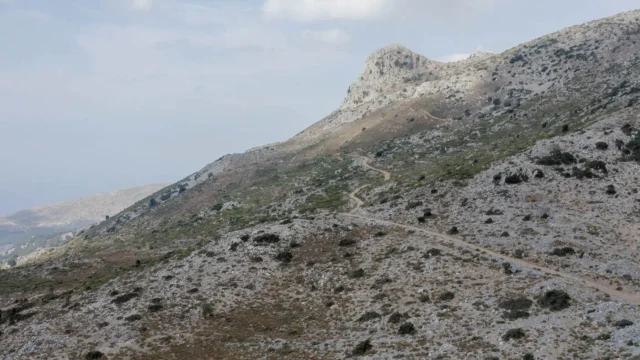
Marmaketo (also spelled Marmaketo or Marmaketon) is a small village in the Lasithi regional unit on the island of Crete, Greece. It is located on the eastern side of the Lasithi Plateau at an altitude of 860 meters, on the foothills of Fakidia hill. The village has a population of 32 residents (2021 census).
History
- Neolithic Period: Evidence suggests that the area of Marmaketo has been inhabited since the Neolithic period (3500 BC), as indicated by findings on Kastellos hill.
- Kronio Cave (or Trapeza Cave): This cave, located on Kastellos hill, has yielded artifacts related to worship and religious practices.
- Origin of the Name: The village is named after the many “marmarades” (marble workers) who used to live there.
- Emmanouil Rovithis (Captain Kazanis): The Cretan rebel leader Emmanouil Rovithis, known as Captain Kazanis, was born in Marmaketo in 1793. He fought against the Ottomans and led the people of Lasithi in many battles during the Greek War of Independence. He died in poverty in Naxos in 1846 after the Greek government discontinued his pension. A statue of Captain Kazanis has been erected in the village square.
- Venetian and Ottoman Periods:
- 1364: The Venetians destroyed the villages on the Lasithi Plateau and prohibited habitation due to frequent uprisings.
- 1465: The Venetians allowed the cultivation of cereals, leading to the establishment of temporary settlements (“metochia”), which later became permanent.
Landmarks
- Statue of Captain Kazanis: Located in the central square.
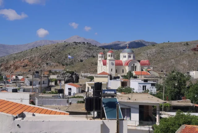
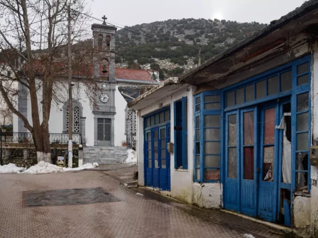
- Church of Agios Georgios: The main church in the village.
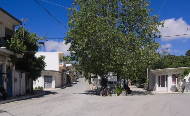
- Traditional Architecture: Marmaketo retains its traditional character with stone-built houses and narrow streets.
Powered by GetYourGuide
Farsaro
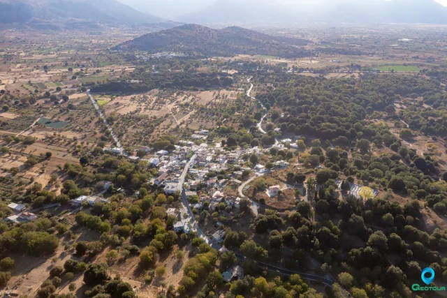
The community of Marmaketo also includes the smaller settlement of Farsaro.
Village Key Points
- Historical References:
- 1583 census as “Marmaketo Metochi” (no population recorded).
- 1630 census as “Marmaketo Metochi” with 15 houses.
- Location: Lasithi Plateau, Lasithi regional unit, Crete, Greece.
- Altitude: 860 meters
- Historical Significance: Neolithic settlement, birthplace of Captain Kazanis.
- Population:
YearPopulationNotes1583No population recorded (Kastrophylacas)163015 houses (Basilicata census)167145 “haratsia” (tax-paying households) recorded with Agios Konstantinos183430 Christian families1881161190016419282441940177195115819611171971951981123199186200155201125202132