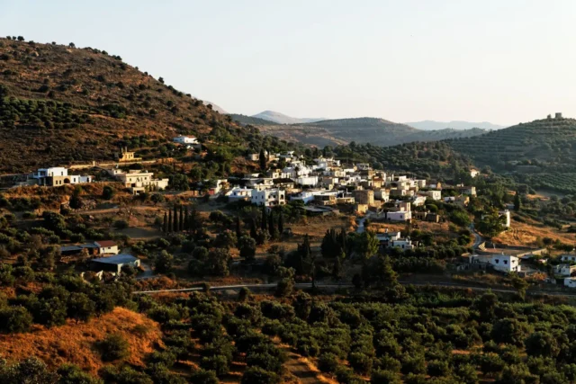
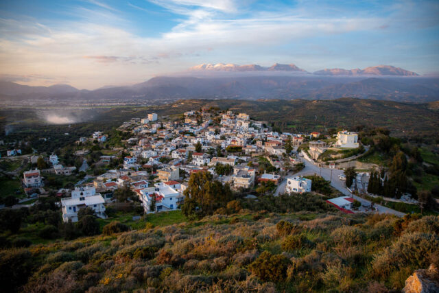
Listaros is a small village located in the foothills of the Asterousia Mountains in southern Crete, Greece. It is part of the municipal unit of Kouses in the municipality of Phaistos, within the Heraklion regional unit. The village is situated at an altitude of 250-450 meters above sea level, offering panoramic views of the surrounding landscape. Listaros has a rich history, dating back to at least the 16th century, as evidenced by its mention in historical records from 1577. During the Ottoman period, it was designated as a “Vakoufiko” village, meaning its income was dedicated to supporting religious institutions and charitable works.
Archaeological Survey and Ethnographic Research
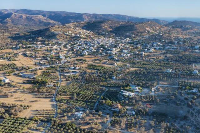
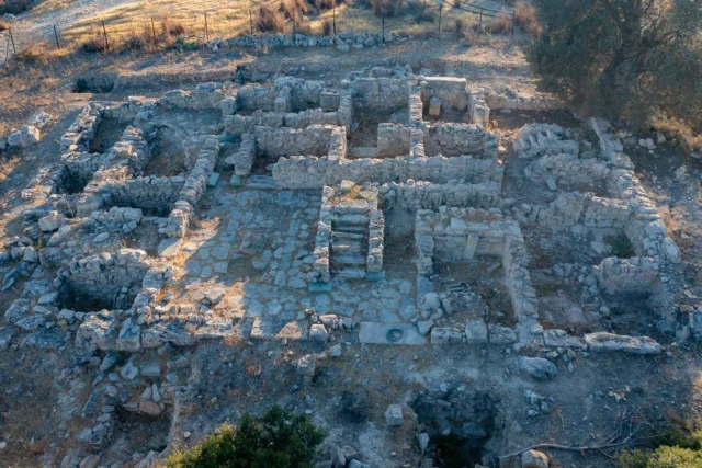
In the early 1980s, Listaros and its surrounding areas were included in an archaeological survey of the Western Mesara Plain. The survey, conducted by a Greek-American team, aimed to document the history of settlement and human interaction with the environment in the region. The geological analysis revealed that Listaros is situated near a spring at the contact between porous Miocene marls and impermeable metamorphic rock. The village is surrounded by fields of grain and olives, and the wild vegetation is more diverse than in the coastal areas.
The landscape of Listaros and its surrounding areas has been shaped by centuries of human activity, including agriculture, grazing, and burning. The villagers have traditionally relied on the local flora and fauna for food, forage, fuel, construction, crafts, medicine, spice, and ritual. The main food plants include barley, wheat, legumes, olives, and grapes.
Detailed ethnographic research conducted in the 1980s as part of the archaeological survey provides insights into the family and social life of Listaros and other villages in the Western Mesara Plain. The research focused on documenting local patterns of subsistence in pre-mechanized periods, recording human-land interactions, and integrating this data with geological and botanical findings. The study revealed that villages like Listaros, whose landholdings primarily consist of red soils, were at a disadvantage in terms of subsistence, as these soils require consistent irrigation for optimal productivity. The research also highlighted the importance of community ties and the role of the local environment in shaping the cultural practices of the villagers.
Settlement: Key Points
- Historical References: First mentioned in 1577, designated as a “Vakoufiko” village during the Ottoman period.
- Location: Situated in the foothills of the Asterousia Mountains, at an altitude of 250-450 meters.
- Historical Significance: Part of the agricultural landscape of the Western Mesara Plain, shaped by centuries of human interaction with the environment.
- Population Data:
YearPopulationNotes188176Christians190092194015119511581961124197155198145199146200128201134202128
References
- L. Vance Watrous et al. (1993). A Survey of the Western Mesara Plain in Crete: Preliminary Report of the 1984, 1986, and 1987 Field Seasons. Hesperia, 62(2): 191-250.