Krana is a mountain village in the Mylopotamos municipality, located in the Rethymno regional unit on the island of Crete, Greece. The name Krana is believed to originate from the Doric word for “spring” or “fountain,” reflecting the presence of a water source near the village. Another theory suggests it might be linked to a historical workshop that produced military helmets.
Historical References
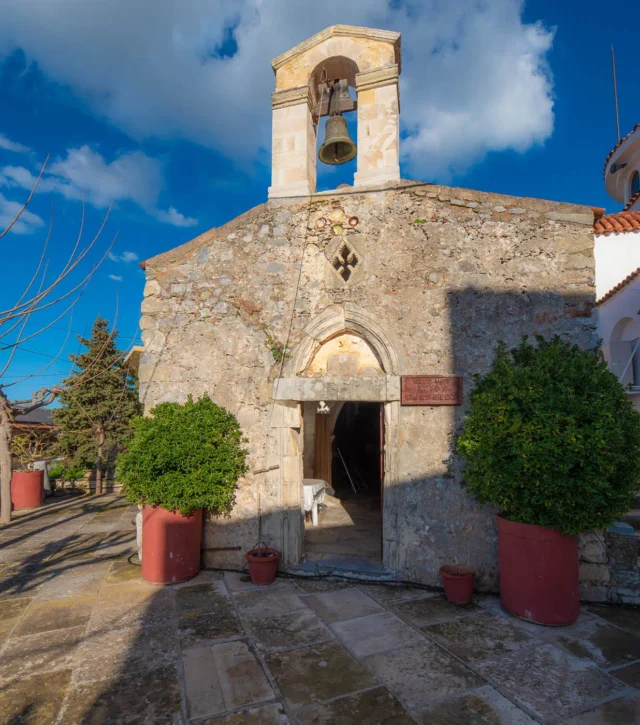
The village has a long history, with Venetian sources referencing it as early as 1577. The name “Crana” appears in various forms in Venetian documents throughout the 16th and 17th centuries. Krana’s historical significance lies primarily in its connection to the Cretan struggle for independence from the Ottoman Empire. The village was home to notable figures like Nikolaos Kokkinidis (Papa-Kraniotis), a priest and revolutionary who played a key role in the 1866 uprising and the tragic events at Arkadi Monastery.
Location and Dimensions
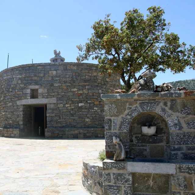
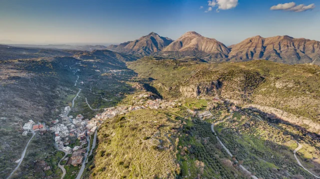
Nestled in the foothills of Mount Psiloritis, Krana enjoys a picturesque mountainous setting. It’s situated at an elevation of 610 meters above sea level, offering panoramic views of the surrounding landscape. The village itself is relatively compact, with traditional stone houses clustered together along narrow streets.
Historical Significance
Krana’s historical significance is intertwined with the broader narrative of Crete’s fight for freedom. The village’s contribution to the Cretan resistance against Ottoman rule is particularly noteworthy. The bravery and sacrifice of individuals like Papa-Kraniotis highlight the spirit of defiance that characterized the Cretan people during this tumultuous period. Additionally, the temporary relocation of a hospital to Krana during the 1866 uprising underscores the village’s role in supporting the broader revolutionary cause.
Population Data Over the Years
Year |
Population |
|---|---|
1583 |
170 |
1881 |
107 |
1928 |
171 |
1991 |
352 |
2001 |
239 |
2011 |
193 |
Current Status
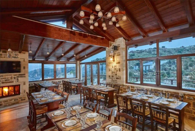
Today, Krana remains a small, tight-knit community primarily engaged in livestock farming. While its population has dwindled, the village retains its historical character and charm. The presence of a high school and an elementary school indicates a commitment to preserving local education and cultural heritage. The establishment of a football team and a cultural association further demonstrates the community’s vitality and resilience. Krana, though small, continues to play a role in the cultural and social fabric of the Mylopotamos region.
Village Key Points
- Historical References: Venetian documents from 1577 onwards.
- Location: Mountainous area, at the foot of Mount Psiloritis, 45 km from Rethymno.
- Population Over The Years: The decline in population since the late 20th century is due to factors such as urbanization and emigration.
- Current Status: Primarily a livestock farming village with a small permanent population.