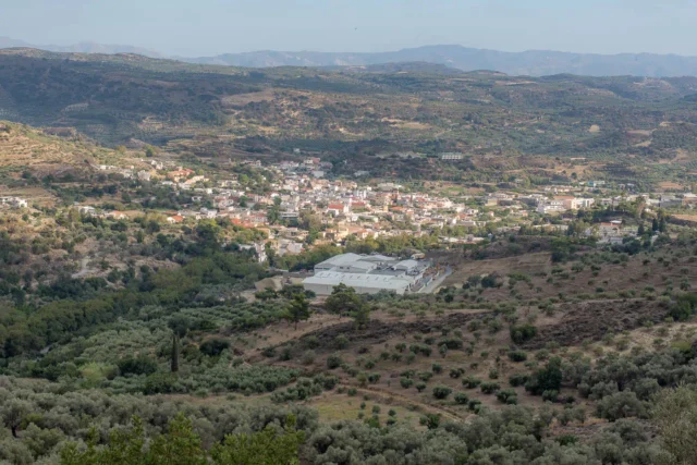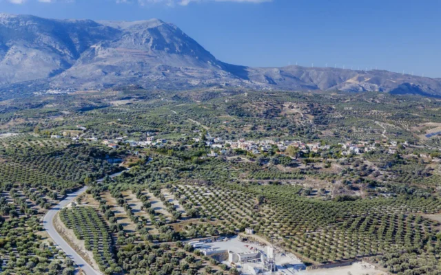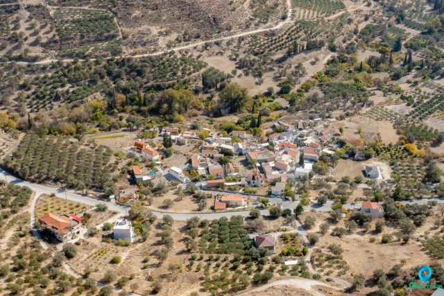
Kourtes is a deserted village located in the southern part of the Heraklion regional unit, on the island of Crete, Greece. It is situated approximately 3 kilometers south of Zaros. The name Kourtes is derived from the Byzantine Greek words “κούρτη” and “κώρτη”, originating from the Latin word “cohors-tis”, meaning “enclosed place”, “palace”, or “court”. During the Byzantine period, these words were used to denote an enclosed space, a sheepfold, or a Byzantine military detachment. The village’s name may suggest it was once a military base.
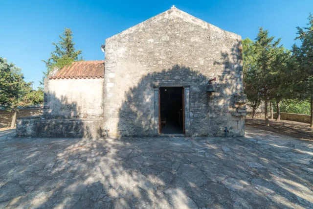
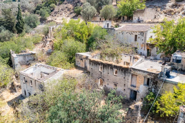
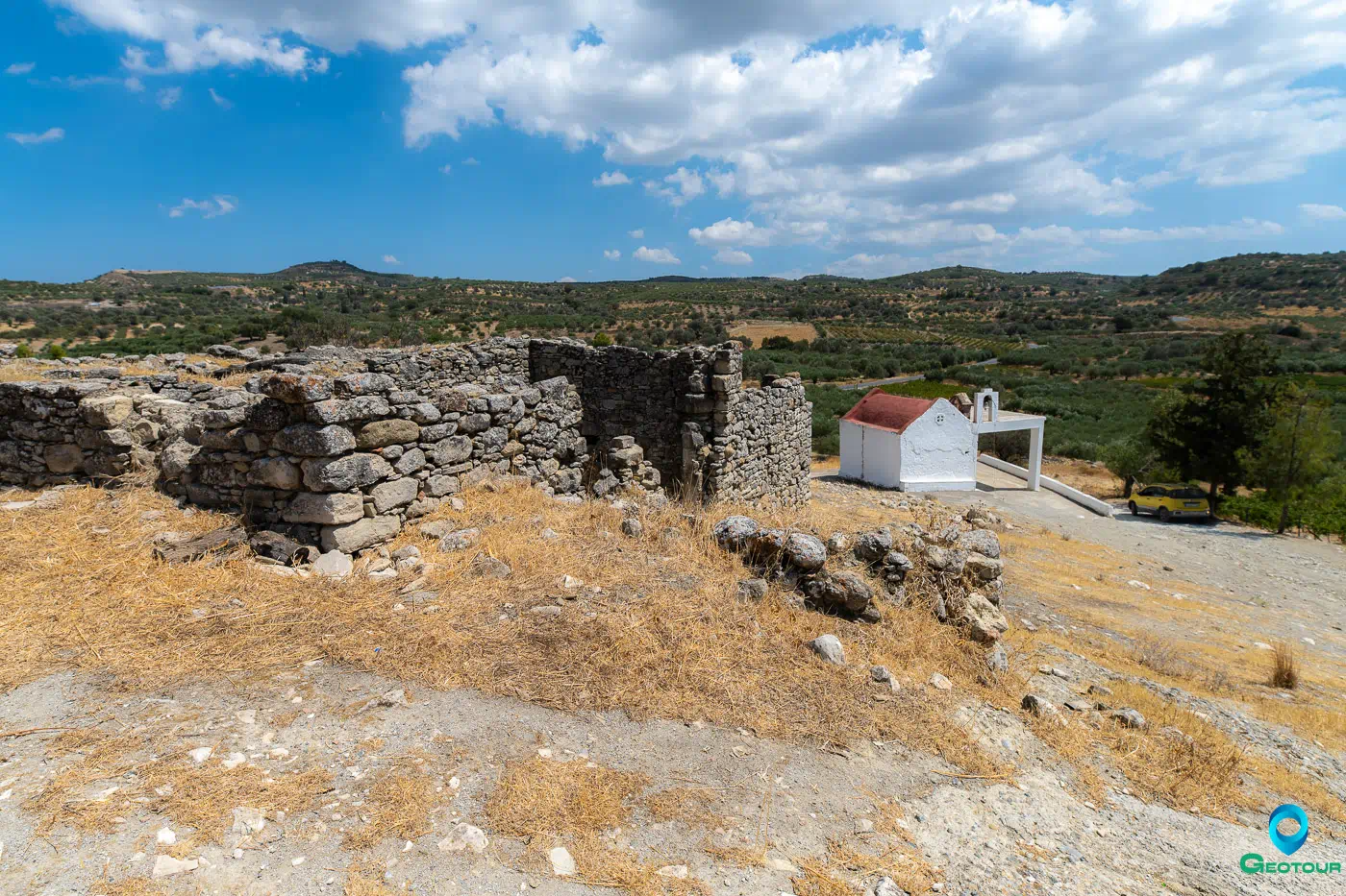
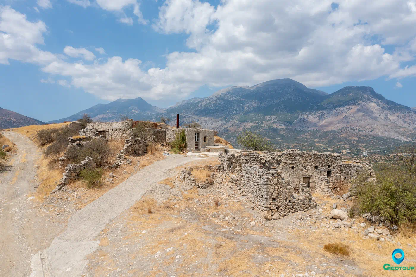
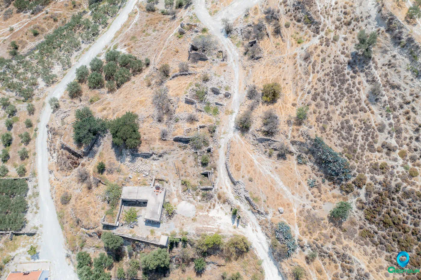
During the Ottoman occupation of Crete, the Turkish population resided in the upper part of the village (Pano Kourtes), while the Christian population lived in the lower part (Kato Kourtes). Today, the village is in ruins, with only two sections remaining: Pano Kourtes and Kato Kourtes. The only surviving structure from the middle part of the village (Mesochori) is the church of the Three Hierarchs.
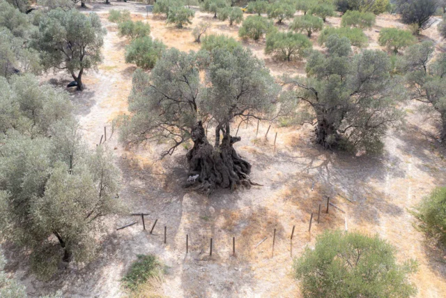
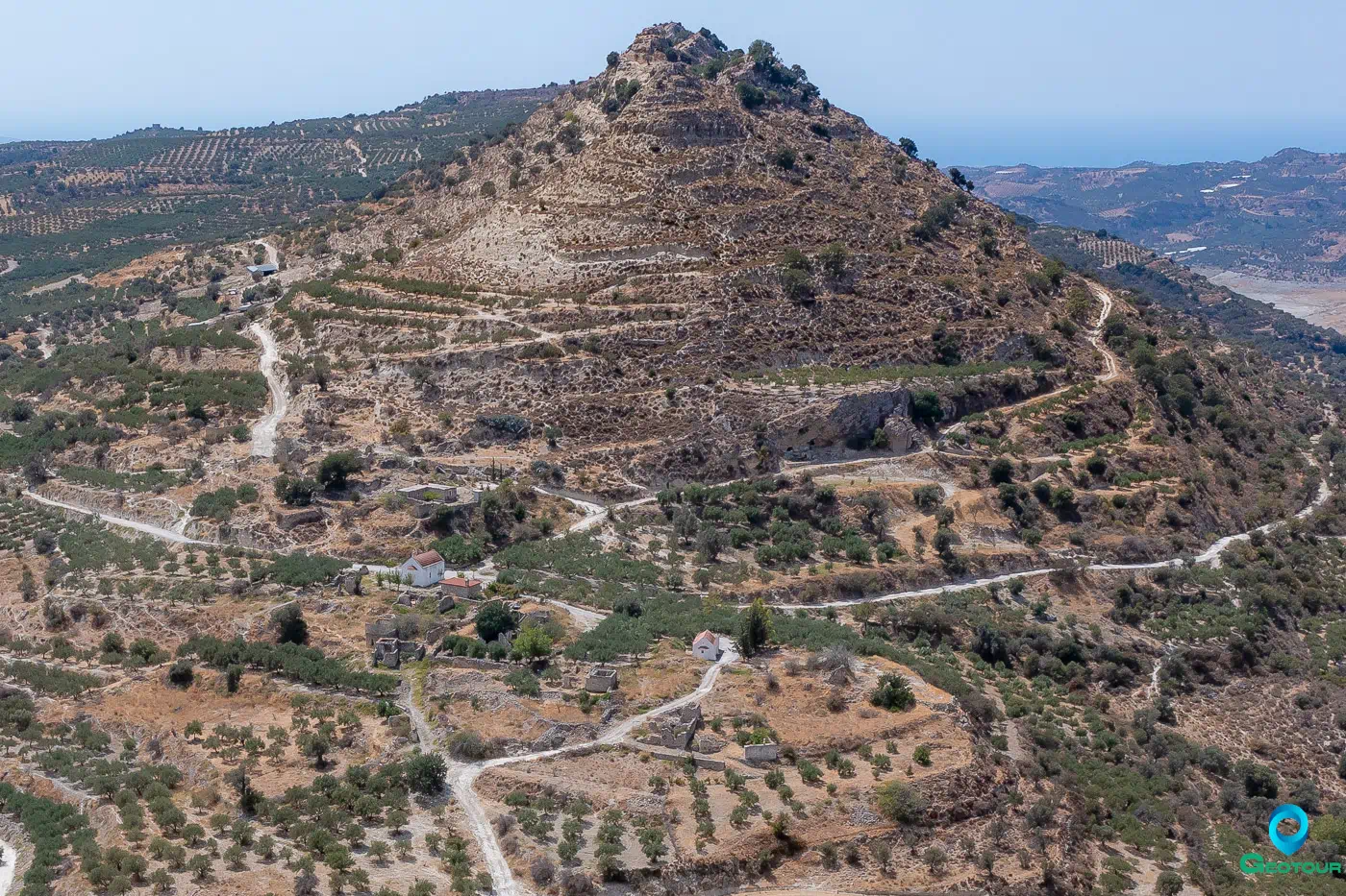
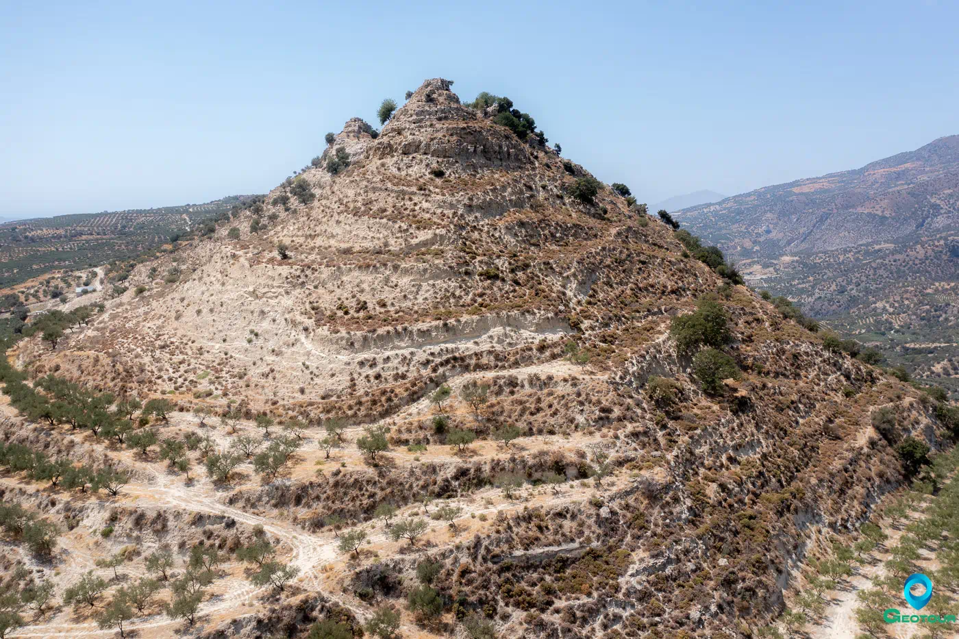
In addition to its agricultural and livestock farming activities, Kourtes had a tradition of pottery making that survived until the beginning of the 20th century. Remains of a kiln can still be found in Kato Kourtes. Significant archaeological traces and ancient tombs from the Late Minoan period have been discovered in the area south and west of the three-peaked hill of Kourtokefala.
On the eastern side of the hill, there is a well-preserved aqueduct dating back to the 1st or 2nd century AD. It consists of two small artificial caves where water drips from the depths. The water is then channeled through carved grooves into a nearby rectangular cistern.
Churches of Kourtes
- Agios Georgios (Saint George) church in Pano Kourtes
- Three Hierarchs church in Mesochori
- Christ church in Kato Kourtes
Kourtes: Key Points
- Historical references: Byzantine era, Ottoman era
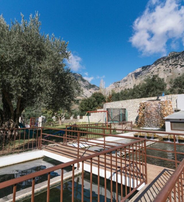
- Location: 3 kilometers south of Zaros, Crete, Greece
- Historical significance: Possible military base during the Byzantine era, pottery-making tradition
- Population data:
Year |
Population |
Notes |
|---|---|---|
1583 |
172 |
Curtes |
1881 |
150 |
150 Muslims |
1900 |
12 |
12 Muslims |
1928 |
3 |
|
1940 |
6 |
|
1951 |
0 |
|
1961 |
2 |
|
1981 |
0 |
|
1991 |
0 |
|
2001 |
1 |
|
2011 |
4 |
|
2021 |
0 |
- Current status: Deserted village with ruins remaining
References