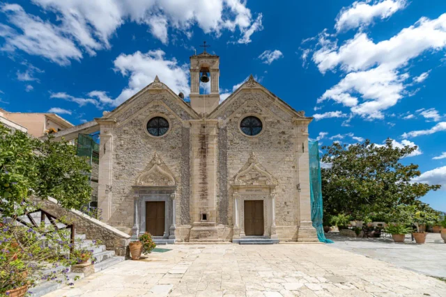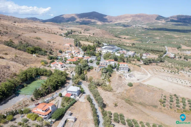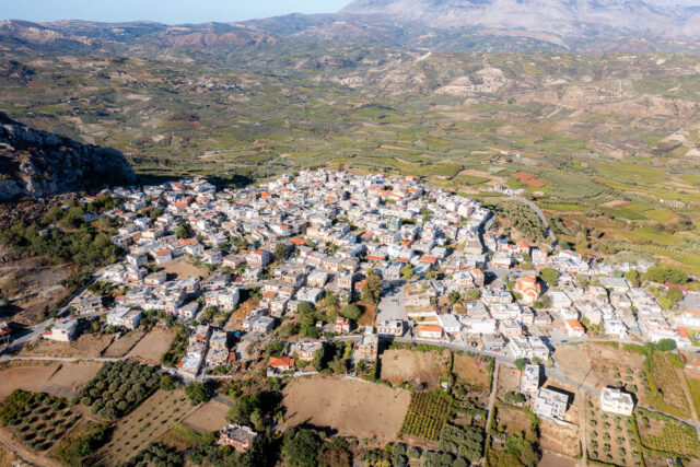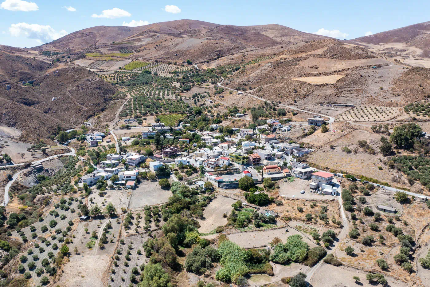
Karkadiotissa is a village situated south of Heraklion, Crete. The village’s name originates from the old church of Panagia Kardiotissa. During the Venetian era, it consisted of two settlements: Carcadiotissa Apano (Upper Karkadiotissa) and Carcadiotissa Cato (Lower Karkadiotissa).
Historical Context
The earliest reference to the settlement dates back to the Venetian period. During the Ottoman period, Karkadiotissa was inhabited by Orthodox Christians. The 1670 census records both Christian and Muslim clergy in the village, which is referred to as a sultanic hasi (estate).
A 1723 record mentions possible converts from Christianity to Islam with the title ‘Bese’, residents of the village who served in the Janissary corps. In the same record, two Muslims appear as guarantors for the loyalty of the aforementioned converts (Stavrinidis, Translations, D’, 135). By the late 19th century, the village was inhabited exclusively by Muslims.
In Karkadiotissa, as well as in the nearby villages of Arkadi and Melidochori, we can find descendants of Anogia, as evident from their names and unique accents.
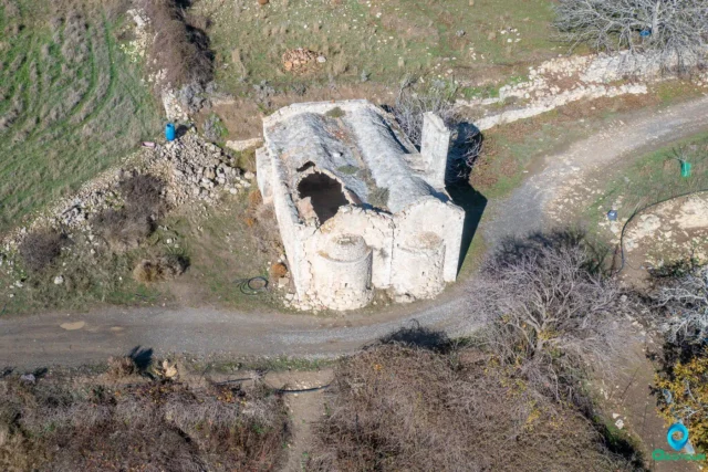
The Tower of Karkadiotissa
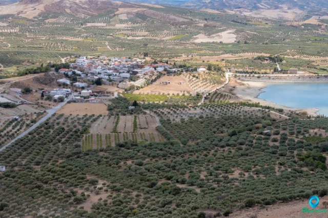
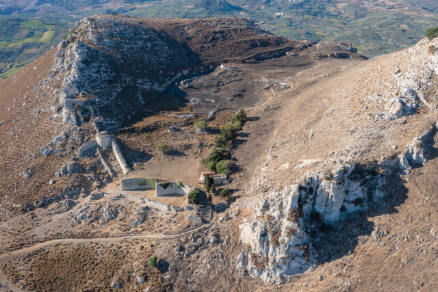
The Tower of Karkadiotissa was located on a small hill east of and directly opposite the present-day village of Karkadiotissa in the Temenos province. It was built in a location overlooking the entire valley formed between the mountains of Choudetsi and Kasteriotis, with a view of the southern side of Giouchtas and the Rock at Prophet Elias. Even a part of the city of Heraklion is visible from this point.
Today, only one wall, 8 meters high, remains of the Tower of Karkadiotissa. The other traces of the building are either buried under the soil or have been destroyed by plowing. The tower dates back to the Venetian era and resembles the tower in Kefala of Damonia. It was probably used by the local feudal lord to oversee his lands. During the Ottoman occupation of the island, when Karkadiotissa was inhabited by Muslims, the tower was likely used to protect the inhabitants from revolutionary actions.
Access to the tower is via a dirt road that starts from the main road leading to the Epanosifi Monastery, next to the last houses of the village. The road leads to a sheepfold, a little before the tower. From the sheepfold, you have to walk a few meters.
Other Landmarks
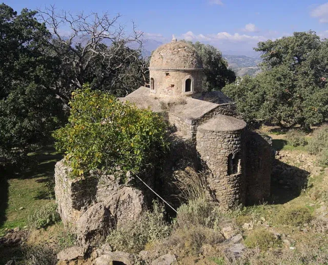
North of the village lies the old chapel of Astratigos ( Archangel Michael ), with remnants of frescoes. During the Ottoman period, it was inhabited only by Turks, numbering 116 in 1881. To the northwest of the village, the ruins of the village of Agalantes are preserved, which is mentioned in 1583 as Agalanandes with 38 inhabitants (Castrofylakas K 101).
Settlement: Key Points
- Historical References: Venetian and Ottoman periods
- Location: South of Heraklion, Crete
- Historical Significance: Presence of both Christian and Muslim clergy during the Ottoman period, the Tower of Karkadiotissa, and the old chapel of Astratigos
- Population Data: | Year | Population | |—|—| | 1583 (Carcaviotissa Catto) | 25 | | 1583 (Arcaviotes Apano) | 136 | | 1881 | 116
References