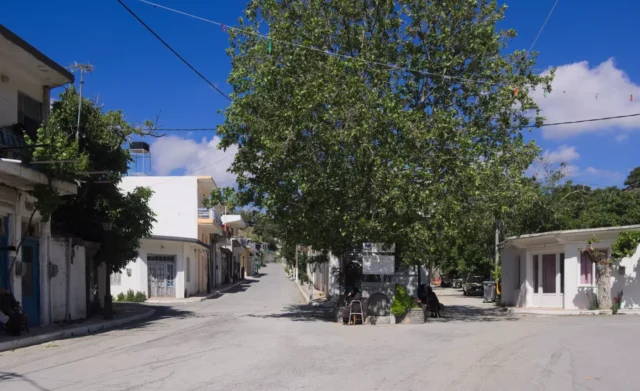
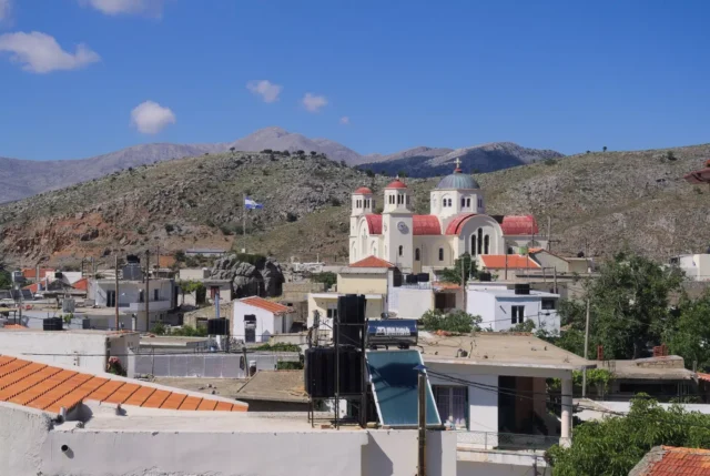
Kaminaki is a village in the Lasithi regional unit on the island of Crete, Greece. It is located on the Lasithi Plateau at an altitude of 870 meters, 46 kilometers from Agios Nikolaos. The village has a population of 222 residents (2021 census).
History
- Venetian and Ottoman Periods:
- 1364: The Venetians destroyed the villages on the Lasithi Plateau and prohibited habitation due to frequent uprisings.
- 1465: The Venetians allowed the cultivation of cereals, leading to the establishment of temporary settlements (“metochia”), which later became permanent.
- 1583: The census of Castrophylacas mentions Kaminaki as “Mettocchio Caminachi del Fauro” but does not record its population due to its seasonal habitation at that time. The name suggests the presence of a blacksmith (“fauro” in Greek) in the village.
- 1630: The census by Francesco Basilicata lists Kaminaki as “Caminachi di Lassithi.”
- 1671: The Ottoman census records Kaminaki as having 20 “haratsia” (tax-paying households).
- 1834: The Egyptian census records 30 Christian families living in Kaminaki.
- 1881: Kaminaki was part of the municipality of Psychro with 314 Christian inhabitants.
- 1920: It became the seat of a rural municipality.
- 1926: Kaminaki was designated as the seat of its own community.
- 1997: It was incorporated into the Municipality of Oropedio Lasithiou.
Powered by GetYourGuide
Origin of the Name
The exact origin of the village’s name is uncertain. The most likely explanation is that it is related to a “kamini” (furnace or chimney) belonging to the first settler, whose name was Fauro (meaning “blacksmith” in Greek).
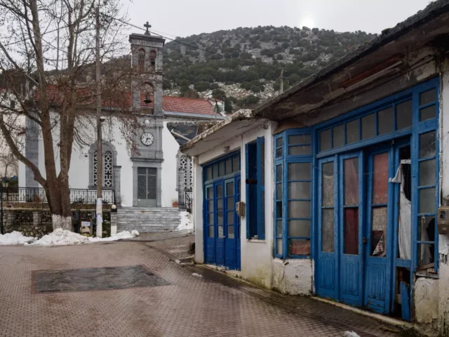
Landmarks
- Church of Agia Paraskevi: It is believed that a monastery dedicated to Agia Paraskevi existed in the village in the early 16th century, possibly located where the current village church stands.
- Kloros Valley: A scenic valley southwest of Kaminaki.
Village Key Points
- Historical References:
- 1583 census of Castrophylacas as “Mettocchio Caminachi del Fauro.”
- 1630 census as “Caminachi di Lassithi.”
- 1671 Ottoman census as “Kaminaki” with 20 “haratsia.”
- Location: Lasithi Plateau, Lasithi regional unit, Crete, Greece. 46 km from Agios Nikolaos.
- Altitude: 870 meters
- Historical Significance: Originated as a Venetian “metochi” (hamlet).
- Population:
Year |
Population |
|---|---|
1881 |
314 |
1900 |
325 |
2011 |
273 |
2021 |
222 |
- Current Status: Active village.