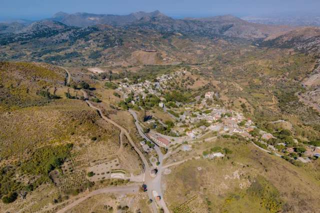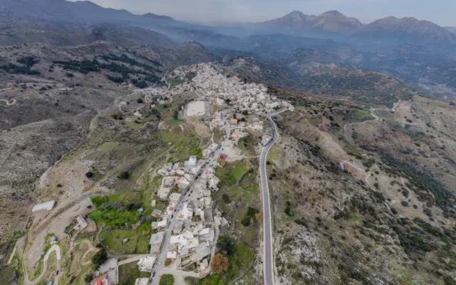
Kamariotis is a village in the Municipality of Malevizi in the Heraklion regional unit of Crete. It is situated at an altitude of 620 meters. To the west of the village, there is a small area covered with oaks, kermes oaks, and carob trees.
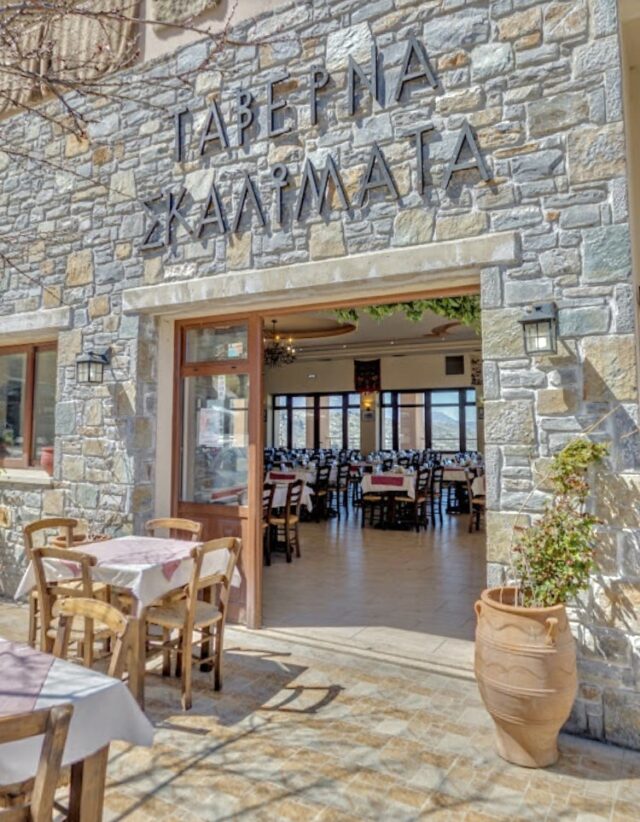
The distance from Heraklion is 29 kilometers. The main occupation in the village is viticulture. Kamariotis celebrates its festivals in April and August. In September, the tsikoudia festival takes place, with events organized by the village’s cultural association.
Historical References
Kamariotis boasts a historical lineage that stretches back to the 14th century, as evidenced by its mention in a 1396 document from the Ducal Archives of Chandakas. The village’s name, likely derived from the surname of its first settler, “Kamaridis” or “Kamariotis,” hints at its origins and the individuals who shaped its early development.
The 19th century marked a turbulent period in Cretan history, with the island striving for independence from Ottoman rule. Kamariotis was not immune to these struggles, as evidenced by the battle that took place there in 1867. This conflict, which resulted in the deaths of Greek officers, serves as a reminder of the village’s participation in the fight for freedom.
Historical Significance
Kamariotis holds a unique place in Cretan history, its narrative interwoven with the island’s Venetian, Ottoman, and modern periods. The village’s architectural heritage, including the Church of Saint George with its Venetian and Byzantine symbols, and the Church of Panagia with its 14th-century frescoes, provides tangible evidence of its historical significance.
Landmarks and Attractions
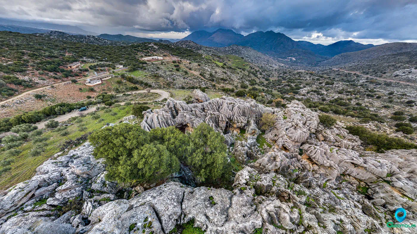
- Trypiti: A dirt road on the western exit of Kamariotis leads to Trypiti also known as Stone Cheese, where visitors can admire impressive rock formations creating labyrinths and other unusual shapes.
- Church of Saint George: A three-aisled church built in the 16th century, featuring the lion of Saint Mark and the double-headed eagle, the emblem of the Byzantine Kallergis family.
- Church of Panagia: A two-aisled Byzantine church with notable frescoes from the first half of the 14th century.
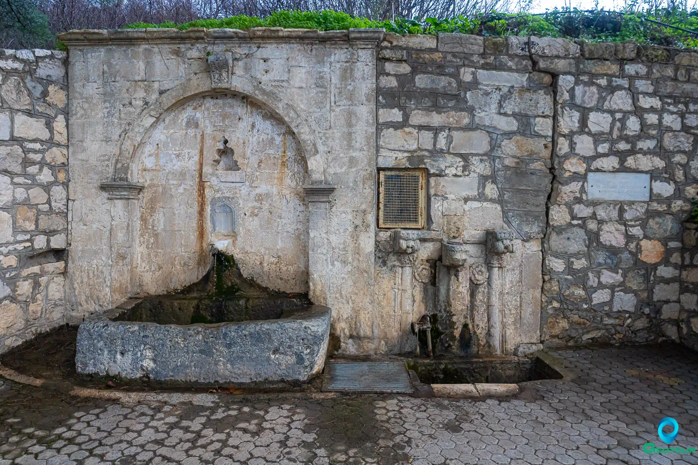
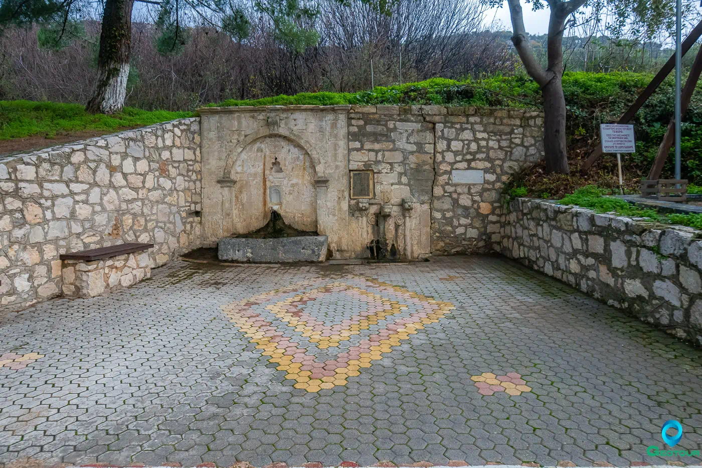
- Turkish Fountain: A remnant of the Ottoman era located in the village square.
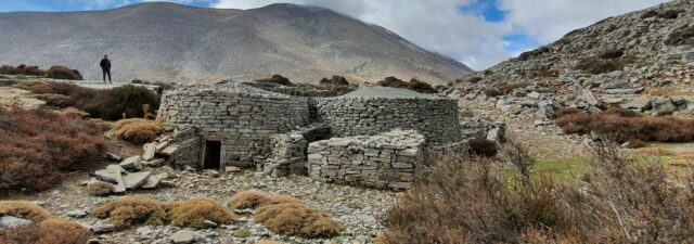
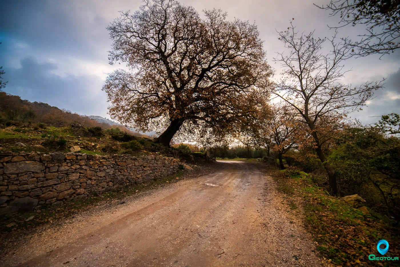
- Kremastos: A small area west of the village, rich in oaks, kermes oaks, and carob trees, with a walking trail leading to Aidonochori. This area served as a refuge for villagers during the Ottoman occupation.
Population Data Over the Years
The 1583 census recorded 237 inhabitants, suggesting a thriving community during the Venetian era. Subsequent centuries likely saw fluctuations due to various factors, including migration, economic changes, and historical events.
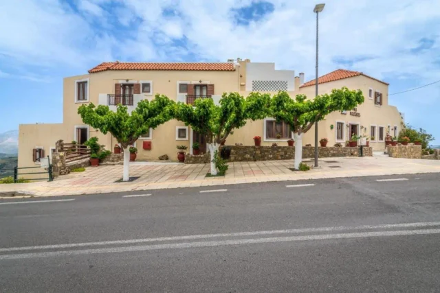
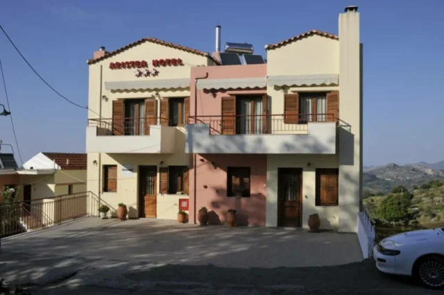
The modern era has witnessed a trend of depopulation in many Cretan villages, including Kamariotis. However, recent years have seen a positive shift, with residents returning and renovating old stone houses, breathing new life into the community.
Year |
Population |
Notes |
|---|---|---|
1583 |
237 |
|
1881 |
218 |
Christians, also mentions Metochia with 170 Christians |
1900 |
272 |
also mentions Metochia Kamarioti with 177 |
1920 |
307 |
also mentions Metochia Kamarioti with 192 |
1928 |
367 |
|
1940 |
475 |
|
1951 |
352 |
|
1961 |
325 |
|
1971 |
183 |
|
1981 |
175 |
|
1991 |
55 |
|
2001 |
78 |
|
2011 |
48 |
|
2021 |
34 |
Current Status
Kamariotis is currently experiencing a revitalization, driven by a renewed appreciation for its historical and natural treasures. The village’s picturesque setting, traditional architecture, and cultural events are attracting visitors seeking an authentic Cretan experience.
The restoration of old stone houses and the development of tourism infrastructure are contributing to the village’s economic growth. The annual festivals, organized by the local cultural association, provide opportunities for community engagement and the celebration of local traditions.
Village Key Points
- Historical References: Kamariotis is first mentioned in a 1396 document from the Ducal Archives of Chandakas as “Camarioti.” In 1583, it appears in the census of Castrofylakas as “San Zorzi Camarioti” with 237 inhabitants. In the early 17th century, it was a fief of the Cretan Markos Papadopoulos, founder of the Holy Trinity Monastery in Areti Mirabello.
- Location: Situated in the Malevizi municipality, Heraklion regional unit, Crete, at an altitude of 620 meters. It is 29 kilometers from Heraklion.
- Historical Significance: Kamariotis has historical ties to the Venetian and Ottoman periods. It was once part of the Mylopotamos province until 1950. The village was also the site of a battle against the Turks in 1867. Additionally, it has connections to the story of Evmenia Voria, who became a favorite of Sultan Mehmed IV and mother of two sultans.
- Current Status: The village is experiencing a revival as residents return and renovate old stone houses. It attracts visitors with its natural beauty, historical sites like the Church of Saint George and the Church of Panagia, and cultural events such as the tsikoudia festival.