Kalonyktis (Καλονύκτης), known as Kalonychti until 1940, is a village in the regional unit of Rethymno. According to local tradition, the name originates from an event in 961 CE involving the Byzantine general Nikephoros Phokas. After recapturing Handakas (modern-day Heraklion) from the Arabs, his army camped on a hill near the present-day village. When an officer asked him how he spent the night, Phokas reportedly replied, “Kalón nýktion epérasa,” meaning “I had a good night.” This is said to have given the village its name. An alternative belief is that the village existed before this time under the name Leventochori.
Geography and Economy
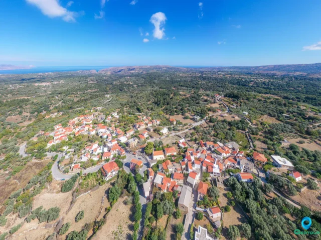
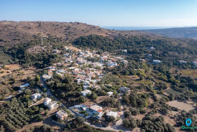
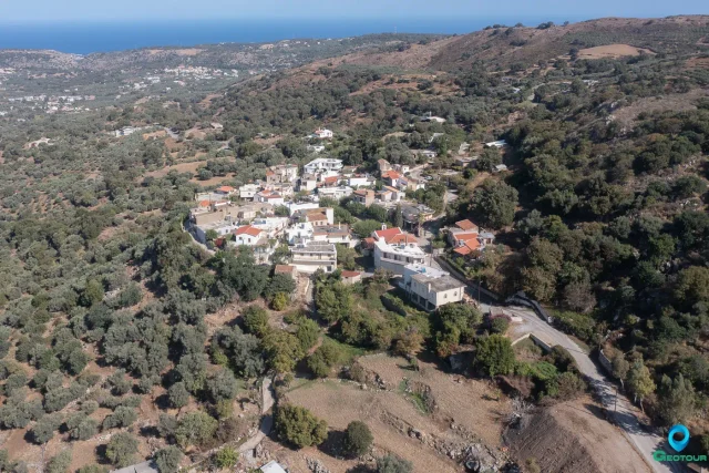
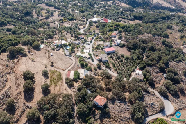
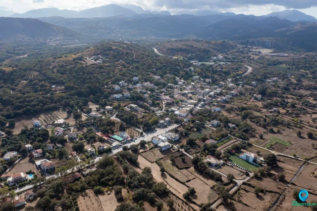
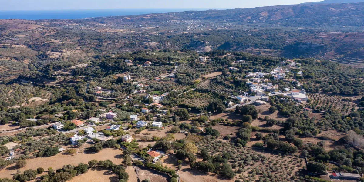
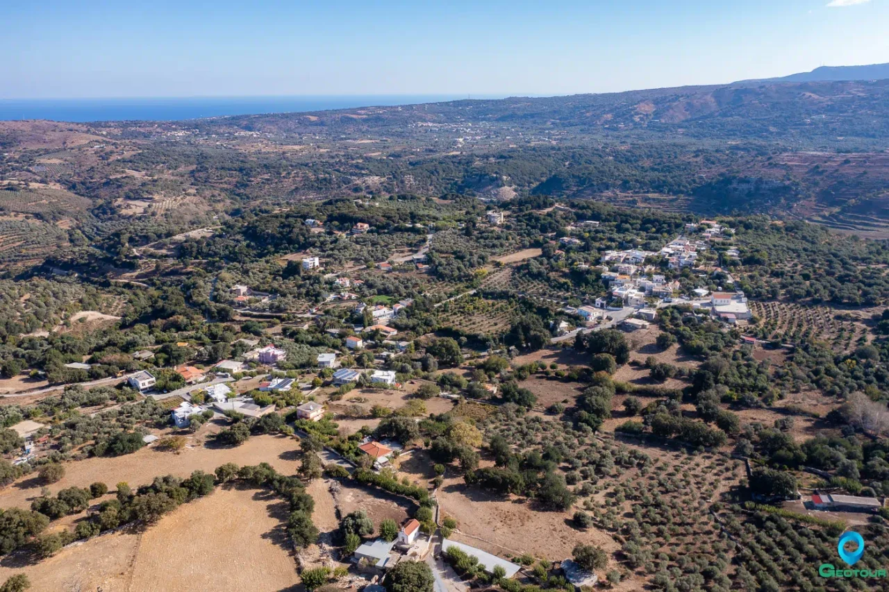
The village is located 15 kilometers west of the city of Rethymno, at an altitude of 270 meters. It has an area of 2.9 square kilometers and is situated between three rivers: Vitali, Nerantze, and Petre. The Petre river, the largest in the Municipality of Rethymno, flows through a part of the village, along with its tributary, the Avlediaris. The primary agricultural products of the area include olive oil, raki, wine, carobs, and livestock products. In recent years, avocado cultivation has also been introduced.
History
The first historical references to Kalonyktis date back to the Venetian period. In 1651, it was recorded as a dependency (metochi) in the Rethymno administrative area. During the Egyptian census of 1834, it was listed with six Christian and five Muslim families.
The village played a role in various conflicts. A significant victory against Ottoman forces occurred in the area on June 17, 1821. During the Cretan Revolutions between 1866 and 1897, twenty-one residents of Kalonyktis were killed. The battle of Kalonyktis took place on December 9, 1868, and the battle of Agiasmatsi occurred in 1878.
Administratively, the village’s status has changed multiple times. In 1879, it became part of the Municipality of Roustika. In 1925, it was attached to the community of Roustika. With the 1997 Kapodistrias reform, it was incorporated into the Municipality of Nikiforos Fokas, and since the 2010 Kallikratis plan, it has been a local community within the Municipal Unit of Nikiforos Fokas in the Municipality of Rethymno.
Monuments and Infrastructure
- Koules of Agiasmatsi: This is an Ottoman observation tower located on a hill near the village. It was constructed after the Cretan Revolution of 1866 as part of a network of towers designed to control revolutionary activities. Its walls are preserved to a considerable height.
- Venetian Mill: A Venetian-era watermill exists in the area, though it is no longer operational.
- Primary School: A single-classroom school operated from 1925 until 2011. The building now serves as the headquarters for the local cultural association. Before 1925, students from the village attended school in Roustika.
- Tower of Patrosifis: Also known as the Tower of Syngelos, this is a Venetian structure that was later completed by the Ottomans.
- Churches: The main parish church is the Church of the Nativity of the Theotokos, which dates to the Venetian period and celebrates on September 8th. According to a local story, when Ottoman soldiers attempted to desecrate the church, they were frightened away by sparks from the Holy Altar and the appearance of a large bee. Other religious sites include the old chapel of Michael Archangelos, which belongs to the Profitis Ilias Monastery in Roustika, and a private chapel dedicated to Agios Nektarios.
Culture
The village has two cultural associations. The “Panagia i Kalonychtiani” was founded in Athens in 1988 by expatriates from the village. A local association, “O Nikiforos,” was established in Kalonyktis in 2014.
Sports
A football team, A.P.S. Kalonykti, was founded in 1993 and competed in local Rethymno leagues until 2013. The team’s home ground is named “Stavros Stavroulakis.” Since 2014, an annual road race called the “Nikiforeios Dromos” has been held in honor of Nikephoros Phokas.
Settlement: Key Points
- Location: 15 km west of Rethymno, Crete.
- Altitude: 270 meters.
- Historical References: First mentioned in the Venetian period (16th-17th centuries). Site of battles during the Cretan Revolutions (1866-1897).
- Historical Significance: The name is traditionally linked to the Byzantine general and future emperor Nikephoros Phokas (961 AD). An Ottoman-era watchtower (Koules) is a significant local monument.
- Current Status: A local community within the Municipal Unit of Nikiforos Fokas, Municipality of Rethymno.
- Population Data:
Year | Population | Notes |
1583 | 82 | as Calinicte |
1881 | 121 | 106 Christians, 15 Muslims |
1900 | 144 | |
1920 | 152 | |
1928 | 160 | |
1940 | 204 | |
1951 | 177 | |
1961 | 173 | |
1971 | 152 | |
1981 | 144 | |
1991 | 181 | |
2001 | 201 | |
2011 | 222 | |
2021 | 209 |