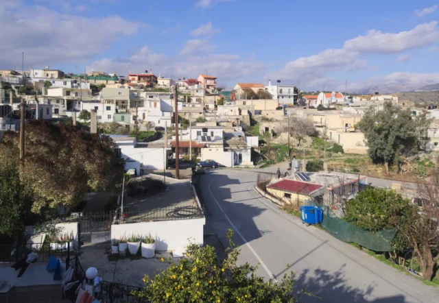
Demati is a village in the Heraklion regional unit on the island of Crete, Greece.
Location
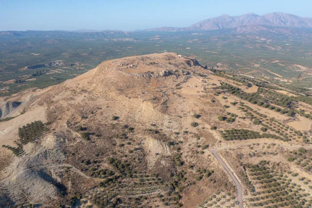
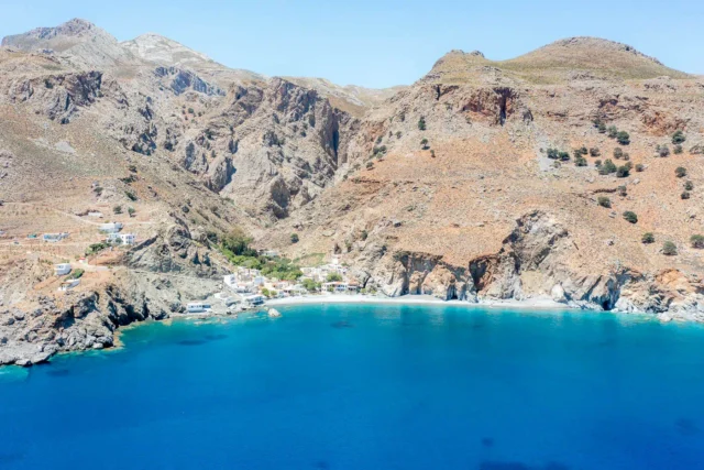
It is part of the municipality of Minoa Pediada and is located 53.8 km from Heraklion. The village sits on a hill in the northern foothills of Mount Chousakas in the Asterousia Mountains, at an altitude of 507 meters. A wooded area with cedar trees lies to the southeast of the village. Demati is accessible via a branch road that goes Arkalohori-Mousouta-Poulies-Skinias-Demati, near the right bank of the Anapodaris river.
History
The earliest mention of Demati dates back to the Venetian era, specifically to the 1577 census by Barozzi, where it is recorded as “Dhemati” with 50 inhabitants. During the Ottoman period, the village was inhabited by both Muslims and Christians, with the latter becoming the majority in the 19th century.
The name Demati likely originates from the idea of the village being formed by the union of smaller settlements, much like a sheaf of wheat is bound together.
Economy
The inhabitants of Demati are primarily engaged in olive growing and viticulture. The village has a single-teacher primary school and a kindergarten.
Landmarks
- Church of the Holy Cross (Timios Stavros)
- Church of Agios Georgios (Saint George)
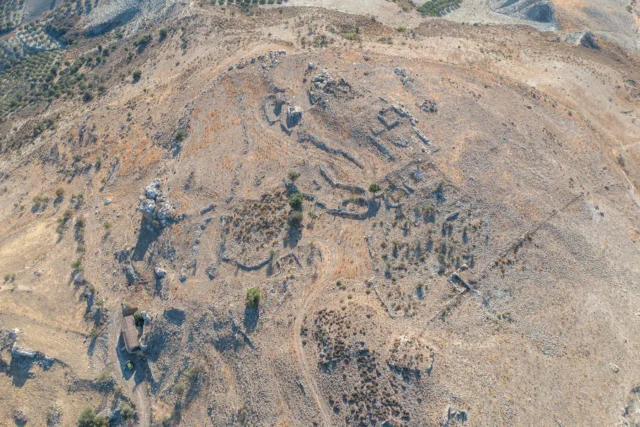
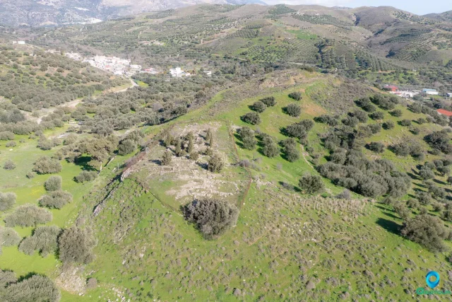
- 15th-century Byzantine monastery dedicated to Agioi Paraskevi, Taxiarches, and Markos
- Anapodaris gorge with an old watermill at its entrance
- Venetian bridge
Settlement: Key Points
- Historical references: Venetian censuses (1583)
- Location: Northern foothills of Mount Chousakas, Asterousia Mountains, Crete, Greece.
- Historical significance: Likely formed from the union of smaller settlements.
- Population data:
Year |
Population |
Notes |
|---|---|---|
1583 |
50 |
as Dhemati |
1881 |
185 |
182 Christians, 3 Muslims |
1900 |
252 |
|
1928 |
300 |
|
1940 |
350 |
|
1951 |
402 |
|
1961 |
513 |
|
1971 |
518 |
|
1981 |
507 |
|
1991 |
417 |
|
2001 |
391 |
|
2011 |
268 |
|
2021 |
280 |
- Current status: An active village with a primary school and a kindergarten.
References