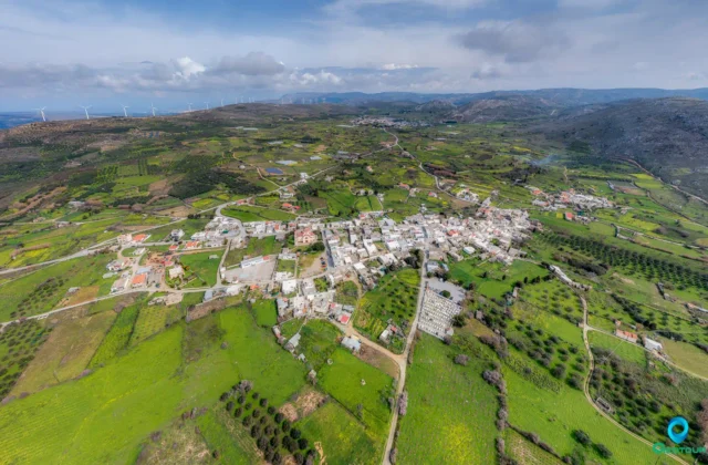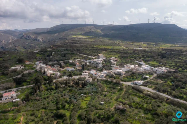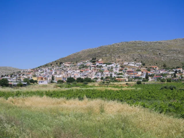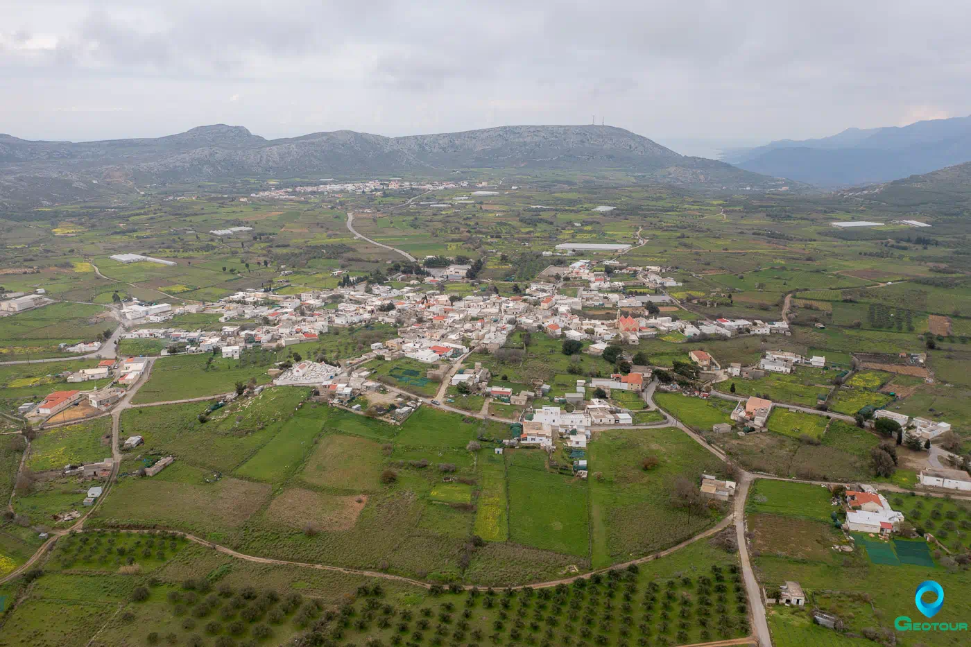
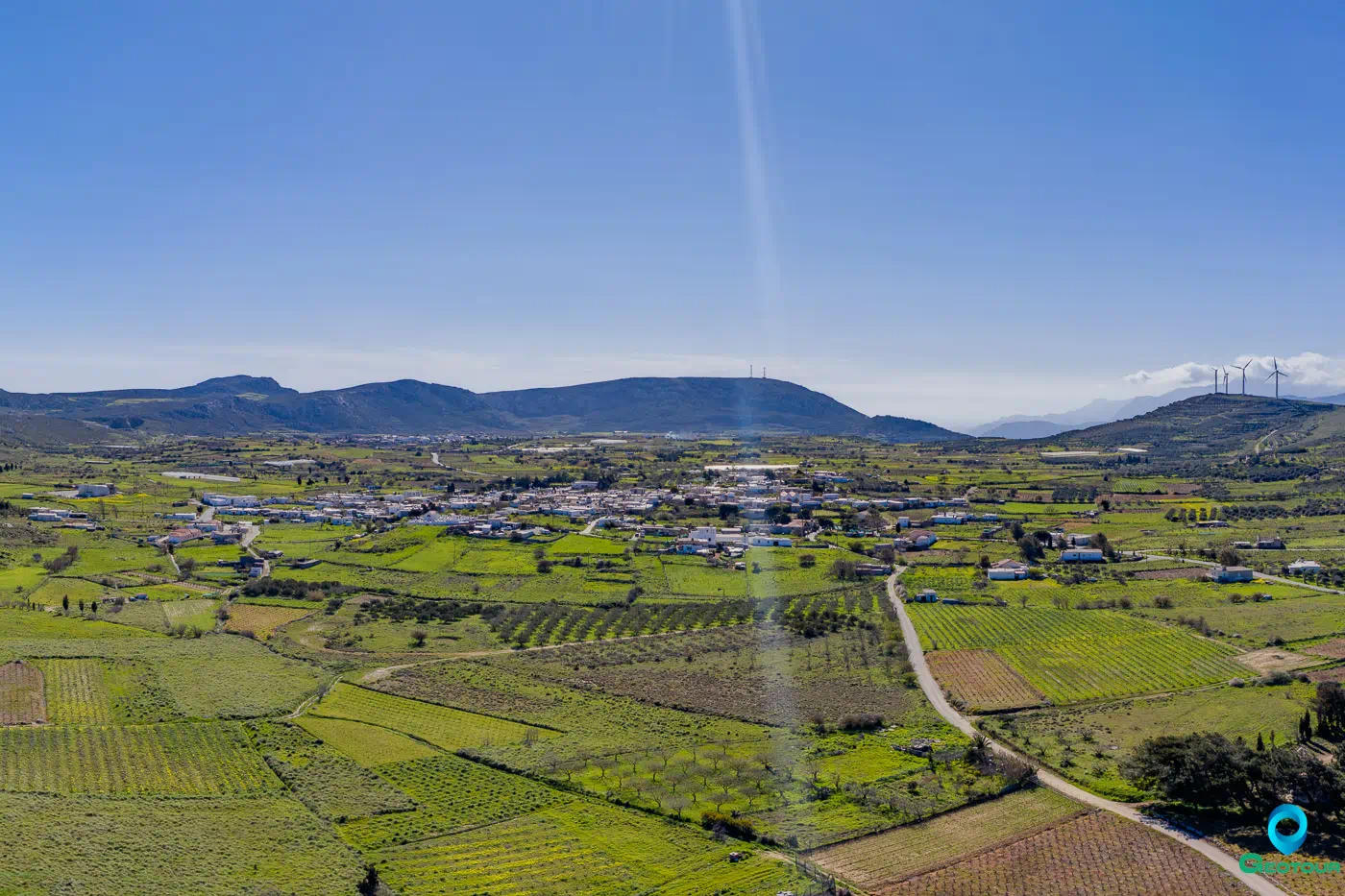
Chandras (or Handras) is a village and the seat of the namesake community of the municipality of Siteia in the Lasithi Regional Unit in Crete. It is situated at an altitude of 580 meters, about 30 kilometers south of Sitia. The village lies on the northeastern edge of a small plateau, which is also home to the settlement of Armenoi, and for this reason, it is known as Armenohandrades. Approximately 2 kilometers northeast of Chandras is the abandoned medieval settlement of Voila.
Historical Overview
Chandras was likely established during the period of Arab rule or the Saracens. The name Chandras is believed to have Arabic origins, meaning “green,” referring to the plateau. It was mentioned by Francesco Barozzi in 1577 as Ghandra. In the 1583 census by Kastrofylakas, it was recorded as Candra with 403 inhabitants. The 1834 census refers to it as Khandra with 22 Christian and 7 Turkish families. By the 1881 census, it was called Chandras with 458 Christian residents and 29 Turks.
Points of Interest
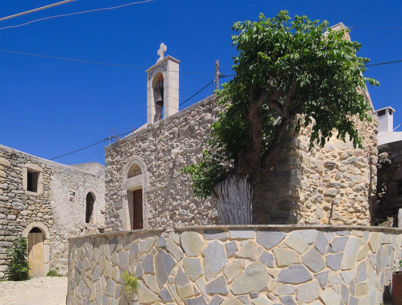
The central part of the village, the old core known as “Mesochoria,” houses the churches of Agios Dimitrios (Saint Demetrius) and the Assumption of the Virgin Mary. This part of the settlement once had an Ottoman hammam, of which remnants remain, along with a Renaissance fountain and buildings with Venetian influences. The village also has a folklore museum. In the northern part of the settlement stands the church of Agios Haralambos (Saint Charalambos), featuring a neoclassical bell tower.
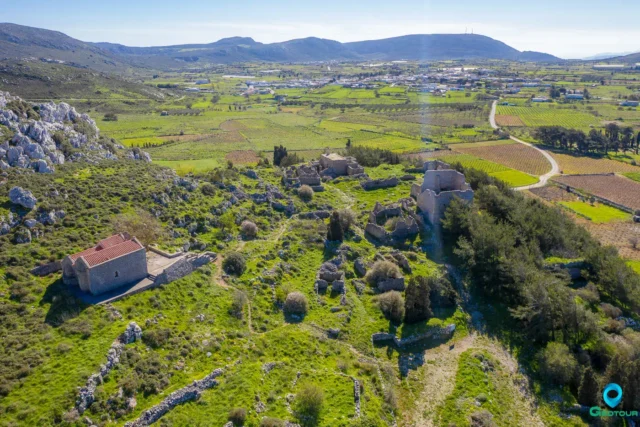
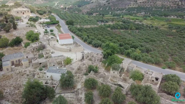
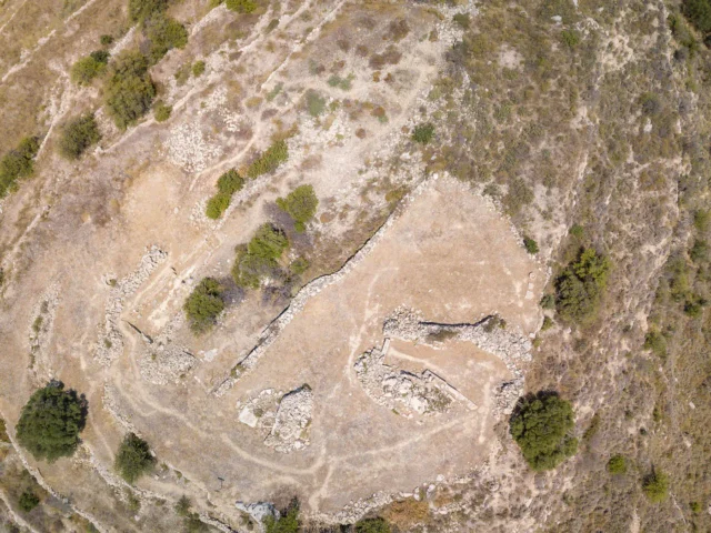
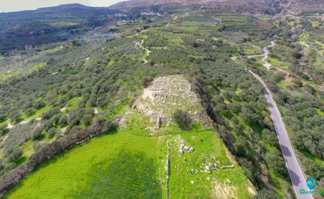
A short distance away lies the ancient village of Voila, now abandoned, which preserves monuments from the Venetian and Ottoman periods.
Administrative Information
Chandras was officially recognized after Crete’s union with Greece in 1925. According to the Kallikratis plan and the Kleisthenes I amendment, it forms, along with the settlements of Agios Panteleimonas (Saint Panteleimon) and Katelionas, the community of Chandras. This community falls under the municipal unit of Lefki in the municipality of Sitia.
Settlement: Key Points
- Historical References: Mentioned as Ghandra in 1577 and Candra in the 1583 census.
- Location: Lies on the northeastern edge of a small plateau, known as Armenohandrades, about 30 kilometers south of Sitia.
- Historical Significance: Likely founded during the Arab rule or the Saracen period.
- Population Data:
Year |
Population |
Notes |
|---|---|---|
1583 |
403 |
as Ghandra |
1881 |
487 |
458 Christians, 29 Muslims |
1900 |
438 |
|
1928 |
532 |
|
1940 |
609 |
|
1951 |
571 |
|
1961 |
557 |
|
1971 |
433 |
|
1981 |
445 |
|
1991 |
358 |
|
2001 |
309 |
|
2011 |
226 |
|
2021 |
192 |
References