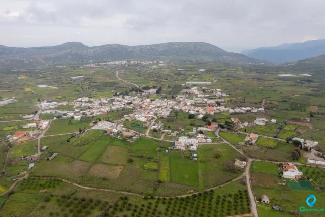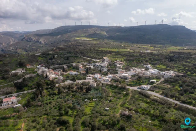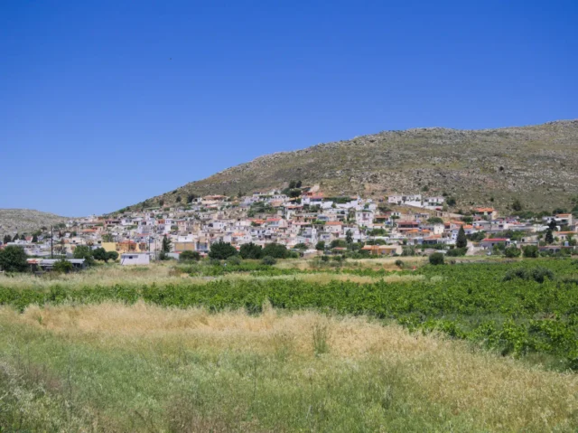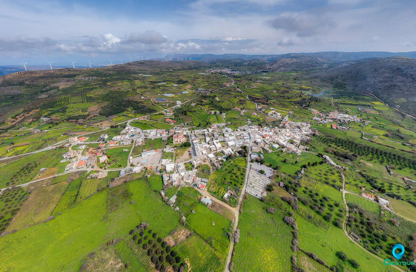
Armenoi is a village and seat of the community of the same name in the municipality of Sitia, in the regional unit of Lasithi, in eastern Crete.
Location
Armenoi is located in the small plateau of the Armenohandrades, where the village of Handras is also located. It is built at an altitude of 560 meters, 28.7 kilometers south of Sitia. A torrent divides it into Pera and Ponde Chorio.
History
Stergios Spanakis mentions that Armenoi was inhabited by Armenian soldiers after the recapture of Crete by Nikephoros Fokas in 961. The village is mentioned by Francesco Barozzi in 1577 as Armenus in the province of Sitia. In the Venetian census of 1583 by Castrofylakas, it is referred to as Armenus with 428 inhabitants. With the same name, it is also mentioned by Basilicata in 1630 and in the Turkish census of 1671, with 78 haratsa. The village is mentioned in the Egyptian census of 1834 as Armeni with 20 Christian and 8 Turkish families. The village was destroyed by an earthquake in 1856. In 1881 it had 246 inhabitants, all Christians, and belonged to the municipality of Handras.
Points of Interest
Churches
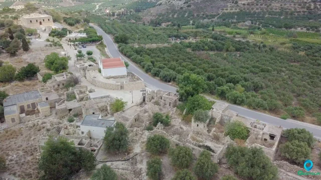
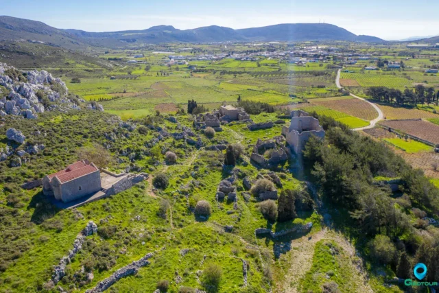
Two Byzantine churches are preserved in the village, the Koimisis tis Theotokou (Dormition of the Virgin Mary) and the Agios Georgios (Saint George). The church of Koimisi was set on fire by the Turks in 1829 and then they covered the remaining frescoes with lime. The signature of the painter, M. Kornaros, year 1570, is preserved.
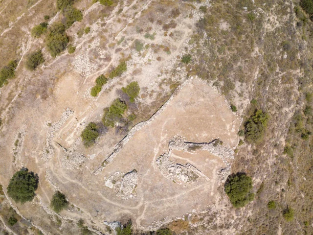
Monastery of Agia Sofia
Near the western end of the plateau is the monastery of Agia Sofia (Holy Wisdom). The monastery dates back to Venetian times. The date 1634 is engraved on the lintel of the temple, which may refer to the renovation of the temple. The temple is located in the center of the monastery and is a single-aisled vaulted building. Its nave has been extended to the west. The monastery buildings were restored in the 19th century by Osios Joseph Gerontogiannis. In 1870 a school started operating in the monastery. In 1884, after the school closed, the renovation of the monastery was continued by Gennadios Mitakis, who later became a monk in it. In 1900 it was deemed dissolvable and its facilities were granted to the parish of Armenoi.
Settlement: Key Points
- Historical References: Stergios Spanakis (date unknown), Francesco Barozzi (1577), Venetian census (1583), Basilicata (1630), Turkish census (1671), Egyptian census (1834)
- Location: Eastern Crete, 28.7 kilometers south of Sitia, in the Armenohandrades plateau
- Historical Significance: Possibly inhabited by Armenian soldiers in 961, destroyed by an earthquake in 1856
- Population Data:
Year |
Population |
Notes |
|---|---|---|
1583 |
428 |
as Armenus |
1881 |
246 |
246 Christians, 0 Muslims |
1900 |
371 |
|
1920 |
350 |
|
1928 |
428 |
|
1940 |
506 |
|
1951 |
459 |
|
1961 |
523 |
|
1971 |
466 |
|
1981 |
381 |
|
1991 |
323 |
|
2001 |
338 |
|
2011 |
273 |
|
2021 |
245 |
- Current Status: Inhabited, with a population of 245 as of 2021
References