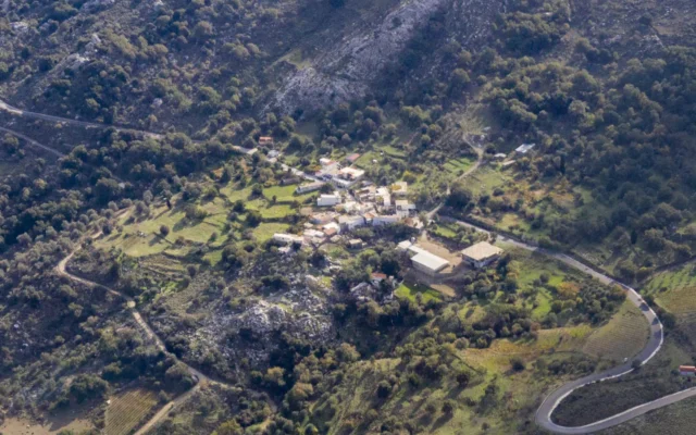
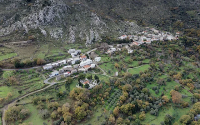
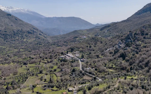
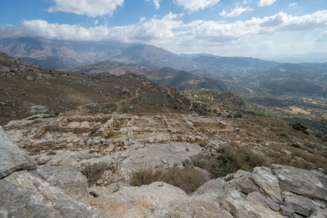
Ano Meros is a village and the seat of its namesake community in the Amari Municipality, situated within the Rethymno regional unit of Crete, Greece. The village is located on the northeastern slopes of Mount Kedros (also known as Kentros) at an altitude of 580 meters, approximately 45 kilometers from Rethymno.
History
The village is first mentioned in historical records in 1577 by Francesco Barozzi as “Anomeros.” It appears with the same name in the 1583 Venetian census by Kastrofylakas, recording 63 inhabitants, and again in the 1630 census by Basilicata. The 1834 Egyptian census noted a purely Christian population in the village, with 50 Christian families residing there. In the 1881 census, it was part of the Municipality of Apoudoulos and had 441 Christian inhabitants. By 1900, the population had grown to 533. In the 1920 census, it was listed as the seat of its own community. Ano Meros remained the seat of its community until the Kapodistrias administrative reform, when it was incorporated into the Municipality of Syvritos in 1997.
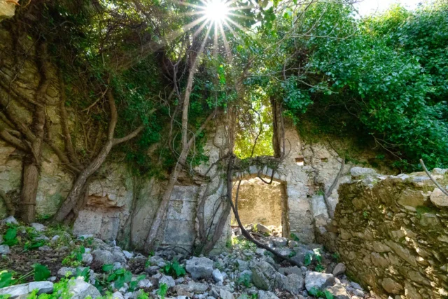
Tragically, the village was destroyed by German forces on August 22, 1944. In the early morning hours, the Germans surrounded the village, gathered the residents in the school, and separated them into men and women and children. After instructing the women to gather their belongings within an hour, they were forced to leave for the village of Drygies. Thirty men were selected from the group and later executed. The Germans then proceeded to destroy 200 buildings in the village, including the church and the school, and killed an additional eight people – five elderly men and three women. The village was rebuilt after the war.
Landmarks
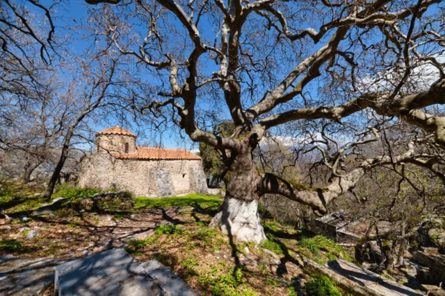
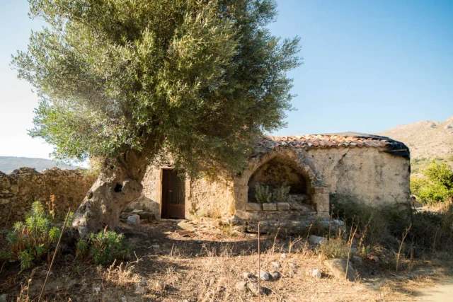
- Monastery of Kaloeidena: A road from the village leads to the abandoned Monastery of Kaloeidena, dedicated to the Transfiguration of the Savior. The small, late Byzantine church is located in a picturesque area with springs and large plane trees. A large festival is held there annually on August 6th, the feast day of the church.
- Historical and Folklore Museum: Ano Meros has a small historical and folklore museum exhibiting objects from the village’s daily life up to and after the mid-20th century.
Economy
The village’s economy relies on agricultural and livestock products, particularly olives and grapes.
Administrative Status
Ano Meros was officially recognized as a settlement in 1925 and designated the seat of its newly established community. It remained the seat of the community until the Kapodistrias reform in 1997. Under the Kallikratis plan and its subsequent amendment, Ano Meros, along with Drygies and Chordaki, form the Ano Meros community, which belongs to the Sybritos municipal unit within the Amari Municipality.
Village Key Points
- Historical References: Mentioned in historical records from 1577 onwards
- Location: Northeastern slopes of Mount Kedros, Amari Municipality, Rethymno regional unit, Crete, Greece
- Dimensions: Village
- Historical Significance: Destroyed during WWII, site of resistance activities, home to notable figures
- Population data over the years:
Census Year |
Population |
|---|---|
1900 |
533 |
1920 |
557 |
1928 |
490 |
1940 |
572 |
1951 |
463 |
1961 |
455 |
1971 |
333 |
1981 |
341 |
1991 |
294 |
2001 |
301 |
2011 |
209 |
- Current Status: Village and seat of the Ano Meros community, known for its traditional architecture, agricultural activities, and historical significance.