Agios Georgios (Tourtoloi) is a village and the seat of the homonymous community in the municipal unit and municipality of Sitia, in the regional unit of Lasithi (formerly prefecture), in the region of Crete. Before the Kapodistrias Plan and the Kallikratis program, it belonged to the province of Sitia in the prefecture of Lasithi, in the geographical region of Crete. Until 1955, the settlement was named Tourtouloi. The settlements of Epano Episkopi and Sotira also belong to the local community of Agios Georgios.
Geography
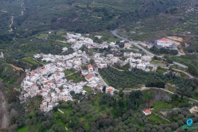
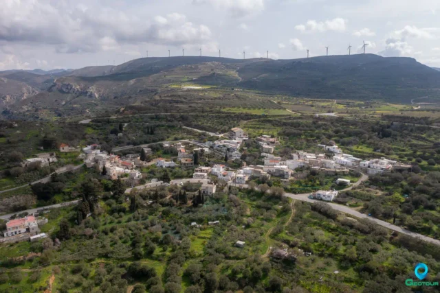
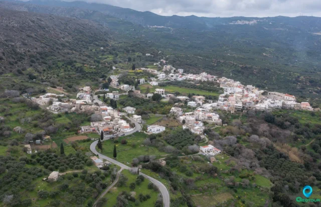
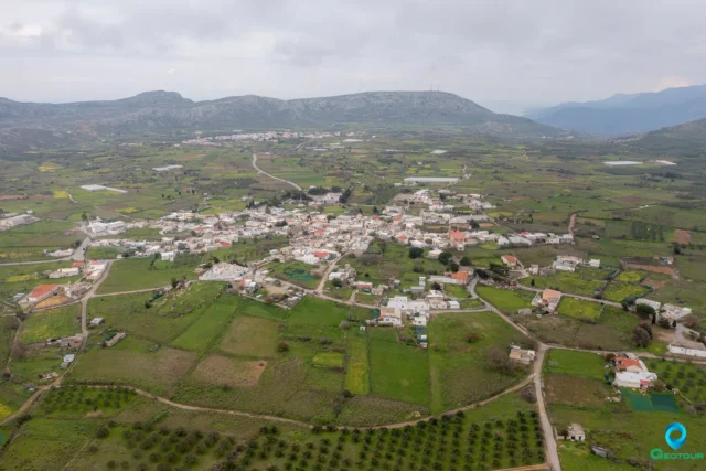
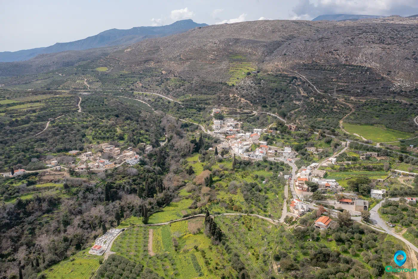
Agios Georgios is located in the eastern part of the Lasithi regional unit, on the eastern foothills of Mount Ornos and above the valley of the Pentelis River. It lies on the Sitia-Ierapetra provincial road, at an average elevation of 320 meters. It is approximately 85 km east-southeast of Agios Nikolaos. The local community is classified as a rural semi-mountainous settlement, with an area of 8.657 km².
History
The old name of the village, Tourtouloi, possibly originates from the Venetian family Turtullo, as a document from 1280 mentions a Petrus Turtullo. In the Venetian census of 1583, the village is recorded as Turtulus with 111 inhabitants. In the same census, the now abandoned settlement of Drapanoi (Drapanus), located between Agios Georgios and Sykia, is mentioned with 39 inhabitants.
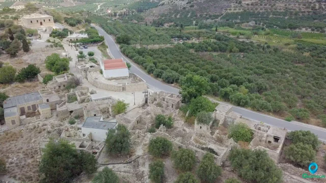
During the Ottoman rule, Tourtouloi was the base of the tyrant Afentakakis, an Albanian by origin, who was the general derbenagas of the area with political, judicial, and religious powers. In 1821, he ordered a general massacre of the Christians in his region and is said to have killed more than 700 people, including 300 in Tourtouloi. Ruins of his house still exist.
The village was renamed Agios Georgios in 1955. The Holy Church of Agios Georgios, the patron saint of the village, was built during the Ottoman period. The renaming occurred because the Christians and their ancestors had special reverence for Saint George, believing he saved the village from the Ottoman yoke.
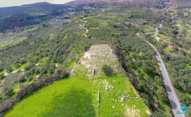
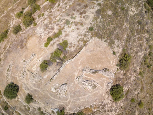
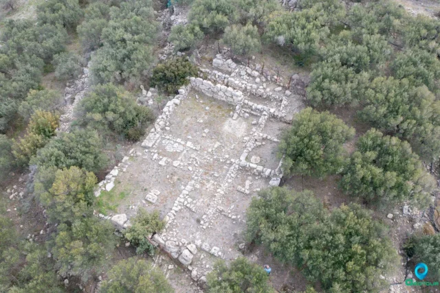
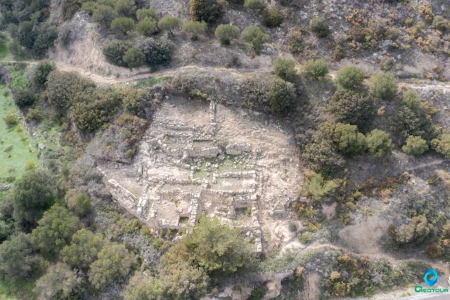
The area of Agios Georgios is considered archaeologically significant. Minoan and Geometric cemeteries were discovered in the Mantalia hill area, and a Minoan villa with 30 rooms, possibly two-storied, was found in the Prophet Elias area. Various types of vessels, a clay linos (wine press), a potter’s wheel, and stone tools were among the finds. The villa flourished from the Post-Minoan period until the Late Minoan period, when it appears to have been destroyed by an earthquake and possibly burned.
Two caves are also located near the village: Mikro Katofigi (Small Katofigi) and Megalo Katofigi (Large Katofigi). Mikro Katofigi, situated northwest of the village at an altitude of 425 meters, shows evidence of ancient habitation, with Minoan pottery sherds from the Pre-Minoan era and bones of humans and mammals found inside. It consists of a small chamber and a 40-meter-long descending gallery with rich decoration and water basins. Megalo Katofigi, located a short distance away, opens into Jurassic limestone and comprises two large chambers, the second of which contains a large lake of water.
Administrative Changes
The settlement was recognized in 1925 as Tourtouloi and was annexed to the community of Maronia. In 1947, it was designated as the seat of the community of Tourtouloi. In 1955, it was renamed Agios Georgios. With Government Gazette 244A – 04/12/1997, it was separated from the community of Agios Georgios and annexed to the municipality of Sitia.
Sights
The caves of Megalo Katofigi and Mikro Katofigi are notable attractions. Megalo Katofigi is located northwest of the settlement at an altitude of 523 meters, with a total length of 100 meters of passages. It features rich stalactite and stalagmite formations and several water accumulations, especially during the winter months, as well as a large bat population. Mikro Katofigi, at a lower altitude, is of significant archaeological and anthropological importance, with human and mammal bones, as well as pottery sherds of an undetermined period, having been discovered within it. Both caves have relatively small and inconspicuous entrances. The area is also known for its fertile land, greenery, and a developed “floga” (a traditional gathering place). Agios Georgios is the birthplace of the traditional musician and folk wood carver Manolis Perrakis.
Settlement: Key Points
- Historical References: Mentioned in the Venetian census of 1583 as Turtulus. Served as the base for the Ottoman tyrant Afentakakis in the 19th century. Renamed Agios Georgios in 1955.
- Location: Eastern Crete, in the municipal unit and municipality of Sitia, Lasithi regional unit. Situated on the Sitia-Ierapetra provincial road.
- Historical Significance: Site of Minoan and Geometric cemeteries and a Minoan villa. Mikro Katofigi cave shows evidence of ancient habitation.
- Population Data: See table below.
- Current Status: A village and the seat of the homonymous community in the municipality of Sitia.
Population Data
Year |
Population |
Notes |
1583 |
111 |
Turtulus |
1881 |
159 |
as Tourtouloi (85 Christians, 74 Muslims) |
1900 |
109 |
as Tourtouloi |
1920 |
162 |
as Tourtouloi |
1928 |
162 |
as Tourtoula in Maronia |
1940 |
189 |
as Tourtouloi |
1951 |
194 |
as Tourtouloi |
1961 |
186 |
as Agios Georgios (Tourtoloi) |
1971 |
160 |
|
1981 |
147 |
|
1991 |
129 |
|
2001 |
114 |
|
2011 |
74 |
|
2021 |
62 |
References