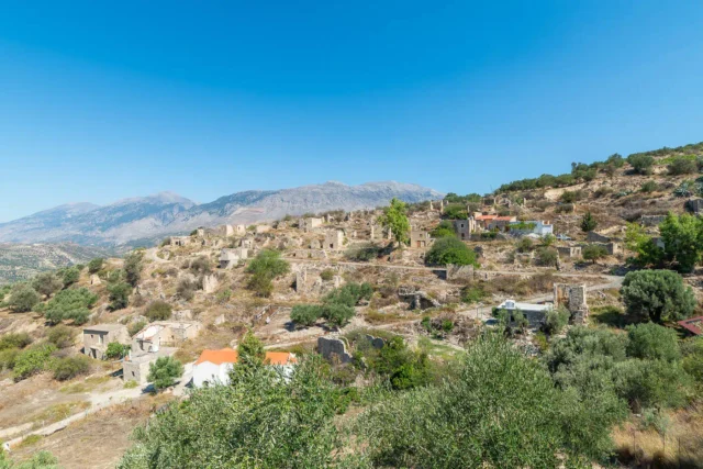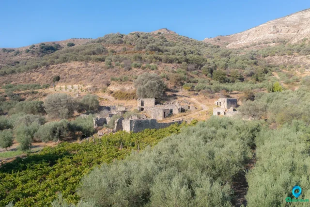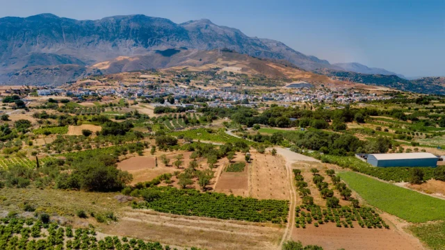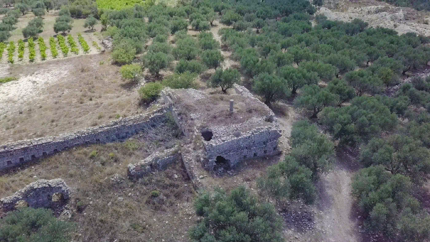
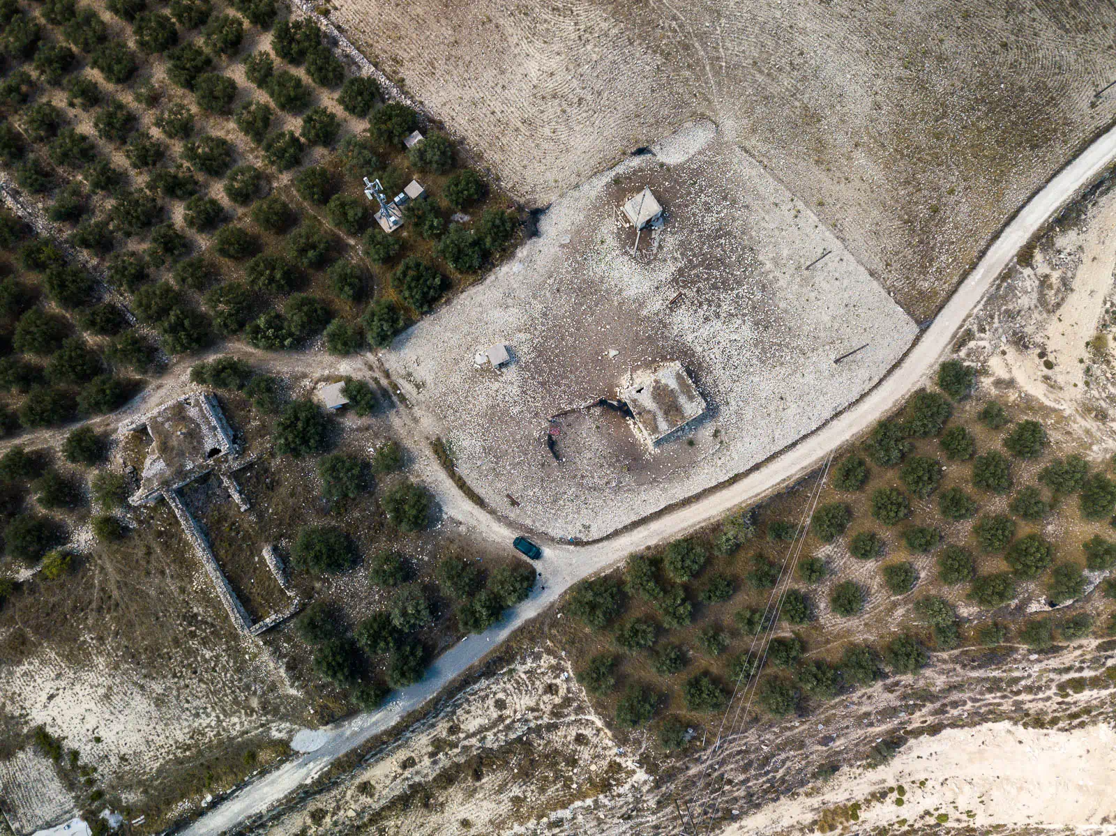
The Koules of Raftis, located at an elevation of 705 meters between Ano Moulia and the deserted settlement of Raftis, offers a commanding view of the Messara plain. Constructed in 1866 under the orders of Hussein Avni Pasha, this substantial fortification played a crucial role in safeguarding the Muslim village of Raftis during the Cretan Revolt of 1866-1869.
Koules: Ottoman Watchtowers in Crete
Koules, meaning “tower” in Turkish, were a series of small fortresses built by the Ottomans throughout Crete during the late 19th century. These structures were strategically positioned along coastlines, crossroads, mountain passes, and harbors to monitor the movements of Cretan rebels and maintain control over the island. Often within sight of each other, the Koules formed a network of surveillance and communication, enabling the swift transmission of messages and troop movements.
The Cretan Revolt (1866-1869) and the Koules
The Cretan Revolt of 1866-1869 was a pivotal moment in the island’s history. The Ottomans, facing persistent uprisings and challenges to their authority, realized the need for a new approach to quell the rebellion. Hussein Avni Pasha, appointed as the general administrator of Crete, initiated the construction of the Koules network to suppress revolutionary activities and establish firm control over the island.
The Koules Network: A Strategic Response
The Koules network was a strategic response to the Cretan Revolt, designed to cut off communication between rebels, prevent their resupply from the coast, and establish a constant Ottoman military presence across the island. By the end of 1868, over 150 Koules had been built, significantly contributing to the suppression of the revolt.
The Koules of Raftis: A Strategic Stronghold
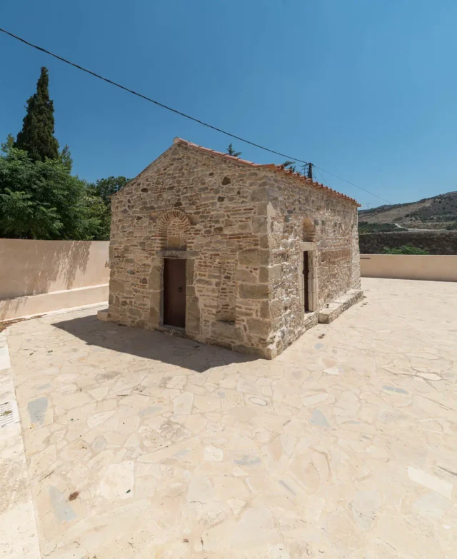
The Koules of Raftis, with its T-shaped layout and substantial size, served as a central hub in the Koules network, housing a military garrison and controlling the passage from Messara to Heraklion. Its elevated position provided a panoramic view of the surrounding landscape, enabling the Ottoman forces to monitor movements and preempt any rebel activity in the region. The fortress’s unique features, such as the arched entrances to its chambers, differentiate it from other Koules and suggest its significance as a strategic stronghold.
Fortifications: Key Points
- Construction Period: 1866
- Location: Between Ano Moulia and Raftis, overlooking the Messara plain
- Dimensions: Approximately 400 square meters
- Historical Significance: Central Koules in the Ottoman network, controlling the passage from Messara to Heraklion, protected the Muslim village of Raftis during the Cretan Revolt of 1866-1869.
- Current Status: Well-preserved ruins