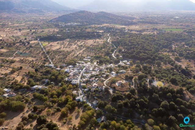
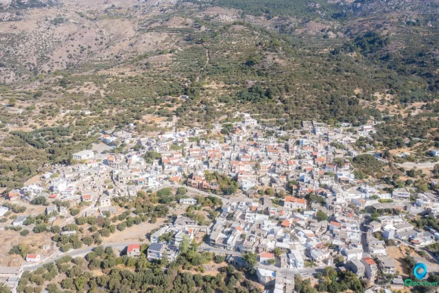
Katharo Plateau is located in the Lasithi Mountains, 26km south of Agios Nikolaos and 16km west of Kritsa, at an altitude of 1150 meters. The plateau’s waters are transported through the beautiful Havgas Gorge into the Lasithi Plateau.
Location
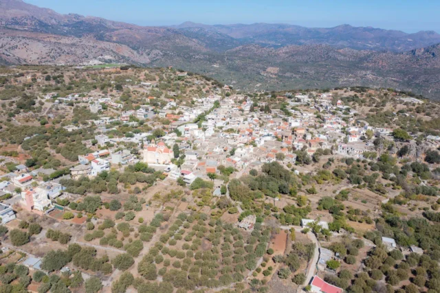
Katharo Plateau is situated in the Dikti mountain range in the Lasithi regional unit of Crete.
Historical Significance
Katharo has a rich history, with evidence of human activity dating back to the Minoan civilization. After a long dispute between the residents of Lasithi and Kritsa over ownership and grazing rights, the plateau was awarded to Kritsa. Numerous legal battles and documents in Greek and Turkish, meticulously preserved in the community archives, reveal the significance of Katharo’s ownership issue to the Turkish judges.
A local legend tells of a Turkish judge (Kadi) who was tasked with resolving the dispute. To determine the rightful owner, he asked questions about the distance between Katharo and the neighboring villages. The people of Kritsa, allegedly coached by a local leader, exaggerated the proximity of Katharo to their village, leading the judge to award them ownership. The location where a previous judge was killed during a similar dispute is still known as “Kadi’s Pit” or “Kadi Meitani.”
Current Status
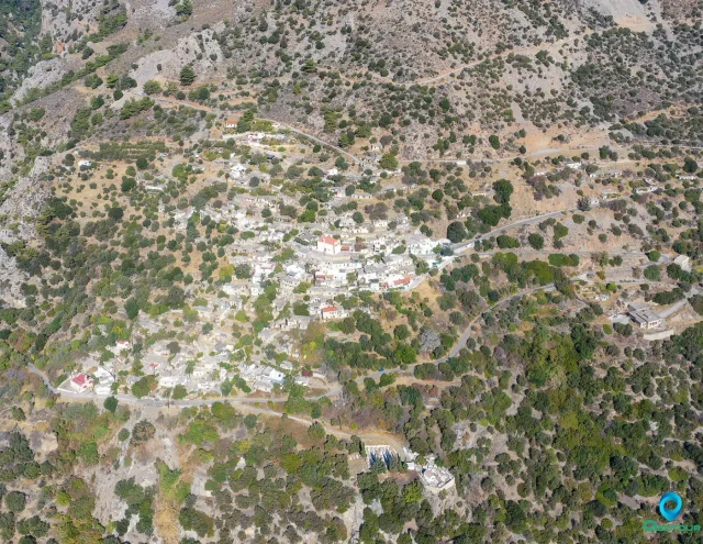
Katharo is inhabited by a few permanent residents, although there are several farmhouses belonging to the Kritsa community. The plateau is mainly used for cultivating potatoes, apple trees, and vineyards. The land is owned by the Kritsa community, and residents can lease portions for cultivation but cannot sell or transfer it to outsiders.
Access
Katharo can be accessed from Kritsa via a narrow but beautiful paved road that leads to the plateau and passes through a lovely oak forest. If you have a high-clearance vehicle, you can also take the road connecting Katharo to the Lasithi Plateau. A third dirt road connects the plateau with Malles Ierapetras and Selakano. The main hiking trails reaching Katharo are the European path E4 from the Lasithi Plateau, the European path E4 from Selakano, and the old kalderimi from Kritsa.
Points of Interest
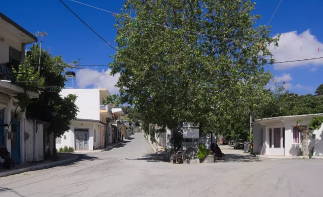
- Avdeliakos: A small settlement on the plateau with a few taverns serving traditional dishes throughout the summer.
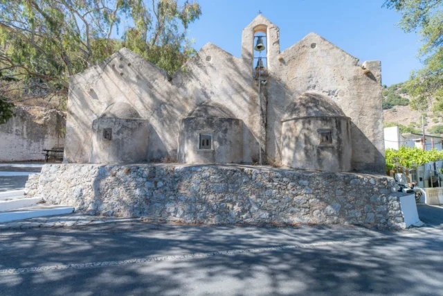
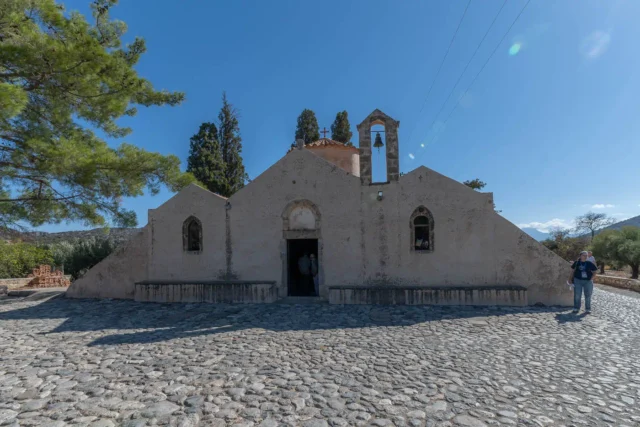
- Chapel of Afentis Christos: A picturesque chapel located on the road to Selakano, celebrating on August 6th.
- Kadi’s Pit: The location where a Turkish judge was killed during a dispute over the plateau’s ownership.
Activities
Visitors to Katharo can enjoy the cool summer temperatures, even during heatwaves. Hiking among the stone walls, apple trees, and giant oaks is a popular activity, as is exploring the surrounding mountains. The plateau is also a great place to observe the unique flora and fauna of the region.
Festivities
The Shepherd’s Festival, held on the first Saturday after August 15th, is a major event on Katharo. The plateau is filled with people who come to see how cheese and fresh mizithra are produced and enjoy local delicacies accompanied by traditional music.