


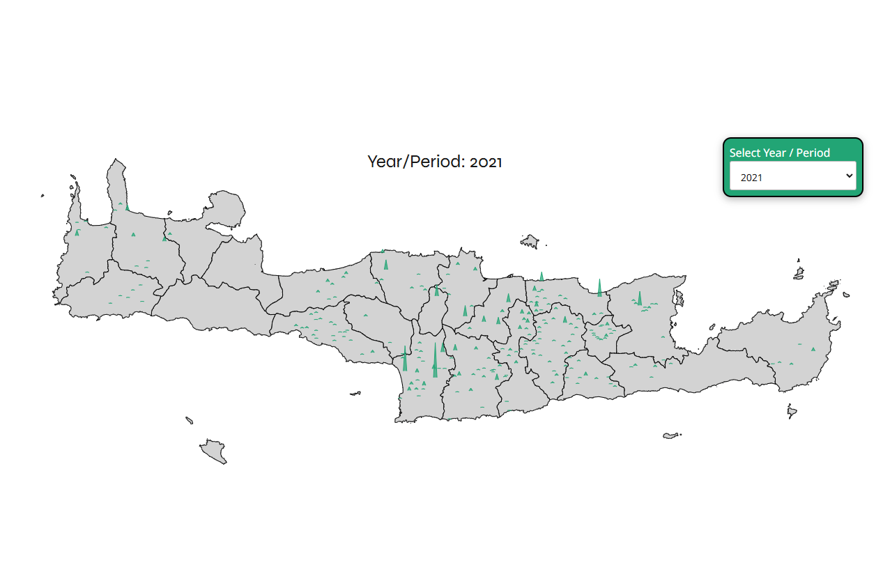
Combining the population of the villages and abandoned villages, as well as an estimation of how important older sites were, Geotour presents an interactive map of Crete with these numbers as spikes. The map is not complete and as more villages, abandoned villages, and sites are added to the site, the map will be more complete.
Important note: the villages and their population are still updated, so not all the villages of Crete are in the map and of course not all the years of the existing villages are updated yet.
Also, the major cities of Crete (Heraklion, Chania, Rethymno, Agios Nikolaos, Ierapetra, and Siteia) are excluded from the visualization. This is done for normalization purposes and to better showcase the population of smaller settlements in the interior of the island.
At the same time for historical periods, the spikes height are a rough estimation of the importance of the site, during that period, the rest, where the years are mentioned are the population numbers of the official census of that year.