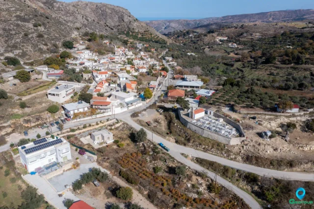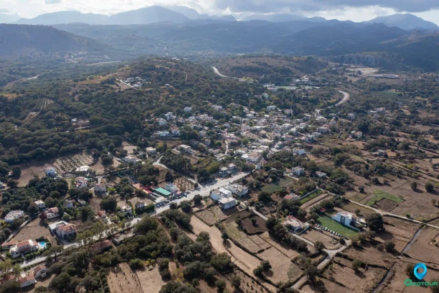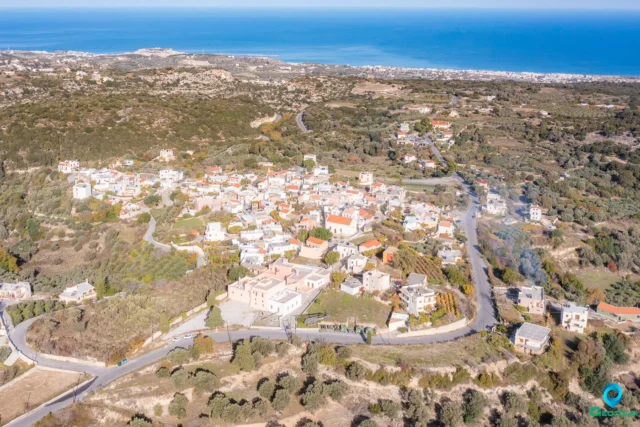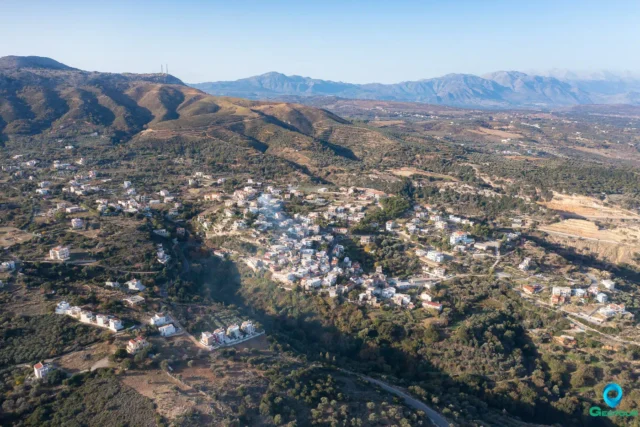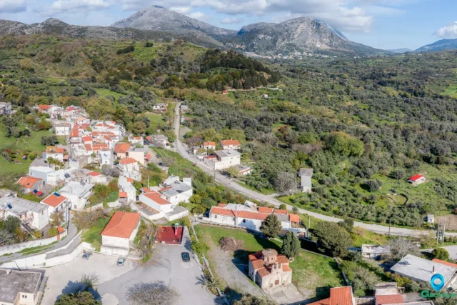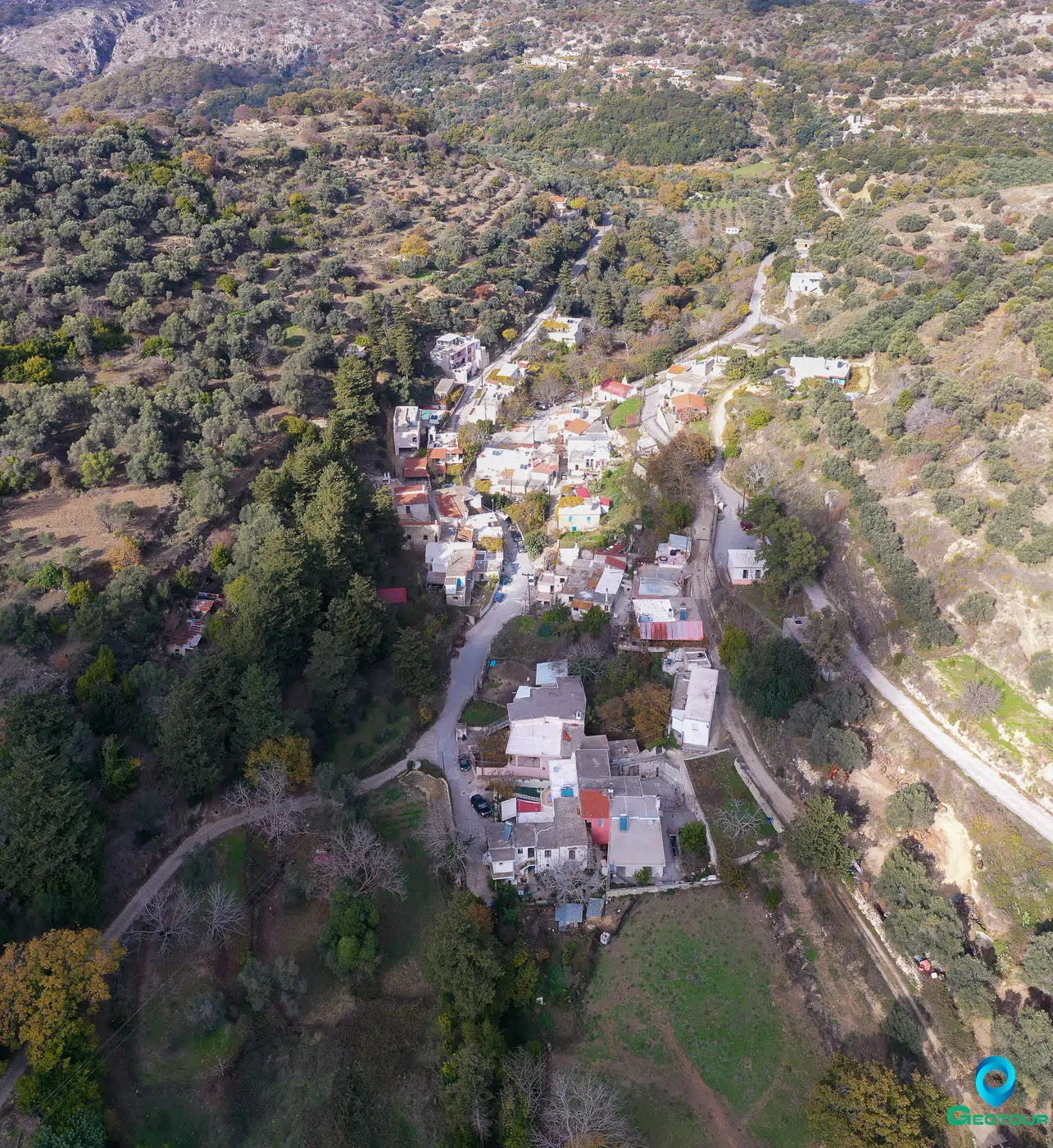

Goulediana is a village in the Rethymno regional unit on the island of Crete, Greece. It is part of the municipality of Rethymno. The village is situated at an altitude of 540 meters within a small valley. It is located 18 kilometers from the city of Rethymno.
Historical Background
The village of Goulediana does not appear in Venetian censuses but it seems to have been a metochi (dependency of a monastery). In the 1881 census, it is mentioned as part of the municipality of Chromonastiri with 139 inhabitants, all Christians. In the 1900 census, it had 171 inhabitants. In the 1920 census, it is reported as belonging to the community of Oros. In 1925, Goulediana was annexed to the community of Kare, but in 1933 it was designated as the seat of its own community. This status remained until the Kapodistrias administrative division, when it was annexed to the Municipality of Rethymno.
In the area of Onithi, a plateau at an altitude of about 700 meters southeast of the village, architectural remains have been found that belong to an as yet unidentified settlement of the historical period that had a fortified acropolis. The names of Osmida and Fallana are considered the most likely. Houses and an ancient fountain have been excavated. The finds from the excavations date back to the Archaic period, the 7th to 6th century BC. About 2.5 kilometers southeast of the village, at the site of Kera Onithi, a large Early Christian basilica (31 by 15 meters) has been excavated, which has been dated to the 5th century.
Places of Interest
The main church of the parish of Goulediana is dedicated to Agia Kyriaki (Saint Kyriaki). It is a single-aisled church that was built in 1787, and its sanctuary is located inside a cave. Other churches within the village include Agia Varvara (Saint Barbara) and the Genethlio tis Theotokou (Nativity of the Theotokou). Other churches in the wider Goulediana area include the Panagia Kera (Virgin Mary Kera), Zoodochos Pigi (Life-Giving Spring), Koimisis tis Theotokou (Dormition of the Theotokou), Agios Antonios (Saint Anthony) (cave), and Metamorphosis tou Sotira (Transfiguration of the Savior).
On the plateau southeast of the village is the archaeological site of Onithi, where archaic houses and an acropolis have been excavated, and a monumental ancient fountain is located. At the site of Kera Onithi, a large Early Christian basilica with a mosaic floor has been excavated.
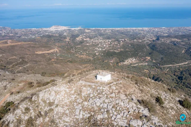
Onithe Archaeological Site
The Onithe archaeological site is located on a plateau southeast of Goulediana. It is an important site for understanding the history of the area from the Archaic period to the Early Christian period. The site includes the remains of a fortified acropolis, houses, a fountain, and a basilica.
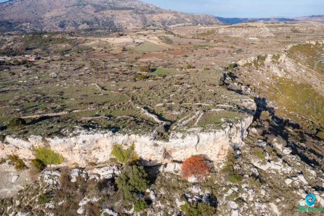
The Acropolis
The acropolis is located at the highest point of the plateau. It is fortified with a wall that is thought to date back to the Hellenistic period. The acropolis offers excellent views of the surrounding area, including the road to Agios Vasilios (Saint Vasilios) and the valley that connects the provinces of Agios Vasilios and Amari.
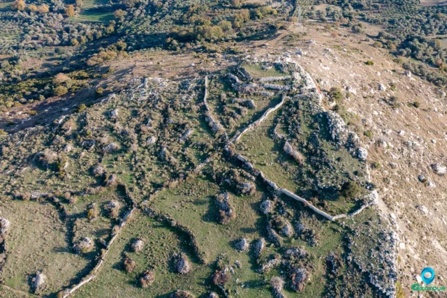
The Houses
A number of houses have been excavated at Onithe. They date back to the Archaic period. The houses are made of stone and have a number of rooms.
The Fountain
The fountain is located near the houses. It is a monumental structure that is thought to have been built in the 6th century BC. The fountain is decorated with a relief of a lion’s head.
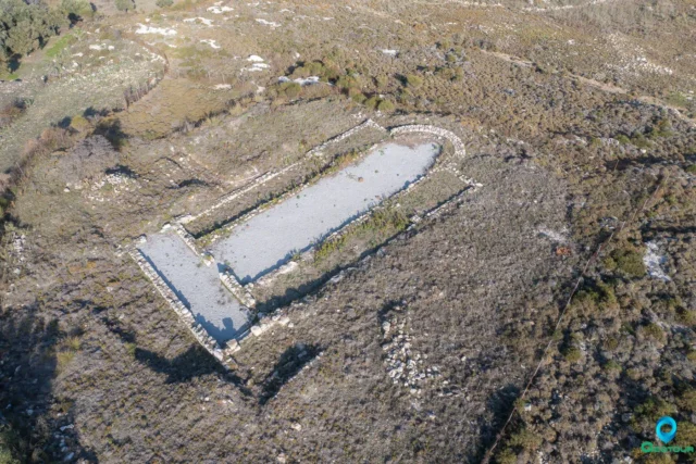
The Basilica
The basilica is located about 2.5 kilometers southeast of Goulediana. It is a large structure that dates back to the 5th century AD. The basilica has a mosaic floor and a number of other interesting features.
Settlement: Key Points
- Historical References: Goulediana does not appear in Venetian censuses but seems to have been a metochi.
- Location: The village is situated at an altitude of 540 meters within a small valley, 18 kilometers from Rethymno city.
- Historical Significance: The village has been inhabited since at least the Archaic period.
- Population Data:
Year |
Population |
Notes |
|---|---|---|
1881 |
139 |
Christians |
1900 |
171 |
|
1920 |
184 |
|
1928 |
163 |
|
1940 |
195 |
|
1951 |
163 |
|
1961 |
151 |
|
1971 |
116 |
|
1981 |
118 |
|
1991 |
118 |
|
2001 |
103 |
|
2011 |
73 |
|
2021 |
60 |
- Current Status: Goulediana is a small village with a declining population.
References