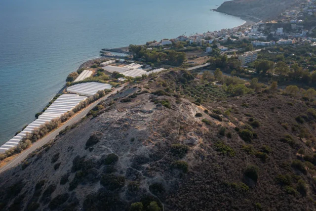
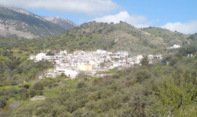
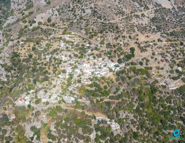
Geography
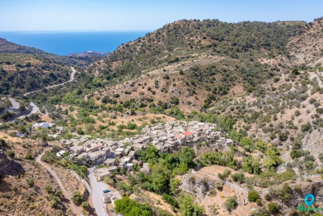
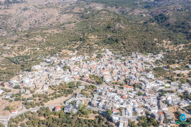
Mournies (Μουρνιές) is a village located in the municipality of Ierapetra in eastern Crete. It is situated at an altitude of 310 meters. The village is approximately 19 kilometers from the city of Ierapetra, along the provincial road that leads to Viannos. The name of the village is likely derived from the mulberry tree (Mournia), although these trees are not particularly common in the area.
History
The earliest official record of Mournies is in the 1881 census, where it was listed as the administrative center of the Municipality of Mournies. At that time, it had a population of 308 residents, all of whom were Christian. During the periods of rebellion against Ottoman rule, the village served as a significant revolutionary and administrative center for the Eastern Province of Viannos, to which it belonged until 1929.
In the 1920 census, Mournies was designated as the seat of its own community, which also included the settlement of Ano Symi. The community was initially part of the Viannos province but was incorporated into the Ierapetra province in 1932. This administrative status was maintained until the implementation of the Kapodistrias plan, at which point Mournies became part of the larger Municipality of Ierapetra.
Second World War
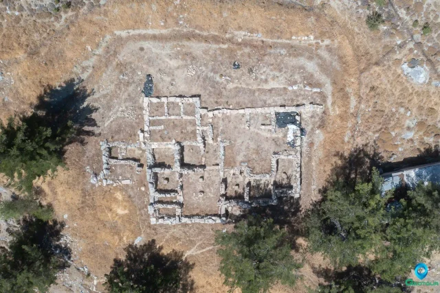
In September 1943, during the German occupation of Crete, Mournies was subjected to severe reprisals as part of the broader destruction of villages in the Viannos and western Ierapetra regions. These events followed a battle between Cretan resistance fighters and German forces in Kato Symi.
On September 15, 1943, German troops moving from the village of Riza entered Mournies. They arrested fifteen men from the village and an additional six from the nearby village of Parsas. All twenty-one captives were taken to a location known as Seli in Sfakoura and executed.
The following day, September 16, another German unit, which had previously devastated the village of Gdochia, arrived in Mournies. They ordered the women and children to evacuate and head towards Ierapetra. After the civilians had left, the soldiers set the village on fire. One woman who remained in her home was burned to death. The entire area was subsequently declared a “dead zone” by the occupying forces. The bodies of those executed were left unburied for 45 days, after which a 24-hour permit was granted to the surviving relatives to collect what remained of the bodies for burial.
Points of Interest
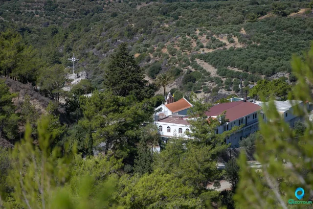
The village retains some of its traditional character. Notable features include an old stone fountain and older houses situated along its narrow streets. The main parish church in Mournies is dedicated to Agios Charalambos (Saint Charalambos).
Settlement: Key Points
- Location: Situated at an altitude of 310 meters, 19 kilometers from Ierapetra, in the Lasithi regional unit.
- Historical Significance: Served as an administrative and revolutionary center during uprisings against the Ottomans. It was one of the villages that suffered destruction and mass executions by German forces in September 1943.
- Administrative History: Initially the seat of its own municipality and later a community, it is now part of the Municipality of Ierapetra.
- Current Status: A small village within the Municipal Unit of Ierapetra.
- Population Data: The population of Mournies has seen a significant decline over the last century, as shown in the following table.
Year | Population |
1881 | 308 |
1900 | 380 |
1920 | 332 |
1928 | 332 |
1940 | 234 |
1951 | 328 |
1961 | 270 |
1971 | 183 |
1981 | 203 |
1991 | 136 |
2001 | 83 |
2011 | 105 |
2021 | 62 |