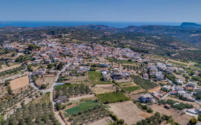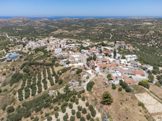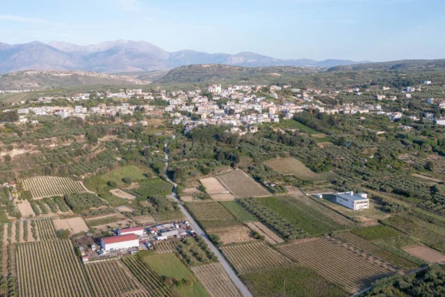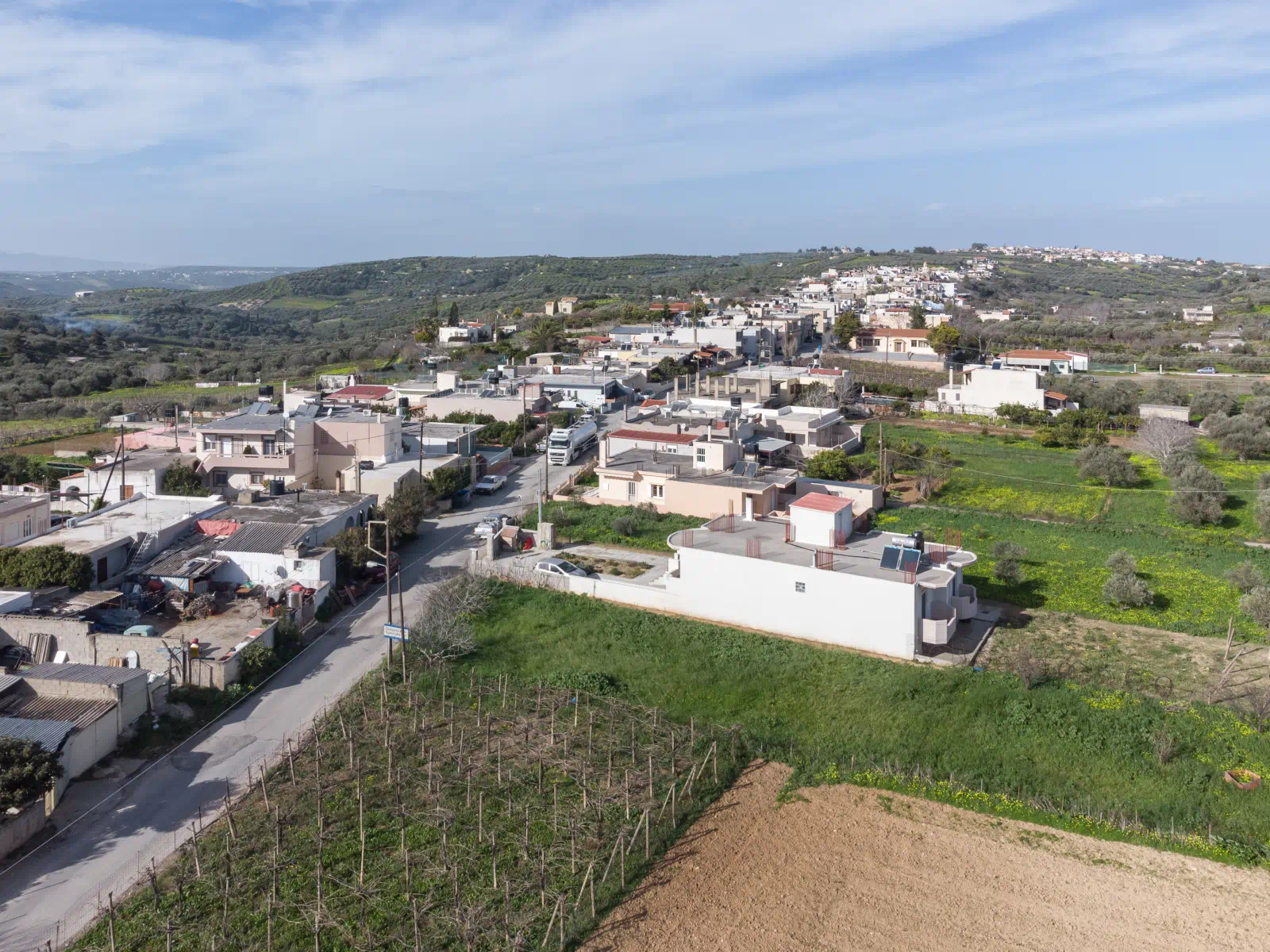
Sgourokefali (officially Sgourokefalion) is a village in the Municipality of Chersonisos, Heraklion regional unit, Crete, Greece. It sits at an altitude of 330 meters, approximately 18 kilometers from Heraklion city and 10 kilometers from the nearest beach (Amnissos beach).
The village is located on a hill, offering views of the surrounding area. The main occupations of the residents are viticulture (grape cultivation) and olive growing, producing raisins, olive oil, and wine.
History
According to tradition, the village’s name comes from a shepherd named Sgouros who built his house on the top of the hill (“kefali” in Greek). This led to the name “Tou Sgouro to Kefali,” which evolved into Sgourokefali.
The village is first mentioned in the 1577 inventory by Barozzi. The 1583 Venetian census records it as “Sgourochieffali” with 62 inhabitants. In 1881, the village had 320 Christian inhabitants.
Landmarks
- Central Square: The village square features a war memorial (Heroon) dedicated to the fallen of World War II, a stone fountain (formerly a well), traditional cafes, and is the central gathering place for social events.
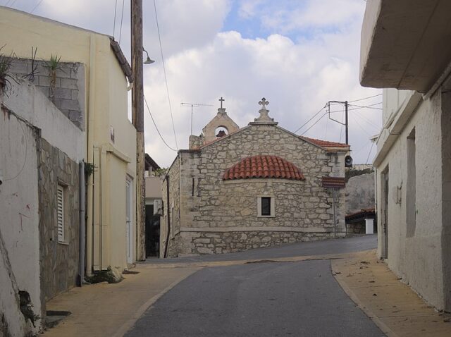
- Churches:
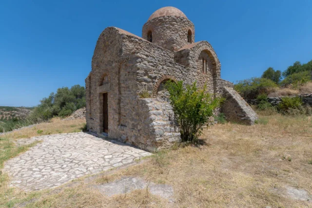
- Church of the Holy Trinity and the Annunciation: A two-aisled church within the village. The village feast day (panigyri) is celebrated on June 9th.
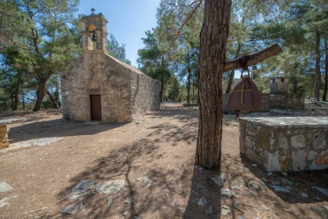
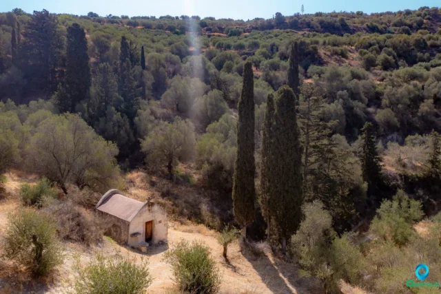
- Other Churches: Agia Marina, Agios Georgios, Agios Ioannis, Metamorphosis tou Sotira (Church of the Transfiguration), and Agios Nikolaos (with well-preserved frescoes) are located near the village.
Karteros Gorge
Approximately 1300 meters west of Sgourokefali is the Karteros Gorge, named after the Karteros River that flows through it. The gorge is part of the Natura 2000 network of protected areas and offers opportunities for hiking, cycling, and nature walks. Sites of historical and cultural interest within the gorge include the ancient city of Eltyna, the Minoan settlement of Myrtia, and the Minoan cemetery of Astrakoi.
Village Key Points
- Historical References:
- 1577 inventory by Barozzi.
- 1583 Venetian census as “Sgourochieffali” with 62 inhabitants.
- Location: Municipality of Chersonisos, Heraklion regional unit, Crete, Greece. 18 km from Heraklion city.
- Altitude: 330 meters
- Historical Significance: Traditional village with a name linked to its founder.
- Population:
Year |
Population |
|---|---|
1583 |
62 |
2001 |
444 |
2011 |
474 |
2021 |
432 |
- Current Status: Active village with a primarily agricultural economy.