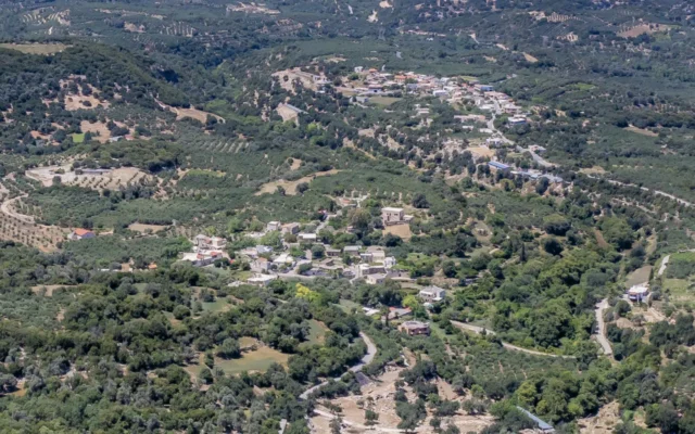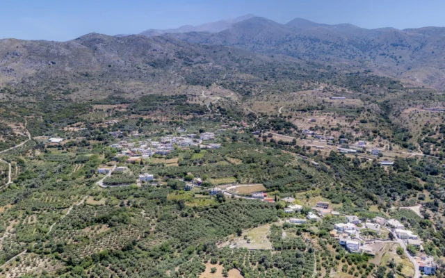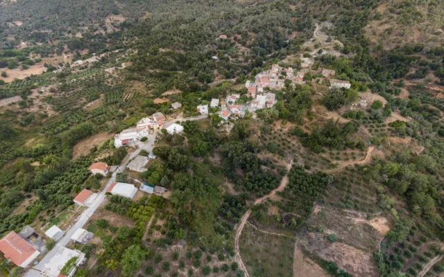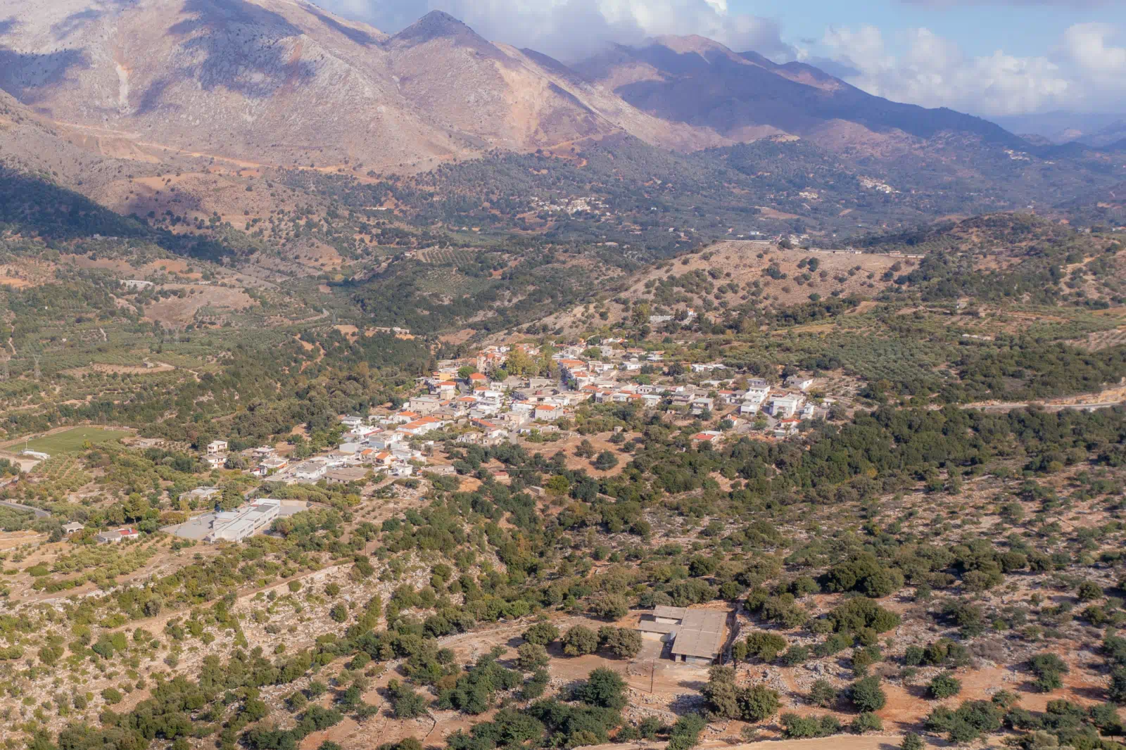
Garazo is a village and the seat of the municipality of Kouloukonas in the Mylopotamos regional unit on the island of Crete, Greece. Situated at an elevation of 270 meters, it offers views of the Mylopotamos valley and is located 37 kilometers from Rethymno.
Historical Background
The village’s history is well-documented. It was first mentioned in 1577 by Francesco Barozzi as “Garaso” within the Mylopotamos province. The Venetian census of 1583, conducted by Castrofylakas, recorded it as “Garaso” with 314 residents. Further references include Basilikatas in 1630 as “Garasso” and the Turkish census of 1671 as “Garazo” with 65 taxable incomes. Although absent from the 1834 Egyptian census, it reappeared in 1881 as “Garazo” with 425 inhabitants, all Christians, and served as the seat of the homonymous municipality.
Population Trends
The demographic evolution of Garazo is presented in the following table:
Year |
Population |
|---|---|
1900 |
485 |
1920 |
522 |
1928 |
540 |
1940 |
543 |
1951 |
506 |
1961 |
550 |
1971 |
494 |
1981 |
498 |
1991 |
495 |
2001 |
556 |
2011 |
305 |
Administrative Context
Officially recognized as a settlement in 1925, Garazo was designated the seat of the newly established community of the same name. In 1997, it became the seat of the Kouloukonas municipality. Under the Kallikratis and Kleisthenes I programs, it forms the community of Garazo, which includes the settlements of Mourtzana, Omala, and Faratsi. This community falls under the Kouloukonas municipal unit within the Mylopotamos municipality. As of the 2011 census, Garazo’s population stands at 305.
Points of Interest
- Central Square: The heart of the village features a spacious square, once home to three massive oak trees, now replaced by a smaller one.
- “Tou Dore” Pathway: A downward sloping cobblestone path connects the new and old settlements.
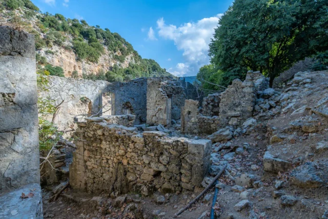
- “Volta” Neighborhood: The first neighborhood of the old settlement, centered around three arches housing the former Turkish prisons.
- Church of St. John the Baptist: Located near the Volta neighborhood, its courtyard once served as a pathway connecting the village to the lower fountain.
- “Arkalia” Neighborhood: Houses the old aqueduct, constructed in 1915.
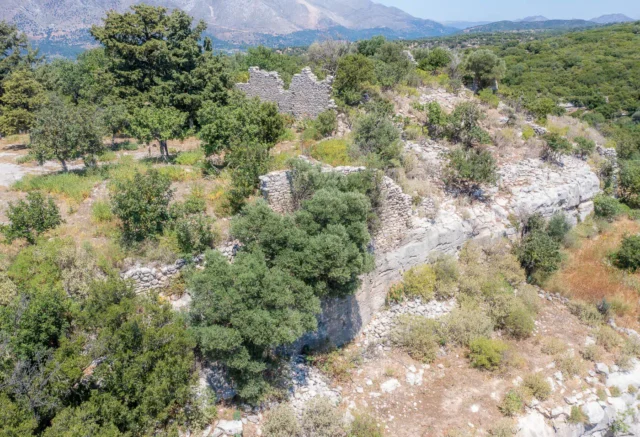
- Village Fountain-Cistern: A notable example of folk architecture, designated as a historical preserved monument.
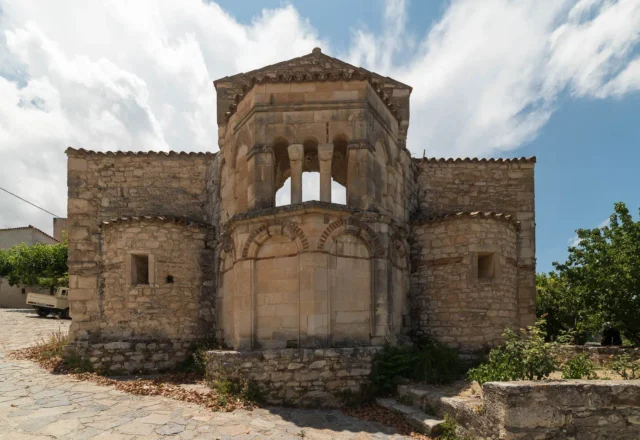
- Church of the Dormition of the Theotokos: A unique two-aisled church, with one aisle dedicated to Saint Charalambos. Its facade replicates that of the Arkadi Monastery’s main church and was designed by architect Markos Makridis.
- Museums: Garazo boasts three museums: the Museum of Applied Ceramics, the Folklore Museum, and the Olive and Oil Museum.
- Stone Bridge: A three-arched stone bridge on the old Rethymno-Heraklion national road near Garazo, built in 1909-1910, is well-preserved and classified as a monument.
- “Citron Festival”: An annual celebration held in mid-August to mark the citron harvest, a fruit that was once a major crop in the area. The village is known for producing “kitroraki,” a citron-flavored raki.
Additional Information (if available)
- Construction Period: Information about the construction period of specific landmarks like the Church of the Dormition of the Theotokos or the stone bridge could be added here if available.
- Location: Geographic coordinates are already provided at the beginning of the text.
- Historical Significance: The text highlights Garazo’s historical significance as the former seat of the Kouloukonas municipality and its role in the Cretan Revolution. Additional details about its historical importance could be incorporated if found.
- Current Status: The text mentions Garazo’s current status as a village within the Mylopotamos municipality and its population as of the 2011 census. Further information about its present-day activities, economy, or cultural events could be added.
[tribe_featured_venue id=``9428``]