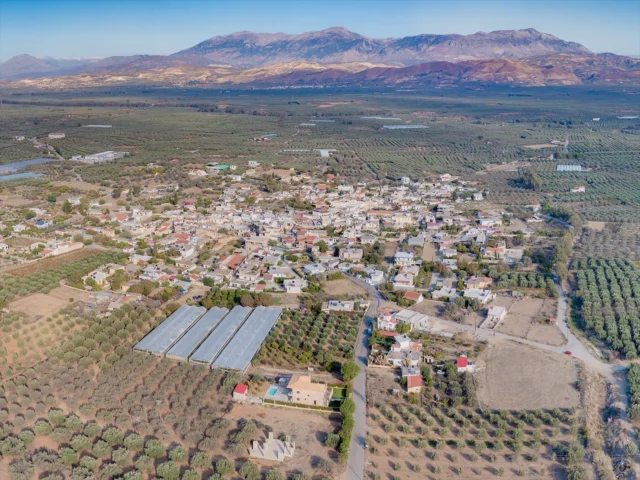
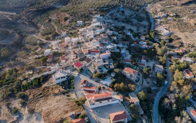
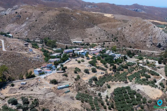
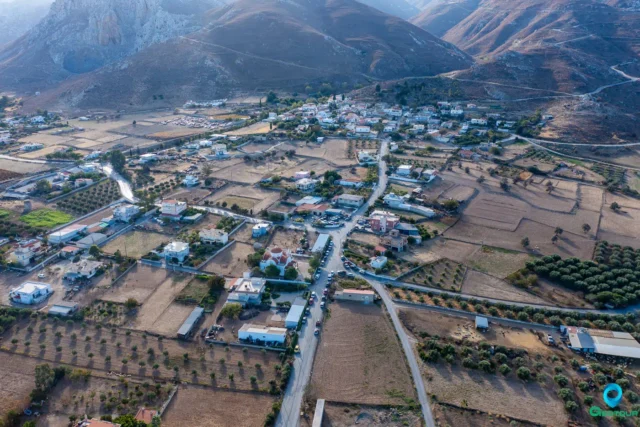
Vasilika Anogeia is a small village situated in the Messara plain in southern Crete. It is part of the Gortyna municipality within the Heraklion regional unit. The village is approximately 57 kilometers from Heraklion, the capital of Crete.
Village Life and Economy
The village’s inhabitants are primarily involved in agriculture, with a focus on olive groves, vineyards, and cereal crops. Early vegetables are also cultivated, and there is some domestic animal husbandry.
Historical Context
The toponym “Anogeia” can be found in other regions of Crete, but the origin of the adjective “Vasilika” remains uncertain. It is notably absent from older censuses. The village, referred to simply as “Anogeia,” appears in a document from 1182 detailing the distribution of fiefs, stating: “The Phokas lords hold in the areas of Chandakas and Rethymno the cross-shaped mountains with the royal and toxic uplands.” In a census by Kastrofylakas, it is listed as “Anogia Catto” with 331 inhabitants and “Anogia Apanno” with 50 inhabitants. In Barozzi’s catalogs and a later Turkish census from 1671, it is also mentioned as “Basilikata.”
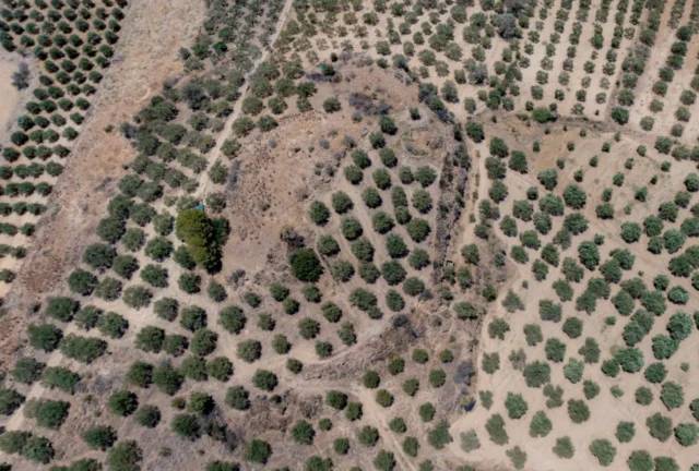
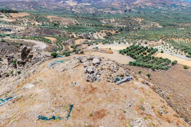
It’s worth noting that the “Apanno village” mentioned in Kastrofylakas’ census is where the cemetery of Vasilika Anogeia is located today. This settlement was destroyed at an unknown time and for an unknown reason.
Landmarks
The village church is dedicated to Agia Triada (Holy Trinity).
Village Key Points
- Historical References: The village is mentioned in an 1182 document and later censuses under various names, including Anogeia, Anogia Catto, Anogia Apanno, and Basilikata.
- Location: Vasilika Anogeia is located in the Messara plain in southern Crete, approximately 57 km from Heraklion.
- Historical Significance: The village features old mansions that attest to its past prosperity. The “Apanno village” mentioned in historical records is now the site of the village cemetery.
- Population data over the years:
- 1182: The village is mentioned in a document detailing the distribution of fiefs
- Kastrofylakas’ census: Anogia Catto (331 inhabitants), Anogia Apanno (50 inhabitants)
- 2011 census: 177 inhabitants
- Current Status: Vasilika Anogeia is a small village with a primarily agricultural economy.