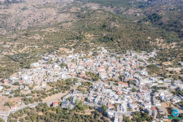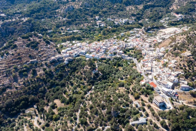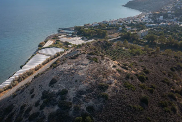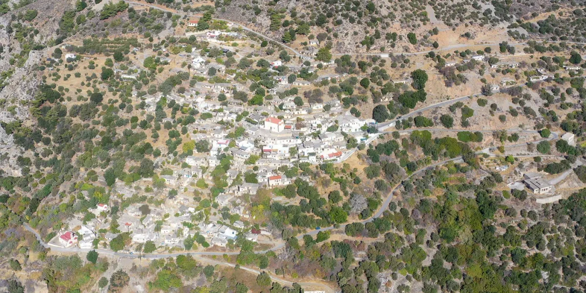
Overview Christos is a village in the Ierapetra municipality in eastern Crete, Greece. It lies on the southeast slopes of the Dikti mountains at an altitude of 520 meters. The village is 28 kilometers from Ierapetra and west of the Selakano plateau.
Location Christos sits on the southeast slopes of the Dikti mountains at an altitude of 520 meters. It is 28 kilometers west of Ierapetra and west of the Selakano plateau.
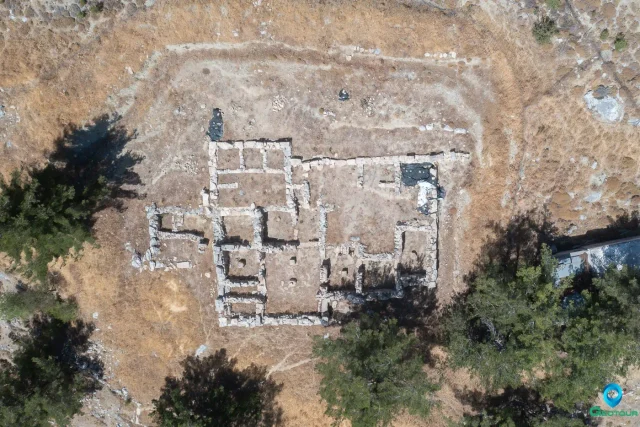
History The area around Christos has been inhabited since ancient times. The ruins of the acropolis of the ancient city of Mala are located between Christos and Males, above the chapel of Agia Paraskevi. Arthur Evans found Mycenaean fortification remains there. Christos was likely founded during the second Byzantine period.
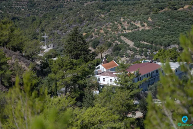
Historical records show that Francesco Barozzi mentioned Christos in 1577 as Simi Christo, which belonged to the Belvedere-Rizou province. In 1583, a census by Kastrofylakas referred to it by the same name and recorded a population of 121. The census also mentioned a Monastery of Christ in the Belvedere province, but the exact location isn’t known.
The village appears as Hristu in the 1671 Turkish census. The 1834 Egyptian census recorded it as Christos with 38 Christian and 1 Turkish family. By the 1881 census, Christos had 381 Christian residents within the Viannos province.
Settlement: Key Points
- Historical references: Mentioned as Simi Christo in 1577 and later censuses.
- Location: Southeast slopes of the Dikti mountains, 28 kilometers from Ierapetra.
- Historical significance: Near the ruins of the ancient city of Mala; potentially founded during the second Byzantine period.
- Population data: See table below.
- Current status: A small village with limited amenities; focused on agriculture and tourism related to the Selakano plateau.
Population
Year | Population | Notes |
|---|---|---|
1583 | 121 | As Simi Christo |
1881 | 381 | Christians |
1900 | 444 | |
1920 | 515 | |
1928 | 544 | |
1940 | 683 | |
1951 | 691 | |
1961 | 549 | |
1971 | 368 | |
1981 | 138 | |
1991 | 151 | |
2001 | 110 | |
2011 | 64 | |
2021 | 50 |
References