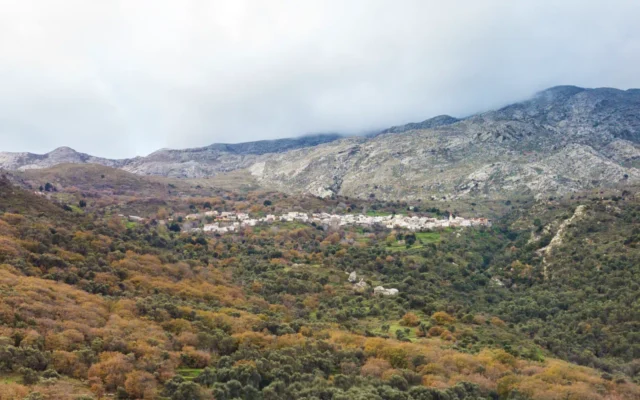
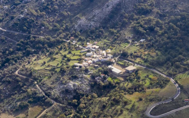
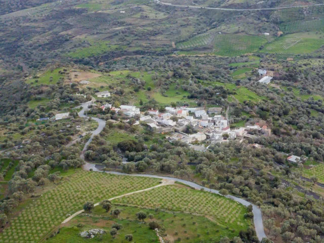
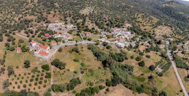
Chordaki, (officially Chordakion), is a settlement within the community of Ano Meros, located in the Amari municipality, in the Rethymno regional unit of Crete, Greece. As of the 2011 census, its population was 9. It is situated 53 kilometers away from Rethymno, at an altitude of 460 meters.
History
The earliest mention of the village dates back to a document from the Ducal Archives of Chandax in 1372, where it is referenced as the location of the Coradinou Tzane feud. The village is mentioned by Francesco Barozzi in 1577 as Ghoridachi. In the Venetian census of 1583 by Castrofilaca, it is recorded as Coridachi with 42 inhabitants, and Francesco Basilicata mentions Coridhachi in 1630. During the Egyptian census of 1834, 8 families were recorded in the village, all of whom were Turkish. The name Chordaki suggests that it was a small village.
In the 1881 census, it is referred to as Chordaki in the municipality of Apodoulou, with 44 Christian and 25 Muslim residents. By 1900, it had 68 inhabitants and belonged to the same municipality. In 1920, it is mentioned as annexed to the agricultural municipality of Ano Meros. In 1925, the village was annexed to the community of Ano Meros until the Kapodistrian administrative division, when it was annexed to the municipality of Sivritos. Since 2011, it has been part of the Amari municipality.
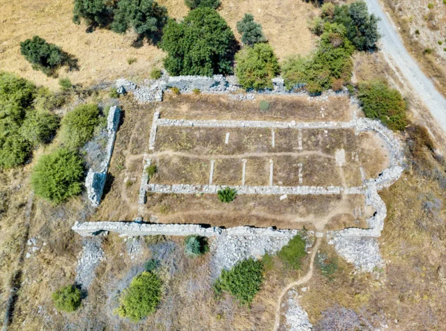
A primary school operated in the village from 1950 to 1970.
The demographic evolution of the village, based on censuses, is as follows:
Year |
Population |
Notes |
|---|---|---|
1583 |
42 |
Coridachi |
1881 |
72 |
48 Christians, 24 Muslims |
1900 |
68 |
|
1920 |
77 |
|
1928 |
77 |
|
1940 |
79 |
|
1951 |
96 |
|
1961 |
88 |
|
1971 |
52 |
|
1981 |
38 |
|
1991 |
33 |
|
2001 |
18 |
|
2011 |
9 |
|
2021 |
5 |
Religious Sites
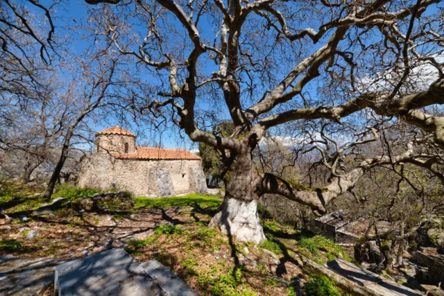
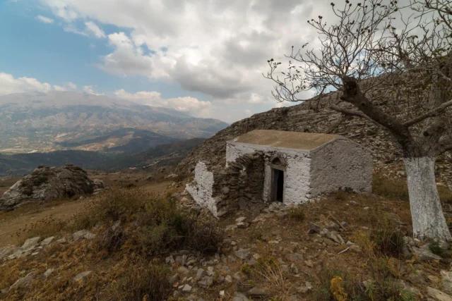
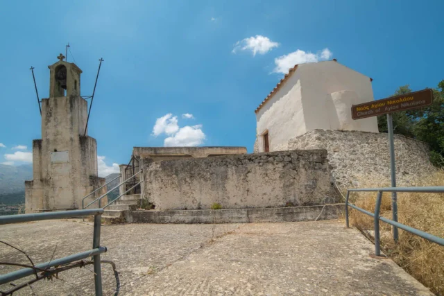
The village houses the church of Agia Anna (Saint Anne) and the church of Panagia Faneromeni or Zoodochos Pigi (The Life-Giving Spring). The church of Panagia was previously a dependency of the Kaloidena Monastery, and its interior features frescoes and an inscription from 1634, which mentions the monks Meletios and Konstantinos Varouchas.
Settlement: Key Points
- Historical References: Mentioned in the Ducal Archives of Chandax (1372) and by Francesco Barozzi (1577).
- Location: Part of the Amari municipality in Rethymno, Crete.
- Historical Significance: Under Venetian and Ottoman rule, later part of the independent Greek state.
- Population Data: Detailed population data from 1583 to 2021 (see table above).
- Current Status: A small village with a population of 5 (2021 census).
References